Raspberry Creek Trail
- 2.8 mi
- round trip
- 3,479 ft
- climb
- 11,293 ft
- high point
- Out and back
- route
Is Raspberry Creek Trail open right now?
Alert in the area
The Forest Service lists 6 alerts for White River National Forest.
FSR 286, Radical Hill, is closed due to washouts and unsafe conditions
Agency alert covering White River National Forest · USFS · White River National Forest
Limited parking at Snowmass Creek Trailhead
Agency alert covering White River National Forest · USFS · White River National Forest
Grizzly Creek Trail Closure
Agency alert covering White River National Forest · Order 2026-02 · USFS · White River National Forest
Ruedi Marina Day Use area Dump Station is CLOSED
Agency alert covering White River National Forest · USFS · White River National Forest
Asbestos safety closure - Camp Hale
Agency alert covering White River National Forest · USFS · White River National Forest
As of · Source: USFS · White River National Forest. Agencies don't list every closure — check before you go.
Raspberry Creek Trail is a hard out-and-back hike in Colorado's Raggeds Wilderness, part of the Sopris Ranger District of the White River National Forest. The trail starts at about 10,000 feet and climbs to a high point of 11,293 feet, with a total elevation gain of 3,479 feet over the course of the 5.6-mile round trip. The steepest stretch comes at about 2 miles in, where the grade reaches 34 percent. The trail is a long, steep climb, and the Forest Service manages the land. Plan on about 3.5 hours for the trip. The route begins at the low point of 9,997 feet and ends at the same elevation, so the full 3,479 feet of gain is for the whole trip. Several other destinations sit within a few miles. Anthracite Pass is about 1.3 miles away and Yule Pass about 1.5 miles. Marble RV Park and Campground is about 1.9 miles off, and the Crystal River, a canoeing spot, is about 2.1 miles away.
Local outfitters
- Maroon Bells Guide and Outfitters19 mi away
- Hanging Lake Adventure Co-op36 mi away
Not on Roamze yet. Their page has how to reach them.
- Anthracite PassHiking1.3 mi
- Yule PassHiking1.5 mi
- Raspberry CreekHiking1.9 mi
- Marble RV Park and CampgroundCamping1.9 mi
- Crystal RiverCanoeing2.1 mi
- Bogan Flats Group CampgroundCamping4.7 mi
- Anthracite CreekCanoeing7.9 mi
- Carbondale AreaRock climbing9.5 mi
Source: Roamze catalog (indexable pages within 10 miles, PostGIS distance)
 North LostHiking · ~6 min drivePhoto: snowpeak, CC BY 2.0 (via Flickr)
 Hagerman PeakHiking · ~11 min drivePhoto: The Greater Southwestern Exploration Company from Long Beach, California, United States, CC BY 2.0 (via Wikimedia Commons)
 North Fork Crystal RiverHiking · ~12 min drivePhoto: GSEC, CC BY 2.0 (via Flickr)
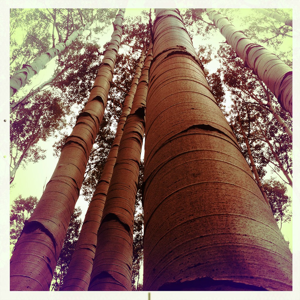 Mcclure Pass X-C SkiHiking · ~13 min drivePhoto: denverkid, CC BY 2.0 (via Flickr)
 HUNTSMAN RIDGEHiking · ~13 min drivePhoto: denverkid, CC BY 2.0 (via Flickr)
- Treasury MountainHiking · ~12 min drivePhoto: The Greater Southwestern Exploration Company from Long Beach, California, United States, CC BY 2.0 (via Wikimedia Commons)
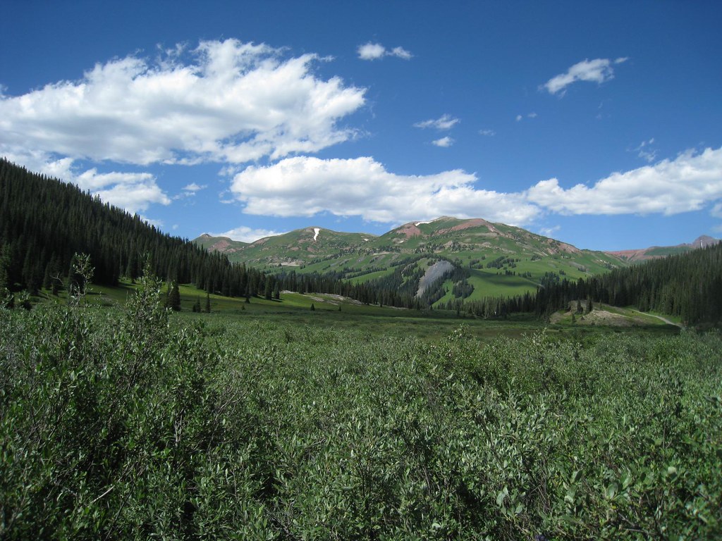 Trail RidersHiking · ~14 min drivePhoto: GSEC, CC BY 2.0 (via Flickr)
- Tomahawk Reservoir Trail 820.1BHiking · ~10 min drive
 Yule PassHiking · ~14 min drivePhoto: GSEC, CC BY 2.0 (via Flickr)
- Yule PassHiking · ~3 min drive


Map and trail data © OpenStreetMap contributors
