Huntsman Ridge
 Photo: denverkid, CC BY 2.0 (via Flickr)
- 2.7 mi
- round trip
- 2,451 ft
- climb
- 10,392 ft
- high point
- Out and back
- route
- Jun–Sep
- best months
Is HUNTSMAN RIDGE open right now?
Alert in the area
The Forest Service lists 6 alerts for White River National Forest.
FSR 286, Radical Hill, is closed due to washouts and unsafe conditions
Agency alert covering White River National Forest · USFS · White River National Forest
Limited parking at Snowmass Creek Trailhead
Agency alert covering White River National Forest · USFS · White River National Forest
Grizzly Creek Trail Closure
Agency alert covering White River National Forest · Order 2026-02 · USFS · White River National Forest
Ruedi Marina Day Use area Dump Station is CLOSED
Agency alert covering White River National Forest · USFS · White River National Forest
Asbestos safety closure - Camp Hale
Agency alert covering White River National Forest · USFS · White River National Forest
As of · Source: USFS · White River National Forest. Agencies don't list every closure — check before you go.
Huntsman Ridge is a moderate out-and-back hike in Colorado's White River National Forest, within the Sopris Ranger District. The trail starts at the Huntsman Ridge Trailhead and climbs to a high point of 10,392 feet, with a total elevation gain of 2,451 feet over a 5.3-mile round trip. The climb is front-loaded, with the steepest stretch at about 1.1 miles in, where the grade reaches 30 percent. Summer is the most comfortable time to go. Typical averages from a nearby weather station at a similar elevation show July highs around 68°F and lows near 42°F, while winter highs stay in the mid-20s. McClure Pass X-C Ski lies just 0.2 miles away, and Placita is about 1.2 miles off. McClure Campground and Bogan Flats Campground are both within about 2.5 miles, so the ridge makes an easy anchor for a longer trip in the area.
Local outfitters
- Maroon Bells Guide and Outfitters22 mi away
- Hanging Lake Adventure Co-op29 mi away
Not on Roamze yet. Their page has how to reach them.
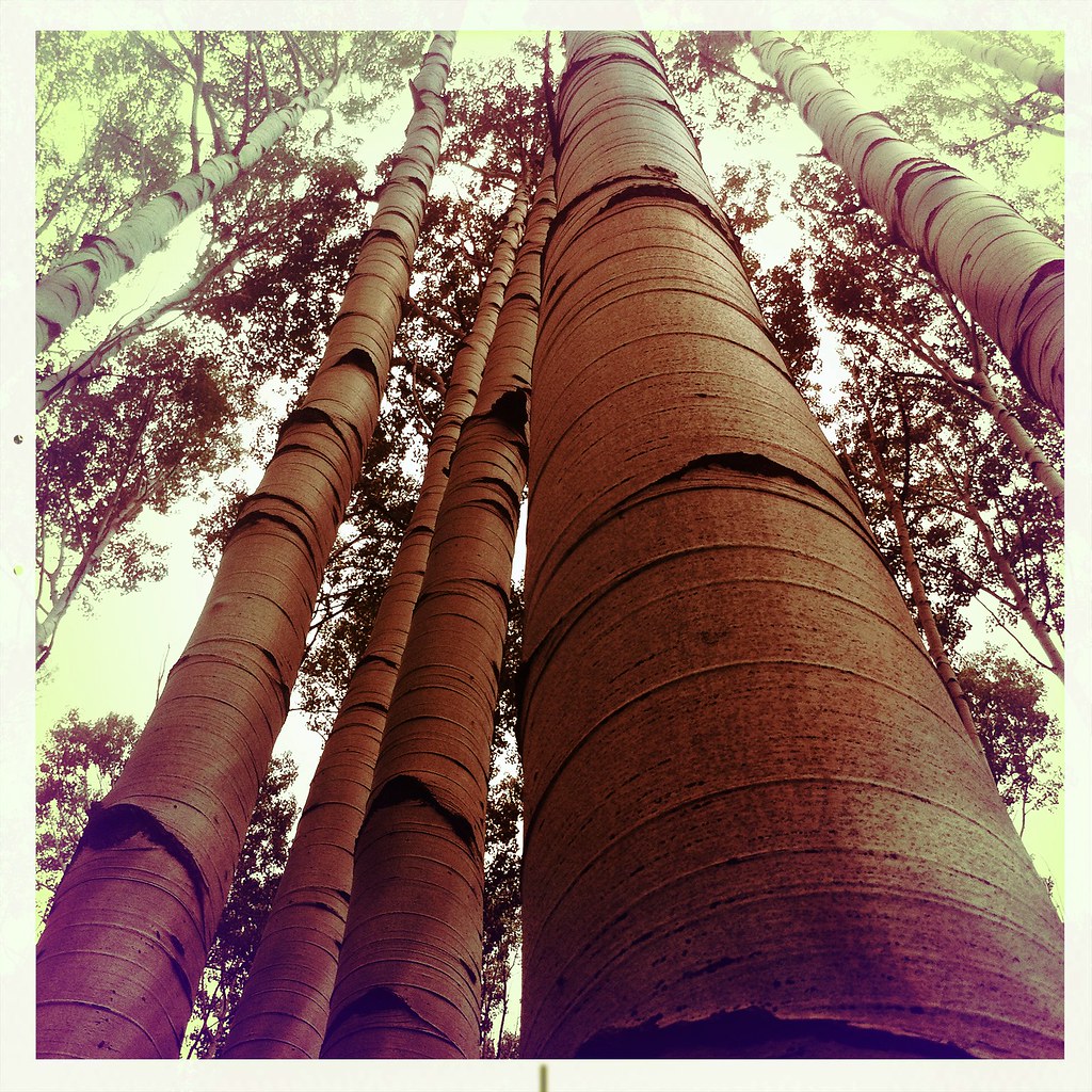 Mcclure Pass X-C SkiHikingPhoto: denverkid, CC BY 2.0 (via Flickr)0.2 mi
- PlacitaHiking1.2 mi
- McClure CampgroundCamping1.8 mi
- Bogan Flats CampgroundCamping2.5 mi
- River WallRock climbing4.2 mi
- 345 BoulderRock climbing4.2 mi
- East Muddy CreekCanoeing6.7 mi
- Crystal RiverCanoeing6.8 mi
Source: Roamze catalog (indexable pages within 10 miles, PostGIS distance)
- Mcclure Pass X-C SkiHiking · Next doorPhoto: denverkid, CC BY 2.0 (via Flickr)
 North LostHiking · ~14 min drivePhoto: snowpeak, CC BY 2.0 (via Flickr)
 Capitol CreekHiking · ~18 min drivePhoto: lamblukas, CC BY 2.0 (via Flickr)
 Hagerman PeakHiking · ~19 min drivePhoto: The Greater Southwestern Exploration Company from Long Beach, California, United States, CC BY 2.0 (via Wikimedia Commons)
 Williams LakeHiking · ~19 min drivePhoto: lamblukas, CC BY 2.0 (via Flickr)
 Capitol Peak RouteHiking · ~19 min drivePhoto: lamblukas, CC BY 2.0 (via Flickr)
 North Fork Crystal RiverHiking · ~19 min drivePhoto: GSEC, CC BY 2.0 (via Flickr)
- Yule PassHiking · ~15 min drive
- RaggedsHiking · ~12 min drive
- PlacitaHiking · ~2 min drive
Best time to visit HUNTSMAN RIDGE
Best months: June–September. Best months have typical highs of 55–85 °F, lows of 30 °F or warmer (32 °F where the station doesn't record snow), at most one snowy day and no more than 12 wet days.
Jan
26° / 6°
Feb
27° / 4°
Mar
34° / 12°
Apr
40° / 17°
May
49° / 27°
Jun
62° / 37°
Jul
68° / 42°
Aug
64° / 40°
Sep
57° / 34°
Oct
45° / 24°
Nov
34° / 14°
Dec
26° / 5°
Typical high / low (°F) and days with rain or snow, 1991–2020. Measured at Bonham Rsvr, CO, 33.3 mi away at 9,852 ft. The station sits about 500 ft lower than this place, so expect it a little cooler here. This station doesn't record snowfall. Source: NOAA NCEI U.S. Climate Normals 1991–2020.
Closures we've recorded since August 2026
CO 133: McClure Pass closed
closed Sep 14, 2026 → reopened Sep 14, 2026 · State DOT

