Treasury Mountain
 Photo: The Greater Southwestern Exploration Company from Long Beach, California, United States, CC BY 2.0 (via Wikimedia Commons)
- 10.1 mi
- round trip
- 4,574 ft
- climb
- 13,386 ft
- high point
- Out and back
- route
Is Treasury Mountain open right now?
Alert in the area
The Forest Service lists 6 alerts for White River National Forest.
FSR 286, Radical Hill, is closed due to washouts and unsafe conditions
Agency alert covering White River National Forest · USFS · White River National Forest
Limited parking at Snowmass Creek Trailhead
Agency alert covering White River National Forest · USFS · White River National Forest
Grizzly Creek Trail Closure
Agency alert covering White River National Forest · Order 2026-02 · USFS · White River National Forest
Ruedi Marina Day Use area Dump Station is CLOSED
Agency alert covering White River National Forest · USFS · White River National Forest
Asbestos safety closure - Camp Hale
Agency alert covering White River National Forest · USFS · White River National Forest
As of · Source: USFS · White River National Forest. Agencies don't list every closure — check before you go.
Treasury Mountain is a 13,386-foot peak in Colorado's White River National Forest, within the Sopris Ranger District. The Forest Service manages the land, and the route begins at Schofield Park Parking. It is a round trip of about 10 miles with roughly 4,574 feet of climbing, making it a long and steep outing. The mapped trail ends about 0.4 miles and 1,286 feet short of the summit. The final stretch is off-trail and has no mapped path, so route-finding is needed to reach the top. For a shorter outing, Trail Riders and Hasley Basin Trail are both about 2 miles away. GC 15 and GC 14 campgrounds sit about 2.3 miles off.
Go with a guide
- Mineral Belt Trail Guided WalkNexPM AI · $25 per person · 44 mi away
- Maroon Bells Guide and Outfitters13 mi away
Conditions and forecast on Treasury Mountain
Daily highs and lows, wind and the chance of precipitation at the summit and route start for the next 7 days, from the Open-Meteo model.
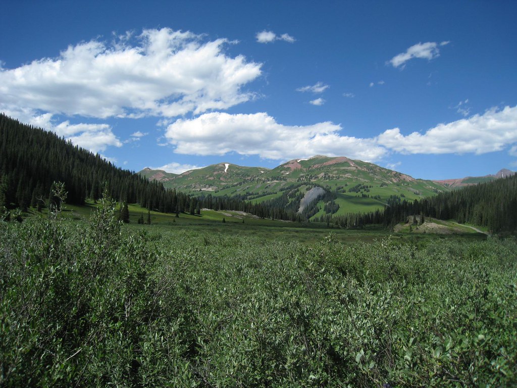 Trail RidersHikingPhoto: GSEC, CC BY 2.0 (via Flickr)2 mi
- Hasley Basin TrailHiking2.2 mi
- GC 15Camping2.3 mi
- GC 14Camping2.3 mi
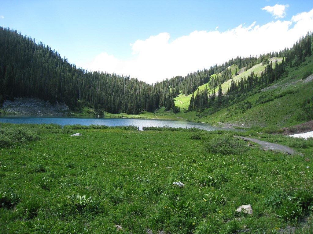 Schofield TrailHikingPhoto: GSEC, CC BY 2.0 (via Flickr)2.4 mi
- Crested ButteRock climbing5 mi
- Crystal RiverCanoeing6.5 mi
- Maroon Lake ScenicLake fishing7.9 mi
Source: Roamze catalog (indexable pages within 10 miles, PostGIS distance)
- Trail RidersHiking · ~3 min drivePhoto: GSEC, CC BY 2.0 (via Flickr)
- Schofield TrailHiking · ~4 min drivePhoto: GSEC, CC BY 2.0 (via Flickr)
- Hagerman PeakHiking · ~5 min drivePhoto: The Greater Southwestern Exploration Company from Long Beach, California, United States, CC BY 2.0 (via Wikimedia Commons)
 Trail near Maroon PeakHiking · ~9 min drivePhoto: KimonBerlin, CC BY-SA 2.0 (via Wikimedia Commons)
 North Fork Crystal RiverHiking · ~5 min drivePhoto: GSEC, CC BY 2.0 (via Flickr)
 Yule PassHiking · ~6 min drivePhoto: GSEC, CC BY 2.0 (via Flickr)
 Precarious PeakHiking · ~8 min drivePhoto: Jeffrey Pang from Berkeley, CA, USA, CC BY 2.0 (via Wikimedia Commons)
- Trail near Pyramid PeakHiking · ~11 min drivePhoto: KimonBerlin, CC BY-SA 2.0 (via Wikimedia Commons)
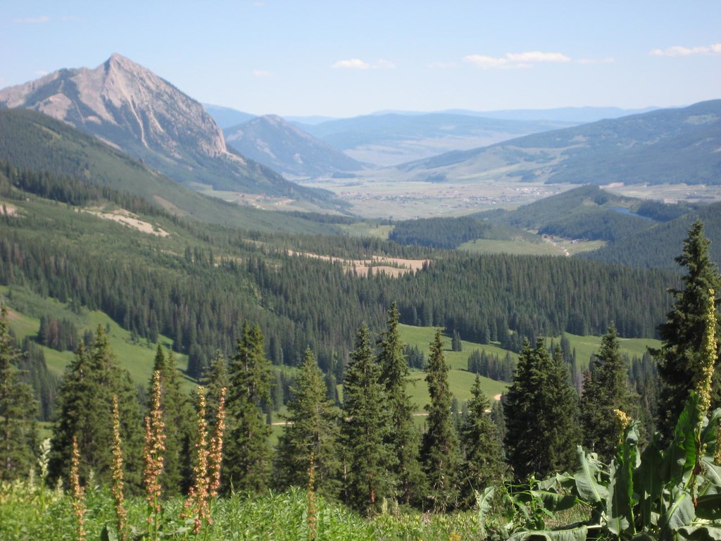 Washington GulchHiking · ~9 min drivePhoto: GSEC, CC BY 2.0 (via Flickr)
 North LostHiking · ~9 min drivePhoto: snowpeak, CC BY 2.0 (via Flickr)
Also worth it near here
 Campsites GC 13Camping · ~6 min drivePhoto: James St. John, CC BY 2.0 (via Wikimedia Commons)
- Yule LakesLake fishing · ~6 min drive
 Purple MountainSummit · ~7 min drivePhoto: Jonathan Fox, CC BY-SA 2.0 (via Wikimedia Commons)
- Washington Gulch TrailCross-country skiing · ~9 min drivePhoto: Jeffrey Pang from Berkeley, CA, USA, CC BY 2.0 (via Wikimedia Commons)
Route details
- Distance
- 10.1 mi round trip
- Climbing
- About 4,574 ft
- Starts at
- Schofield Park Parking
- Summit
- 13,458 ft
- Difficulty
- Expert
Questions about this route
How long is the Treasury Mountain on Treasury Mountain?
About 10.1 mi round trip from Schofield Park Parking.
How much elevation gain is on the Treasury Mountain?
About 4,574 ft of climbing round trip.
How hard is the Treasury Mountain?
It is rated expert.
Where does the Treasury Mountain start?
Schofield Park Parking.
© openrouteservice.org by HeiGIT | Map data © OpenStreetMap contributors
