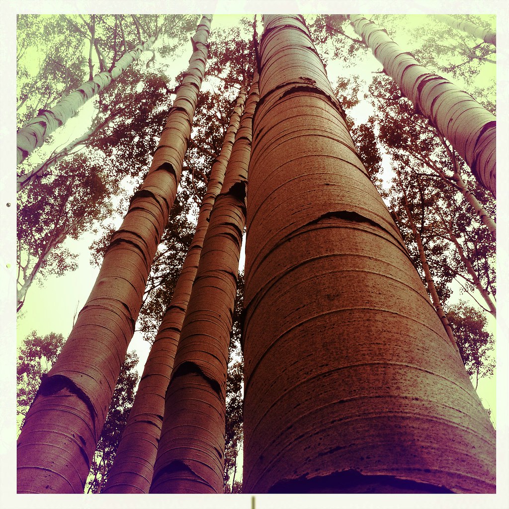
Chair Mountain
 Photo: Hogs555, CC BY-SA 3.0 (via Wikimedia Commons)
- 12,743 ft
- summit
- Forest Service
- managed by
Is Chair Mountain open right now?
Alert in the area
The Forest Service lists 6 alerts for White River National Forest.
FSR 286, Radical Hill, is closed due to washouts and unsafe conditions
Agency alert covering White River National Forest · USFS · White River National Forest
Limited parking at Snowmass Creek Trailhead
Agency alert covering White River National Forest · USFS · White River National Forest
Grizzly Creek Trail Closure
Agency alert covering White River National Forest · Order 2026-02 · USFS · White River National Forest
Ruedi Marina Day Use area Dump Station is CLOSED
Agency alert covering White River National Forest · USFS · White River National Forest
Asbestos safety closure - Camp Hale
Agency alert covering White River National Forest · USFS · White River National Forest
As of · Source: USFS · White River National Forest. Agencies don't list every closure — check before you go.
Chair Mountain is a summit of about 12,743 feet in Gunnison County, Colorado, inside the Raggeds Wilderness. The surrounding land is part of the White River National Forest, managed by the Forest Service, and the nearest town is Marble, about 5 miles away. The closest places to plan around are Bogan Flats Group Campground and the Raggeds Tie-In Trail 823, both about 3 miles away. The Crystal River, a canoeing spot, is about 5.5 miles off, and the River Wall climbing area is about 9 miles away.
Conditions and forecast
Daily highs and lows, wind and the chance of precipitation at the summit for the next 7 days, from the Open-Meteo model.
- Summit elevation
- 12,743 ft
- Land manager
- Forest Service
Elevation from USGS 3D Elevation Program terrain data (about 10 m resolution).
We don't know of a mapped trail or route to the summit of Chair Mountain. Plan the approach with local maps, a guidebook or a local guide, and check conditions before you go.
Questions about Chair Mountain
How tall is Chair Mountain?
12,743 ft (3,884 m).
Is there a trail to the top of Chair Mountain?
We don't know of a mapped trail or route to the summit. Plan the approach with local maps, a guidebook or a local guide.
- Treasury Mountain13,458 ft · Colorado1 route10 mi away
- Raven Mesa8,292 ft · Colorado1 route12 mi away
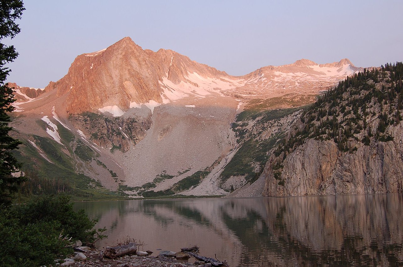 Snowmass Mountain14,090 ft · Colorado1 route12 mi awayPhoto: Nelsestu at English Wikipedia, Public domain (via Wikimedia Commons)
 Capitol Peak14,121 ft · Colorado1 route12 mi awayPhoto: Xpda, CC BY 3.0 (via Wikimedia Commons)
- Hagerman Peak13,830 ft · Colorado1 route12 mi awayPhoto: Nelsestu at English Wikipedia, Public domain (via Wikimedia Commons)
- Clark Peak13,564 ft · Colorado1 route14 mi away
- Bogan Flats Group CampgroundCamping2.8 mi
- Raggeds Tie-In Trail 823Hiking2.9 mi
- Raggeds Trail 820Hiking2.9 mi
- Bogan Flats CampgroundCamping3.1 mi
- Crystal RiverCanoeing5.5 mi
- East Muddy CreekCanoeing5.6 mi
- River WallRock climbing9.2 mi
- 345 BoulderRock climbing9.2 mi
Source: Roamze catalog (indexable pages within 10 miles, PostGIS distance)
 Marcellina MountainSummit · ~16 min drivePhoto: John Sowell, CC BY-SA 4.0 (via Wikimedia Commons)
 Purple MountainSummit · ~18 min drivePhoto: Jonathan Fox, CC BY-SA 2.0 (via Wikimedia Commons)
- Capitol PeakSummit · ~21 min drivePhoto: Xpda, CC BY 3.0 (via Wikimedia Commons)
- Hagerman PeakSummit · ~21 min drivePhoto: Nelsestu at English Wikipedia, Public domain (via Wikimedia Commons)
 Afley PeakSummit · ~22 min drivePhoto: Scott Krankkala, CC BY 2.0 (via Wikimedia Commons)
 Purple PeakSummit · ~23 min drivePhoto: Scott Krankkala, CC BY 2.0 (via Wikimedia Commons)
 Mount OwenSummit · ~23 min drivePhoto: John Sowell, CC BY-SA 4.0 (via Wikimedia Commons)
 West Beckwith MountainSummit · ~23 min drivePhoto: John Sowell, CC BY-SA 4.0 (via Wikimedia Commons)
 Mount DalySummit · ~24 min drivePhoto: lamblukas, CC BY 2.0 (via Wikimedia Commons)
 East Beckwith MountainSummit · ~26 min drivePhoto: GregJoeson, CC BY-SA 4.0 (via Wikimedia Commons)