Yule Pass
- 10.8 mi
- round trip
- 2,604 ft
- climb
- 11,704 ft
- high point
- Out and back
- route
Is Yule Pass open right now?
Alert in the area
The Forest Service lists 6 alerts for White River National Forest.
FSR 286, Radical Hill, is closed due to washouts and unsafe conditions
Agency alert covering White River National Forest · USFS · White River National Forest
Limited parking at Snowmass Creek Trailhead
Agency alert covering White River National Forest · USFS · White River National Forest
Grizzly Creek Trail Closure
Agency alert covering White River National Forest · Order 2026-02 · USFS · White River National Forest
Ruedi Marina Day Use area Dump Station is CLOSED
Agency alert covering White River National Forest · USFS · White River National Forest
Asbestos safety closure - Camp Hale
Agency alert covering White River National Forest · USFS · White River National Forest
As of · Source: USFS · White River National Forest. Agencies don't list every closure — check before you go.
Yule Pass is an out-and-back hike in Colorado's White River National Forest, within the Sopris Ranger District. The trail is 10.8 miles long, with a one-way elevation gain of 2,604 feet, and it rises from a low point of 8,991 feet to a high point of 11,704 feet. The Forest Service manages the land, and the trail is rated expert. The route is natural-surface and allows horses, but not bikes. The parking area is named Yule Creek/Pass, and the trail is open year-round. For a longer outing, Raspberry Creek Trail lies about 1.5 miles away and Anthracite Pass about 1.7 miles. Marble RV Park and Campground is about 2.5 miles off, and the Crystal River, a canoeing spot, is about 2.3 miles away.
Go with a guide
- Mineral Belt Trail Guided WalkNexPM AI · $25 per person · 50 mi away
- Maroon Bells Guide and Outfitters18 mi away
- Raspberry Creek TrailHiking1.5 mi
- Anthracite PassHiking1.7 mi
- Crystal RiverCanoeing2.3 mi
- Marble RV Park and CampgroundCamping2.5 mi
- Bogan Flats Group CampgroundCamping6 mi
- Anthracite CreekCanoeing8.4 mi
- Crested ButteRock climbing9.4 mi
- Carbondale AreaRock climbing9.9 mi
Source: Roamze catalog (indexable pages within 10 miles, PostGIS distance)
 North LostHiking · ~5 min drivePhoto: snowpeak, CC BY 2.0 (via Flickr)
 Hagerman PeakHiking · ~9 min drivePhoto: The Greater Southwestern Exploration Company from Long Beach, California, United States, CC BY 2.0 (via Wikimedia Commons)
 North Fork Crystal RiverHiking · ~10 min drivePhoto: GSEC, CC BY 2.0 (via Flickr)
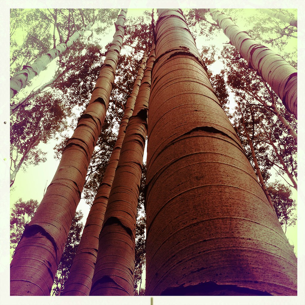 Mcclure Pass X-C SkiHiking · ~15 min drivePhoto: denverkid, CC BY 2.0 (via Flickr)
 Yule PassHiking · ~11 min drivePhoto: GSEC, CC BY 2.0 (via Flickr)
- Treasury MountainHiking · ~10 min drivePhoto: The Greater Southwestern Exploration Company from Long Beach, California, United States, CC BY 2.0 (via Wikimedia Commons)
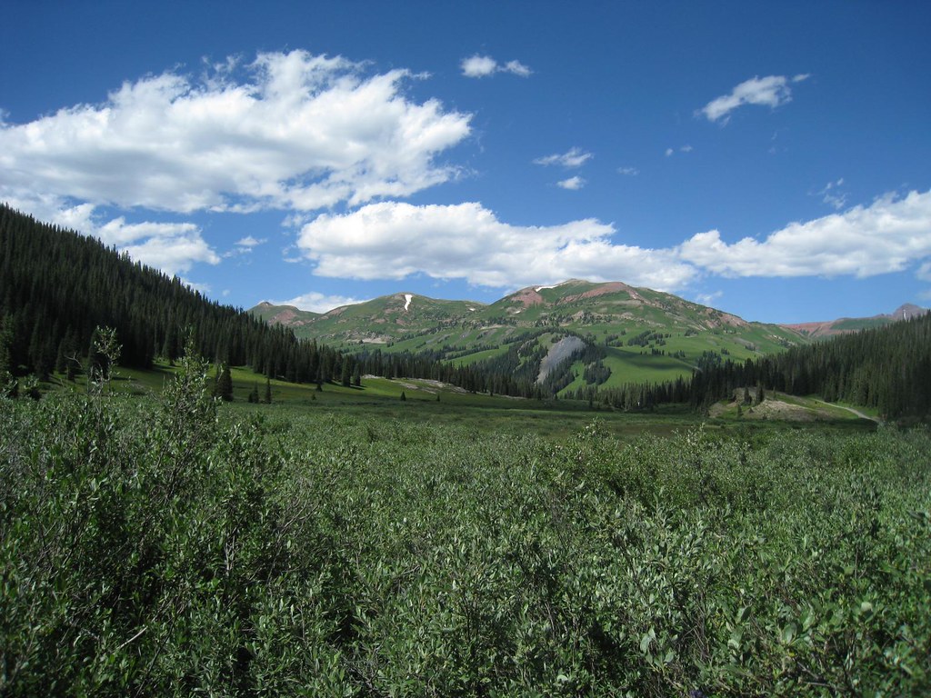 Trail RidersHiking · ~12 min drivePhoto: GSEC, CC BY 2.0 (via Flickr)
 Daisy Pass Blue LakeHiking · ~15 min drivePhoto: Kyle Watson Photography, CC BY-SA 2.0 (via Flickr)
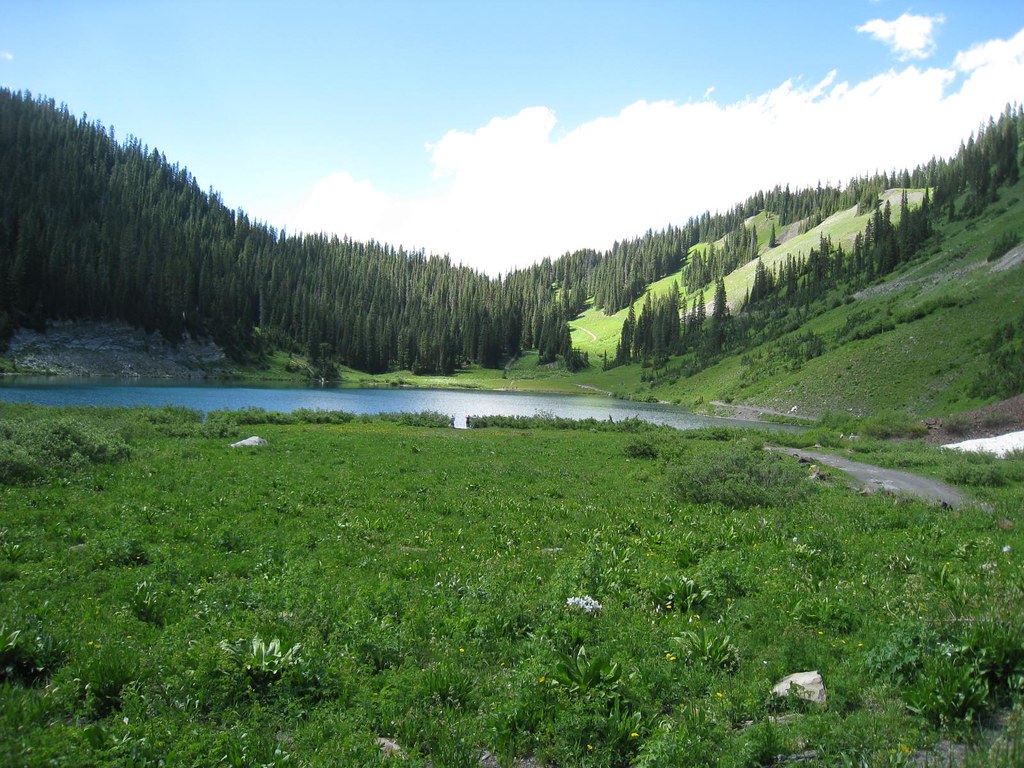 Schofield TrailHiking · ~13 min drivePhoto: GSEC, CC BY 2.0 (via Flickr)
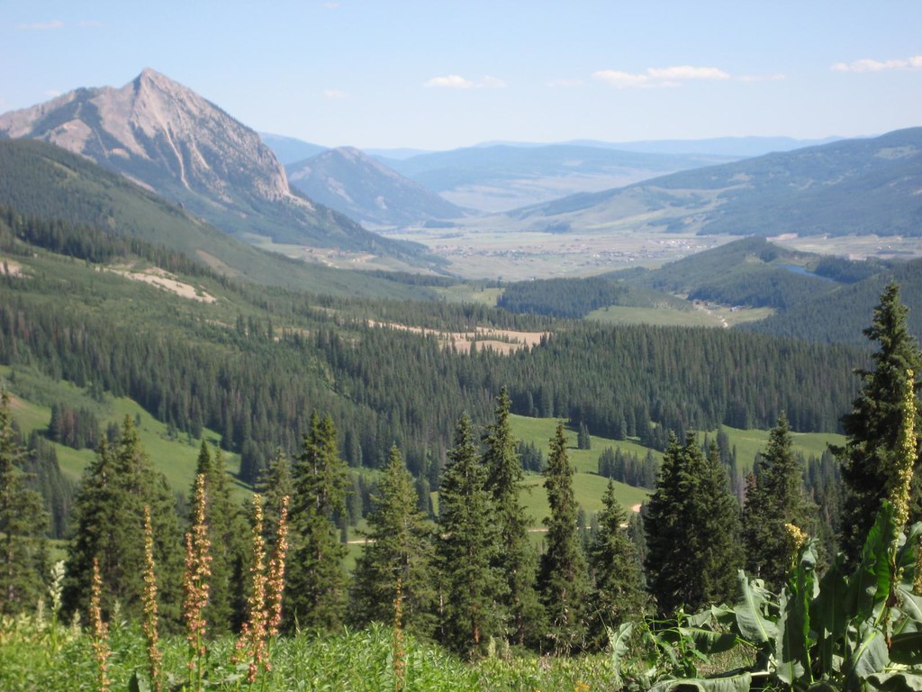 Washington GulchHiking · ~14 min drivePhoto: GSEC, CC BY 2.0 (via Flickr)


