Ouray RV park
Campground
Campground · 0.5 mi from the trail
Closure in the area
There's a closure order in Grand Mesa, Uncompahgre and Gunnison National Forests. It doesn't name Oak Creek Trail, so check the source for the area it covers (2 listed).
Gold Mountain Wildfire Roads and Trails Closure Order v 4.0
Agency closure covering Grand Mesa, Uncompahgre and Gunnison National Forests · USFS · Grand Mesa, Uncompahgre and Gunnison National Forests
Ophir Pass Road Closure
Agency closure covering Grand Mesa, Uncompahgre and Gunnison National Forests · USFS · Grand Mesa, Uncompahgre and Gunnison National Forests
Potter Basin Road Closure Order
Agency alert covering Grand Mesa, Uncompahgre and Gunnison National Forests · USFS · Grand Mesa, Uncompahgre and Gunnison National Forests
Beaver Park Road Closure Order
Agency alert covering Grand Mesa, Uncompahgre and Gunnison National Forests · USFS · Grand Mesa, Uncompahgre and Gunnison National Forests
TERMINATION OF ORDER - FIRE RESTRICTIONS
Agency alert covering Grand Mesa, Uncompahgre and Gunnison National Forests · USFS · Grand Mesa, Uncompahgre and Gunnison National Forests
As of · Source: USFS · Grand Mesa, Uncompahgre and Gunnison National Forests. Agencies don't list every closure — check before you go.
Oak Creek Trail is a 6.5-mile loop located in Colorado near Ouray, managed by the USFS Ouray Ranger District. This route offers hikers a moderate full-loop experience in the San Juan Mountains region. The trail traverses through diverse terrain typical of the area, providing access to the natural landscape surrounding Ouray. The loop format allows hikers to experience a variety of scenery without retracing their steps, making it an efficient use of time for a full day outing. The 6.5-mile distance accommodates hikers seeking a substantial but manageable hike. The trail is maintained by the Ouray Ranger District, part of the USFS network managing public lands in southwestern Colorado. This area near Ouray is known for its scenic mountain terrain and access to numerous outdoor recreation opportunities. The trail serves as a good option for those exploring the Ouray region and seeking to experience the local landscape. For current conditions, trail updates, or specific details about terrain features and difficulty, contact the Ouray Ranger District directly.
Ouray RV park
Campground
Smuggler Union Tramhouse
Attraction
Places © OpenStreetMap contributors, Places © Overture Maps Foundation
More in TellurideNot on Roamze yet. Their page has how to reach them.
 East Fork Dallas CreekCanoeingPhoto: Boyd Norton, Public domain (via Wikimedia Commons)7.2 mi
Source: Roamze catalog (indexable pages within 10 miles, PostGIS distance)
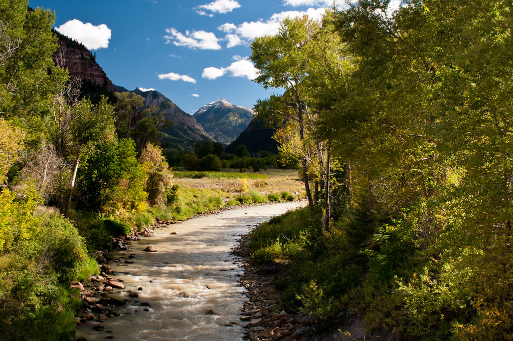 CorbettHiking · ~1 min drivePhoto: flamouroux, CC BY-SA 2.0 (via Flickr)
 Lower Cascade Falls TrailHiking · ~3 min drivePhoto: lamblukas, CC BY 2.0 (via Flickr)
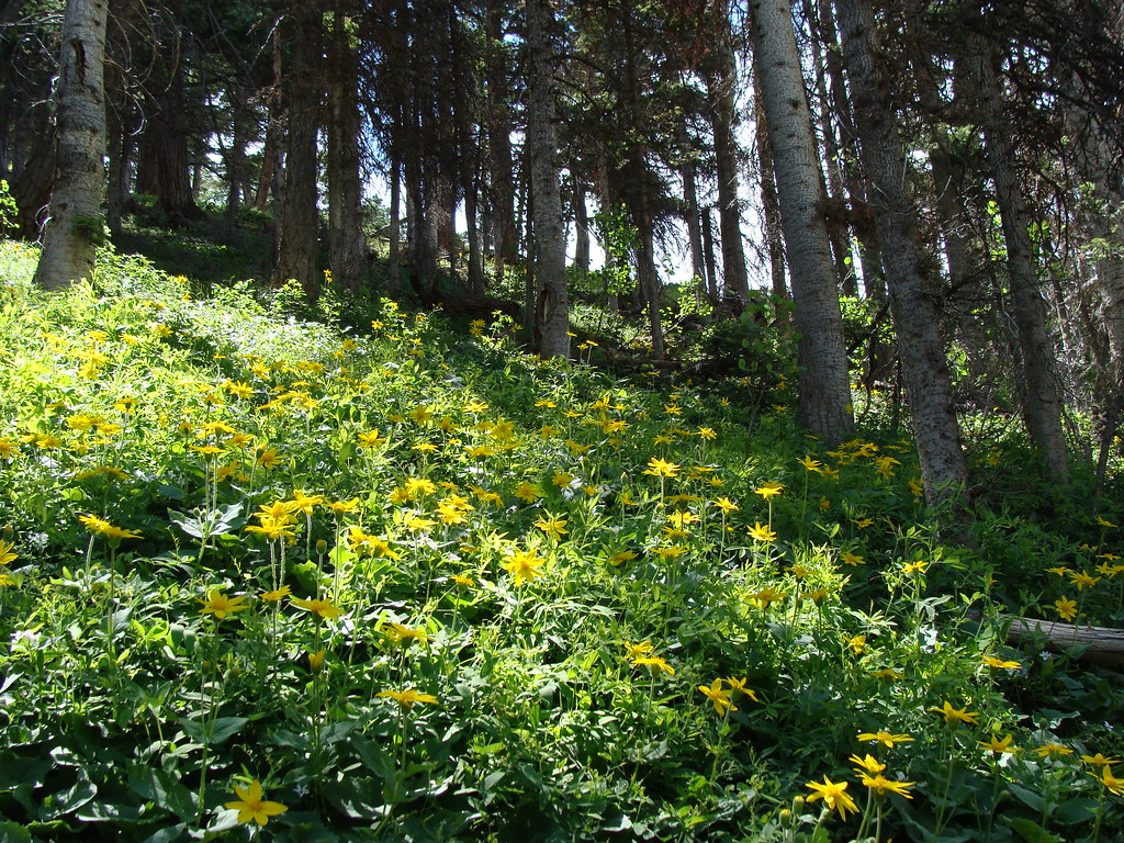 Horsethief TrialHiking · ~3 min drivePhoto: iagoarchangel, CC BY-SA 2.0 (via Flickr)
 Wildhorse PeakHiking · ~5 min drivePhoto: Jacob Montgomery, CC BY-SA 3.0 (via Wikimedia Commons)
 Sutton - NeoshoHiking · ~3 min drivePhoto: Greg Willis from Denver, CO, usa, CC BY-SA 2.0 (via Wikimedia Commons)
 Dexter CreekHiking · ~4 min drivePhoto: iagoarchangel, CC BY-SA 2.0 (via Flickr)
 Mount SneffelsHiking · ~9 min drivePhoto: QKC, CC BY-SA 3.0 (via Wikimedia Commons)
 Mount EmmaHiking · ~10 min drivePhoto: QKC, CC BY-SA 3.0 (via Wikimedia Commons)Ouray Perimeter TrailHiking · ~3 min drivePhoto: Greg Willis from Denver, CO, usa, CC BY-SA 2.0 (via Wikimedia Commons)
Also worth it near here
 Uncompahgre River WalkCross-country skiing · Next doorPhoto: Ken Lund from Reno, Nevada, USA, CC BY-SA 2.0 (via Wikimedia Commons)
 Twin PeaksSummit · ~2 min drivePhoto: Person-with-No Name, CC BY 2.0 (via Wikimedia Commons)
 Ouray (Ice/Mixed)Rock climbing · ~2 min drivePhoto: Sale Family Memories, CC BY 2.0 (via Flickr)
No month here meets our mild-weather rule. Best months have typical highs of 55–85 °F, lows of 30 °F or warmer (32 °F where the station doesn't record snow), at most one snowy day and no more than 12 wet days.
Jan
34° / -6°
9 wet
Feb
36° / -3°
9 wet
Mar
43° / 6°
10 wet
Apr
48° / 17°
9 wet
May
58° / 25°
9 wet
Jun
70° / 31°
7 wet
Jul
75° / 38°
13 wet
Aug
72° / 37°
15 wet
Sep
66° / 30°
12 wet
Oct
55° / 20°
9 wet
Nov
43° / 7°
8 wet
Dec
34° / -5°
9 wet
Typical high / low (°F) and days with rain or snow, 1991–2020. Measured at Silverton, CO, 16 mi away at 9,285 ft. The station sits about 1,500 ft lower than this place, so expect it a little cooler here. This station doesn't record snowfall. Source: NOAA NCEI U.S. Climate Normals 1991–2020.
Map and trail data © OpenStreetMap contributors
