Four J Campground
Campground
Campground · 0.7 mi from the trail
 Photo: Greg Willis from Denver, CO, usa, CC BY-SA 2.0 (via Wikimedia Commons)
Closure in the area
There's a closure order in Grand Mesa, Uncompahgre and Gunnison National Forests. It doesn't name Ouray Perimeter Trail, so check the source for the area it covers (2 listed).
Gold Mountain Wildfire Roads and Trails Closure Order v 4.0
Agency closure covering Grand Mesa, Uncompahgre and Gunnison National Forests · USFS · Grand Mesa, Uncompahgre and Gunnison National Forests
Ophir Pass Road Closure
Agency closure covering Grand Mesa, Uncompahgre and Gunnison National Forests · USFS · Grand Mesa, Uncompahgre and Gunnison National Forests
TERMINATION OF ORDER - FIRE RESTRICTIONS
Agency alert covering Grand Mesa, Uncompahgre and Gunnison National Forests · USFS · Grand Mesa, Uncompahgre and Gunnison National Forests
Dallas Area Closure order
Agency alert covering Grand Mesa, Uncompahgre and Gunnison National Forests · USFS · Grand Mesa, Uncompahgre and Gunnison National Forests
Island Lake Road Closure
Agency alert covering Grand Mesa, Uncompahgre and Gunnison National Forests · USFS · Grand Mesa, Uncompahgre and Gunnison National Forests
As of · Source: USFS · Grand Mesa, Uncompahgre and Gunnison National Forests. Agencies don't list every closure — check before you go.
The Ouray Perimeter Trail is a 5.8-mile out-and-back route located in Colorado near Ouray. Managed by Ouray County, this trail offers hikers a scenic loop around the perimeter of the town and surrounding area. The trail traverses through the diverse terrain characteristic of the Ouray region, providing views of the San Juan Mountains and the surrounding landscape. As an out-and-back route, hikers will retrace their steps after reaching the turnaround point, making it easy to customize distance by turning back at any point along the way. The Ouray Perimeter Trail is accessible from the town of Ouray and serves as a popular option for both day hikers and those seeking moderate exercise in the area. The trail's out-and-back format makes it suitable for hikers of varying experience levels, as participants can adjust their total distance based on fitness level and time constraints. For current trail conditions and specific access points, contact Ouray County or check local resources before heading out. This trail provides a solid option for experiencing the natural beauty surrounding the mountain town of Ouray.
Four J Campground
Campground
Red Mountain Brewing
Restaurant
Smuggler Union Tramhouse
Attraction
Places © OpenStreetMap contributors
More in TellurideNot on Roamze yet. Their page has how to reach them.
Best months: June–July and September. Best months have typical highs of 55–85 °F, lows of 30 °F or warmer (32 °F where the station doesn't record snow), at most one snowy day and no more than 12 wet days.
Jan
34° / 15°
8 wet · 7 snow
Feb
36° / 19°
8 wet · 7 snow
Mar
44° / 25°
9 wet · 8 snow
Apr
52° / 31°
9 wet · 6 snow
May
63° / 39°
7 wet · 2 snow
Jun
74° / 47°
6 wet
Jul
79° / 53°
10 wet
Aug
75° / 51°
14 wet
Sep
69° / 45°
11 wet
Oct
57° / 34°
8 wet · 3 snow
Nov
44° / 24°
8 wet · 6 snow
Dec
35° / 16°
8 wet · 7 snow
Typical high / low (°F) and days with rain or snow, 1991–2020. Measured at Ouray, CO, 0.5 mi away at 7,840 ft. The station sits about 600 ft lower than this place, so expect it a little cooler here. Source: NOAA NCEI U.S. Climate Normals 1991–2020.
 Photo: lamblukas, CC BY 2.0 (via Flickr)
Lower Cascade Falls Trail
~1 min drive
A moderate 1.66-mile out-and-back trail in Colorado for hikers of intermediate ability.
Photo: lamblukas, CC BY 2.0 (via Flickr)Upper Cascade Falls Trail
~2 min drive
3.0 mi · Moderate
 Photo: Jacob Montgomery, CC BY-SA 3.0 (via Wikimedia Commons)
Wildhorse Peak
~2 min drive
Route to the summit of Wildhorse Peak (13,245 ft) from Bear Creek.
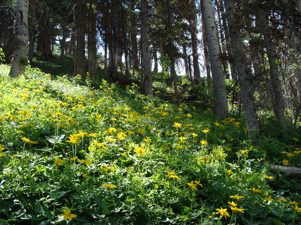 Photo: iagoarchangel, CC BY-SA 2.0 (via Flickr)
Horsethief Trial
~5 min drive
28 mi · Hard
 Photo: iagoarchangel, CC BY-SA 2.0 (via Flickr)
Dexter Creek
~6 min drive
2.96-mile out-and-back trail in Colorado managed by Grand Mesa, Uncompahgre and Gunnison National Forests.
 Photo: Luis in Denver, CC BY 2.0 (via Flickr)
Portland Trail
~2 min drive
3.0 mi · Moderate
Photo: iagoarchangel, CC BY-SA 2.0 (via Flickr)Dexter Creek Trail
~6 min drive
9.0 mi · Expert
 Photo: Greg Willis from Denver, CO, usa, CC BY-SA 2.0 (via Wikimedia Commons)
Richmond
~8 min drive
7.20-mile out-and-back trail in Colorado with 1,160 ft elevation gain.
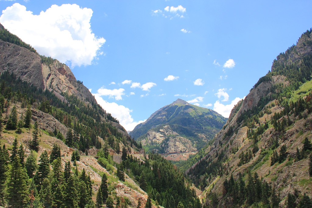 Photo: daveynin, CC BY 2.0 (via Flickr)
Beaver/Belfast Mine Trail
~9 min drive
0.96-mile out-and-back hike in Colorado with 765 ft gain and 10,005 ft max elevation
 Photo: Sandy Horvath-Dori from Grand Junction, CO, USA, CC BY 2.0 (via Wikimedia Commons)
Mears
~7 min drive
3.47-mile out-and-back trail in Colorado with 108 ft gain and 9,725 ft max elevation.
Map and trail data © OpenStreetMap contributors

