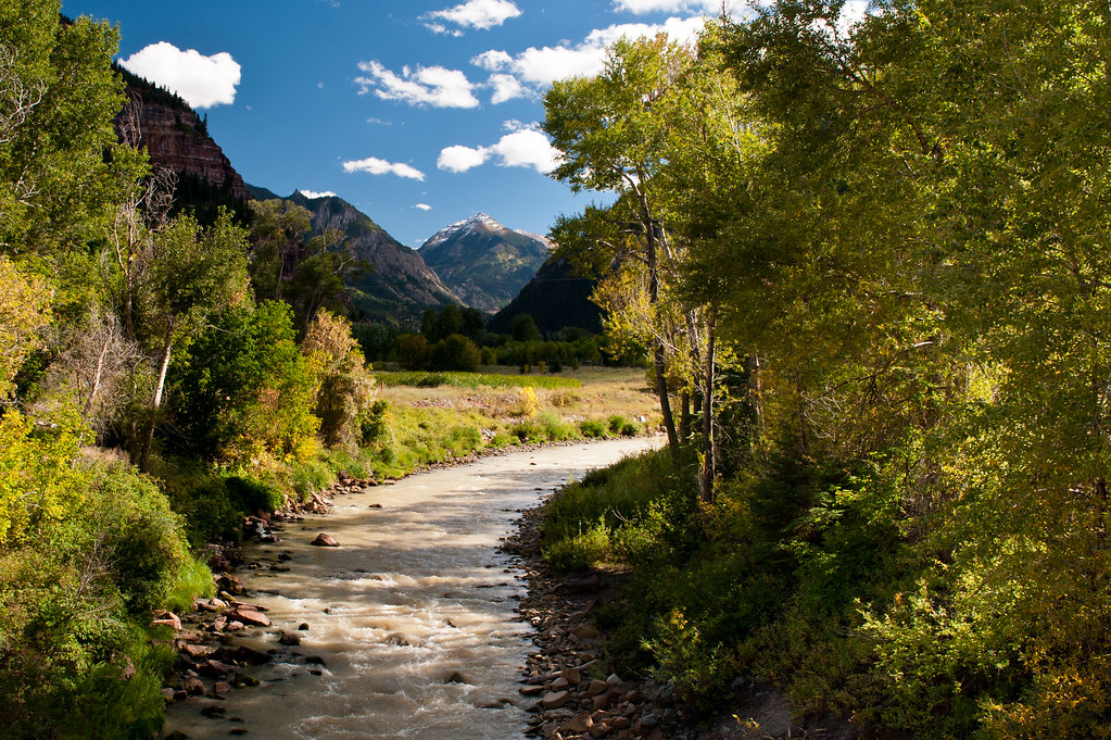
Ouray RV park
Campground
Campground · 0.3 mi from the trail
 Photo: Ken Lund from Reno, Nevada, USA, CC BY-SA 2.0 (via Wikimedia Commons)
Closure in the area
There's a closure order in Grand Mesa, Uncompahgre and Gunnison National Forests. It doesn't name Uncompahgre River Walk, so check the source for the area it covers (2 listed).
Gold Mountain Wildfire Roads and Trails Closure Order v 4.0
Agency closure covering Grand Mesa, Uncompahgre and Gunnison National Forests · USFS · Grand Mesa, Uncompahgre and Gunnison National Forests
Ophir Pass Road Closure
Agency closure covering Grand Mesa, Uncompahgre and Gunnison National Forests · USFS · Grand Mesa, Uncompahgre and Gunnison National Forests
TERMINATION OF ORDER - FIRE RESTRICTIONS
Agency alert covering Grand Mesa, Uncompahgre and Gunnison National Forests · USFS · Grand Mesa, Uncompahgre and Gunnison National Forests
Dallas Area Closure order
Agency alert covering Grand Mesa, Uncompahgre and Gunnison National Forests · USFS · Grand Mesa, Uncompahgre and Gunnison National Forests
Island Lake Road Closure
Agency alert covering Grand Mesa, Uncompahgre and Gunnison National Forests · USFS · Grand Mesa, Uncompahgre and Gunnison National Forests
As of · Source: USFS · Grand Mesa, Uncompahgre and Gunnison National Forests. Agencies don't list every closure — check before you go.
The Uncompahgre River Walk is an easy cross-country ski route of about 1.3 miles in the Ouray Ranger District of the Grand Mesa, Uncompahgre and Gunnison National Forests in Colorado. The trail starts at roughly 7,615 feet and reaches a high of about 7,659 feet, with a total gain of 52 feet and a loss of about 150 feet over the course. The steepest stretch, a 4% grade, comes within the first 0.07 miles. Summer is the most comfortable time to visit. Typical averages from the nearby Ouray #2 weather station run to highs around 80°F in July and 71°F in September, while winter brings January highs near 36°F and lows around 16°F. The walk sits within easy reach of other outings. Ouray Rotary Park-Rink Wall is about 0.2 miles away, Silvershield Trail and Ouray RV park are each about 0.3 miles off, and Four J Campground is about 1.3 miles away.
Ouray RV park
Campground
Smuggler Union Tramhouse
Attraction
Places © OpenStreetMap contributors
More in TellurideNot on Roamze yet. Their page has how to reach them.
Best months: May–June and September–October. Best months have typical highs of 55–85 °F, lows of 30 °F or warmer (32 °F where the station doesn't record snow), at most one snowy day and no more than 12 wet days.
Jan
36° / 16°
11 wet
Feb
41° / 18°
11 wet
Mar
47° / 25°
12 wet
Apr
54° / 30°
12 wet
May
64° / 38°
10 wet
Jun
76° / 47°
8 wet
Jul
80° / 52°
15 wet
Aug
77° / 51°
15 wet
Sep
71° / 45°
11 wet
Oct
58° / 34°
10 wet
Nov
46° / 24°
8 wet
Dec
36° / 17°
11 wet
Typical high / low (°F) and days with rain or snow, 1991–2020. Measured at Ouray #2, CO, 1.3 mi away at 7,718 ft. This station doesn't record snowfall. Source: NOAA NCEI U.S. Climate Normals 1991–2020.
 Photo: Sandy Horvath-Dori from Grand Junction, CO, USA, CC BY 2.0 (via Wikimedia Commons)
Iron Fen
~12 min drive
0.43-mile ski trail in Colorado with 117 ft of elevation gain.
 Photo: Jeffrey Beall, CC BY 4.0 (via Wikimedia Commons)
Parking Access Trail
~13 min drive
0.45-mile trail in Colorado with 23 ft of elevation gain.
 Photo: Zach Dischner, CC BY 2.0 (via Wikimedia Commons)
Silverton Mountain
~20 min drive
Silverton Mountain in Colorado has 1 advanced downhill run with 714 ft vertical.
SKI
P Lake Ski Start Loop Outer
~30 min drive
0.36-mile loop ski start with 24 ft gain in Colorado.
Photo: Sandy Horvath-Dori from Grand Junction, CO, USA, CC BY 2.0 (via Wikimedia Commons)Brown Mountain Road
~12 min drive
0.50-mile route in Colorado with 31 ft of elevation gain.
Photo: Sandy Horvath-Dori from Grand Junction, CO, USA, CC BY 2.0 (via Wikimedia Commons)Saratoga
~13 min drive
0.76-mile cross-country ski trail in Colorado with 378 ft of elevation gain.
 Photo: Murray Foubister, CC BY-SA 2.0 (via Wikimedia Commons)
Telluride Ski Area
~21 min drive
Telluride Ski Area in Colorado has 20 lifts and 107 runs, 18 easy, 41 intermediate, 24 advanced, 23 expert, 3,891 ft vertical drop.
SKI
P Lake Ski Gravel Pit
~30 min drive
0.41-mile out-and-back ski route at P Lake Ski Gravel Pit in Colorado.
Photo: Sandy Horvath-Dori from Grand Junction, CO, USA, CC BY 2.0 (via Wikimedia Commons)Brooklyn
~12 min drive
Brooklyn is a 0.52-mile route in Colorado with 378 feet of elevation gain.
Photo: Jeffrey Beall, CC BY 4.0 (via Wikimedia Commons)Meadow Loop
~13 min drive
0.85-mile loop in Colorado with 118 ft of elevation gain.
Map and trail data © OpenStreetMap contributors