


Peak Mountain Guides
Hiking business nearby (~2 mi away) — hasn't claimed their Roamze page yet
Free — you'll pick up right here.
Watch this trail
Sign up to watch it — saving subscribes you to gate, closure and report changes.
Colorado
28.1 mi
Distance
4,164 ft
Gain
We won't guess. Here is exactly what we do and don't know.
What we do know
Inside Grand Mesa, Uncompahgre and Gunnison National Forests
2 managing-area boundaries mapped — agency alerts for them feed this page automatically.
Boundary data
What's missing
No access route mapped
We don't yet know which road reaches this trailhead, so we can't tell you if it's gated.
Nobody's filed a report here yet — be the first.
Why you'll love it
Horsethief Trial
AI-suggested draft · review before you go
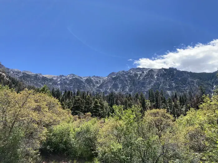
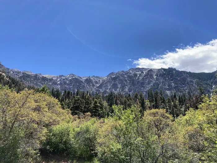
Horsethief Trail is a 14.0-mile out-and-back hiking route located in Colorado, managed by the USFS Ouray Ranger District. The trail offers an extended backcountry experience for hikers seeking a substantial day hike or backpacking opportunity in the Colorado high country. Starting from the trailhead, hikers traverse diverse terrain as they work their way into the wilderness. The out-and-back format allows visitors to turn around at any point, making it adaptable for different fitness levels and time constraints. The full 14-mile distance provides a challenging option for experienced hikers looking to explore deeper into the landscape. The trail is maintained by the Ouray Ranger District, part of the U.S. Forest Service, ensuring regular upkeep and adherence to trail safety standards. This area of Colorado offers scenic mountain environments typical of the region's protected forestlands. Hikers should come prepared with adequate water, navigation tools, and supplies for the full distance. Check current conditions with the Ouray Ranger District before heading out, as high country trails can be affected by weather and seasonal changes.

Silvershield Trail
~3 min drive
4.2 mi · Easy
Corbett
~3 min drive
5.2 mi · Moderate
Oak Creek Trail
~3 min drive
6.5 mi · Hard

Lower Cascade Falls Trail
~4 min drive
A moderate 1.66-mile out-and-back trail in Colorado for hikers of intermediate ability.
Upper Cascade Falls Trail
~4 min drive
3.0 mi · Moderate

Difficulty Creek
~6 min drive
7.5 mi · Hard
Twin Peaks
~4 min drive
2.1 mi · Easy

Cutler Creek Trail
~4 min drive
7.6 mi · Moderate

Stealey Mountain South
~8 min drive
8.7 mi · Hard
Old Twin Peaks Trail
~4 min drive
2.0 mi · Easy
Local operatorsoffering guided trips. You book directly with them — Roamze doesn’t take a cut.
Peak Mountain Guides
Hiking business nearby (~2 mi away) — hasn't claimed their Roamze page yet
Grizzly RT RV Park
Hiking business nearby (~18 mi away) — hasn't claimed their Roamze page yet
Cedar Creek RV Park and Lodging
Hiking business nearby (~31 mi away) — hasn't claimed their Roamze page yet