Mizpah Campground
Campground
Campground · 6.1 mi from the trail
 Photo: kalestews, CC BY 2.0 (via Flickr)
Alert in the area
The Forest Service lists 3 alerts for Arapaho and Roosevelt National Forests.
Fire Restrictions
Agency alert covering Arapaho and Roosevelt National Forests · USFS · Arapaho and Roosevelt National Forests
Slater Lake Area Closure
Agency alert covering Clear Creek Ranger District · Order 02-10-07-26-03 · USFS · Clear Creek Ranger District
Area Closure Surrounding the Devils Nose Target Range
Agency alert covering Clear Creek Ranger District · Order 02-10-07-26-01 · USFS · Clear Creek Ranger District
As of · Source: USFS · Arapaho and Roosevelt National Forests. Agencies don't list every closure — check before you go.
Mount Parnassus is a hard out-and-back hike in Colorado's Clear Creek Ranger District, part of the Arapaho and Roosevelt National Forests. The route is about 5.3 miles long, with a total elevation gain of 3,577 feet, and the high point reaches 13,579 feet. The Forest Service manages the land. The climb is a significant one. The route gains about 3,500 feet over roughly 5 miles, and the same amount is lost on the way back. Plan on about 3.5 hours for the trip. Watrous Gulch and Bard Creek are both within about a mile and a half, so they make easy add-ons. The Loveland Pass Area climbing area is about 6 miles away, and Mizpah Campground is about 6 miles off for an overnight base.
Mizpah Campground
Campground
 If it rainsUser:Magicpiano, CC BY-SA 4.0 · Wikimedia Commons
Historic house-museum in Georgetown, Colorado, United States
Places © OpenStreetMap contributors, Places © Overture Maps Foundation · Photos: User:Magicpiano, CC BY-SA 4.0 (commons)
More in Idaho SpringsDaily highs and lows, wind and the chance of precipitation at the summit and route start for the next 7 days, from the Open-Meteo model.
Watrous GulchHikingPhoto: kalestews, CC BY 2.0 (via Flickr)1.1 miBard CreekHikingPhoto: kalestews, CC BY 2.0 (via Flickr)1.3 mi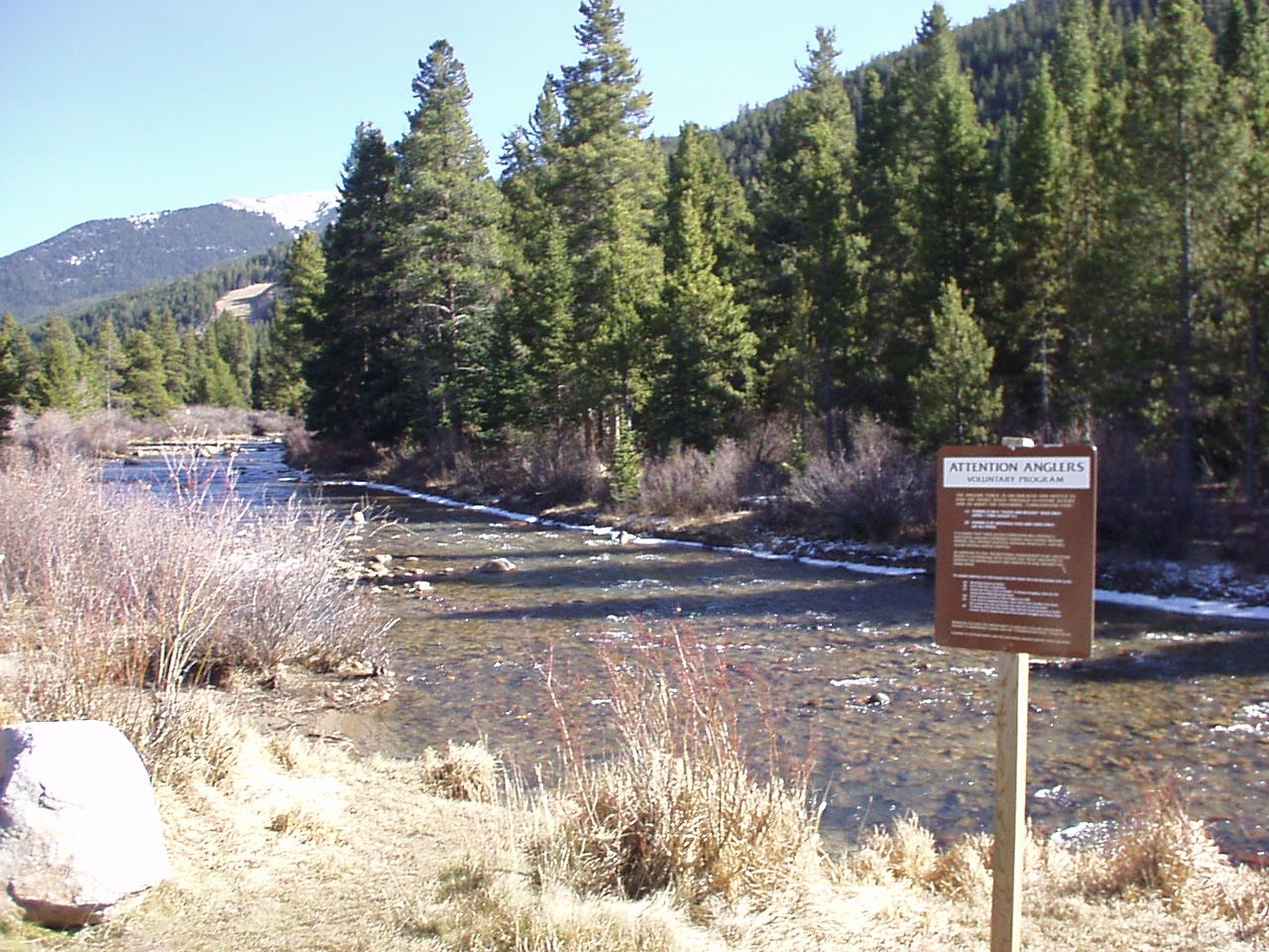 Snake RiverCanoeingPhoto: K.warterbeck, CC BY-SA 3.0 (via Wikimedia Commons)8.1 mi
Source: Roamze catalog (indexable pages within 10 miles, PostGIS distance)
Watrous GulchHiking · ~2 min drivePhoto: kalestews, CC BY 2.0 (via Flickr) Kearney GulchHiking · ~4 min drivePhoto: roland, CC BY 2.0 (via Flickr)
 West Ridge TrailHiking · ~5 min drivePhoto: glennharper, CC BY-SA 2.0 (via Flickr)
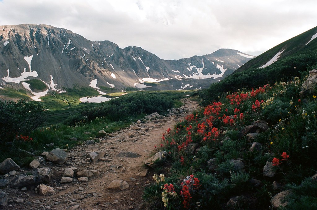 Torreys PeakHiking · ~8 min drivePhoto: MCA / Mike Allyn, CC BY 2.0 (via Flickr)CupidHiking · ~5 min drivePhoto: glennharper, CC BY-SA 2.0 (via Flickr)Grizzly PeakHiking · ~5 min drivePhoto: glennharper, CC BY-SA 2.0 (via Flickr)
 Pass LakeHiking · ~6 min drivePhoto: Kimaz2412, CC BY 2.0 (via Flickr)Mount SniktauHiking · ~5 min drivePhoto: glennharper, CC BY-SA 2.0 (via Flickr)
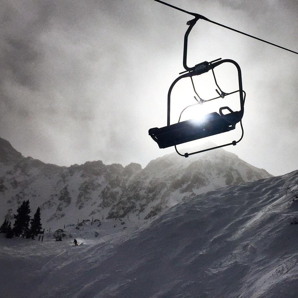 Argentine North Fork TrailHiking · ~7 min drivePhoto: cpgmattr, CC BY 2.0 (via Flickr)
Also worth it near here
 Mount BethelSummit · ~2 min drivePhoto: Joanna Lee Osborn, CC BY 2.0 (via Wikimedia Commons)
 Arapahoe BasinSki touring · ~7 min drivePhoto: Greg Younger from Fort Collins, USA, CC BY-SA 2.0 (via Wikimedia Commons)
About 5.3 mi round trip from Herman Gulch Trailhead.
About 3,577 ft of climbing round trip.
It is rated hard.
Herman Gulch Trailhead.
© openrouteservice.org by HeiGIT | Map data © OpenStreetMap contributors
