Lost Trail
- 8.2 mi
- round trip
- 5,391 ft
- climb
- 12,131 ft
- high point
- Out and back
- route
Is LOST TRAIL open right now?
Closure in the area
There's a closure order in Rio Grande National Forest. It doesn't name LOST TRAIL, so check the source for the area it covers.
Closures and dangerous conditions on roads, bridges, and trails from flooding
Agency closure covering Rio Grande National Forest · USFS · Rio Grande National Forest
As of · Source: USFS · Rio Grande National Forest. Agencies don't list every closure — check before you go.
Lost Trail is a 16.4-mile out-and-back hike in Colorado's Rio Grande National Forest, within the Divide Ranger District. The trailhead, Lost Trail Trailhead, is managed by the Forest Service, and the route is rated expert. The trail starts at about 10,335 feet and climbs steadily to a high point of 12,131 feet. The total one-way elevation gain is 4,197 feet, which makes for a long, steep climb. The low point on the route is about 9,793 feet, and the trip is best planned as a single outing with a full day or more. Lost Trail Campground sits just half a mile from the trailhead. Heart Lake and Ute Creek are both about 3 miles away, and the Rio Grande Reservoir Boating Site is about 5 miles off.
Local outfitters
- Grizzly RT RV Park10 mi away
- Crazy Horse Outfitters24 mi away
Not on Roamze yet. Their page has how to reach them.
- Lost Trail CampgroundCamping0.5 mi
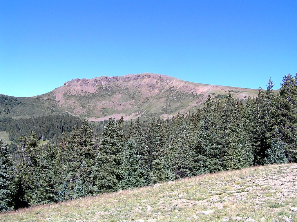 Heart LakeHikingPhoto: fringedbenefit, CC BY 2.0 (via Flickr)3 mi
- Ute CreekCanoeing3.3 mi
- Rio Grande Reservoir Boating SiteLake fishing5 mi
- West UteHiking5.7 mi
 WeminucheHikingPhoto: JustTooLazy, CC BY 2.0 (via Flickr)6 mi
- Thirty MileCamping6.4 mi
- Jagged MountainMountaineering9.7 mi
Source: Roamze catalog (indexable pages within 10 miles, PostGIS distance)
- Heart LakeHiking · ~5 min drivePhoto: fringedbenefit, CC BY 2.0 (via Flickr)
- WeminucheHiking · ~10 min drivePhoto: JustTooLazy, CC BY 2.0 (via Flickr)
- Rio Grande PyramidHiking · ~11 min drivePhoto: JustTooLazy, CC BY 2.0 (via Flickr)
 30 Mile Horse TrailHiking · ~12 min drivePhoto: JustTooLazy, CC BY 2.0 (via Flickr)
 Cataract CreekHiking · ~14 min drivePhoto: markbyzewski, CC BY 2.0 (via Flickr)
- Grizzly CreekHiking · ~11 min drivePhoto: JustTooLazy, CC BY 2.0 (via Flickr)
 Coney PointHiking · ~17 min drivePhoto: markbyzewski, CC BY 2.0 (via Flickr)
- North Fork Pine River TrailHiking · ~13 min drive
- West Fork Pole CreekHiking · ~16 min drive
 Ute LakeHiking · ~15 min drivePhoto: dsearls, CC BY 2.0 (via Flickr)
Also worth it near here

