
Mountain · 1 route
Carson Peak
13,659 ft · Colorado
Photo: Jane Nearing, CC BY 2.0 (via Wikimedia Commons)
- Summit
- 13,659 ft
- Routes
- 1 way up
- Managed by
- Forest Service
Route up Carson Peak
About Carson Peak
Carson Peak is a summit of about 13,659 feet in Hinsdale County, Colorado, on the Divide Ranger District of the Rio Grande National Forest. The Forest Service manages the land, and the nearest town is Lake City, about 12 miles away. A summit route leads to the top. West Lost Creek and Cataract Creek are both hikes about 2 miles away. Grizzly RT RV Park and Cataract Gulch campground sit a little farther out, each within about 3.5 miles.
Forecast on Carson Peak
Daily highs and lows, wind and the chance of precipitation at the summit and cataract gulch trailhead for the next 7 days, from the Open-Meteo model.
Questions about Carson Peak
How tall is Carson Peak?
13,659 ft (4,163 m).
How many routes go to the summit of Carson Peak?
One: Carson Peak.
Where do the routes up Carson Peak start?
Carson Peak starts at Cataract Gulch Trailhead.
Mountains nearby
 Half Peak13,850 ft · Colorado1 route3.5 mi awayPhoto: John Sowell, CC BY-SA 4.0 (via Wikimedia Commons)
 Sunshine Peak14,001 ft · Colorado2 routes4.7 mi awayPhoto: Jane Nearing, CC BY 2.0 (via Wikimedia Commons)
 Redcloud Peak14,034 ft · Colorado2 routes5.8 mi awayPhoto: Mitchtobin, CC BY-SA 4.0 (via Wikimedia Commons)
 American Peak13,807 ft · Colorado1 route6.7 mi awayPhoto: Michael Kwok, CC BY 2.0 (via Wikimedia Commons)
 Handies Peak14,051 ft · Colorado1 route6.8 mi awayPhoto: Mitchtobin, CC BY-SA 4.0 (via Wikimedia Commons)
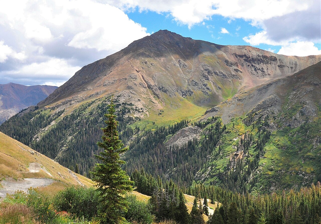 Whitecross Mountain13,541 ft · Colorado1 route7.1 mi awayPhoto: Larry Lamsa, CC BY 2.0 (via Wikimedia Commons)
Facts about this place
Where it is
- Divide Ranger District · Ranger district
- Rio Grande National Forest · National forest
- Nearest town
- Lake City, Colorado · 12 mi
- Managed by
- Forest Service
Source: USFS EDW boundaries; USGS PAD-US 4.1; USGS GNIS populated places
Conditions
Active alerts for Divide Ranger District as of Oct 9, 2026:
Big Meadows Recreation Area Use Regulations
information · posted Aug 24, 2026
Beaver Creek Recreation Area Use Restrictions
information · posted Aug 24, 2026
Wolf Creek Pass Winter Recreation Area
information · posted Aug 24, 2026
Motor Vehicle Seasonal Groomed Road Closures
information · posted Aug 24, 2026
NFS ROAD 510 AND 510.3B AREA CLSOURE
information · posted Aug 24, 2026
Source: USFS forest alerts
Nearby
- West Lost CreekHiking2 mi
 Cataract CreekHikingPhoto: markbyzewski, CC BY 2.0 (via Flickr)2.2 mi
- Grizzly RT RV ParkCamping3.2 mi
 Cataract GulchCampingPhoto: Mitchtobin, CC BY-SA 4.0 (via Wikimedia Commons)3.4 mi
- Lake ForkCanoeing4.4 mi
- Lily of the Valley BoulderRock climbing7.9 mi
 Eureka areaRock climbingPhoto: Greg Willis from Denver, CO, usa, CC BY-SA 2.0 (via Wikimedia Commons)9 mi
- Ute CreekCanoeing9.2 mi
Source: Roamze catalog (indexable pages within 10 miles, PostGIS distance)
Is Carson Peak open right now?
No closures listed
The Forest Service lists no closures for Rio Grande National Forest.
As of · Source: USFS · Rio Grande National Forest. Agencies don't list every closure — check before you go.
