Cunningham Gulch Dispersed Camping
Campground
Campground · 3.3 mi from the trail
West Fork Pole Creek is a moderate out-and-back hike in Colorado's Rio Grande National Forest, managed by the Forest Service. The trail is about 1.7 miles long, with a total elevation gain of 936 feet, and it starts and ends at the high point of 12,547 feet. The route is rolling, and the steepest stretch comes early, at about 0.1 mile in, where the grade reaches 30 percent. The hike is short enough to fit into a single day. Plan about an hour for the round trip, and expect the climb to be the most demanding part of the route. The Cdt - Ct mountain biking trail lies about 0.6 miles away, and the Middle Pole Trail is about 1.5 miles off. Climbers can head to Master's Wall, roughly 3.4 miles away, and Eureka Campground and Store is about 5 miles away for an overnight stay.
Cunningham Gulch Dispersed Camping
Campground
Smuggler Union Tramhouse
Attraction
Places © OpenStreetMap contributors, Places © Overture Maps Foundation
More in TellurideNot on Roamze yet. Their page has how to reach them.
 Animas RiverCanoeingPhoto: Clyde frogg, CC BY-SA 3.0 (via Wikimedia Commons)4.9 mi
 Eureka areaRock climbingPhoto: Greg Willis from Denver, CO, usa, CC BY-SA 2.0 (via Wikimedia Commons)5.2 mi
Source: Roamze catalog (indexable pages within 10 miles, PostGIS distance)
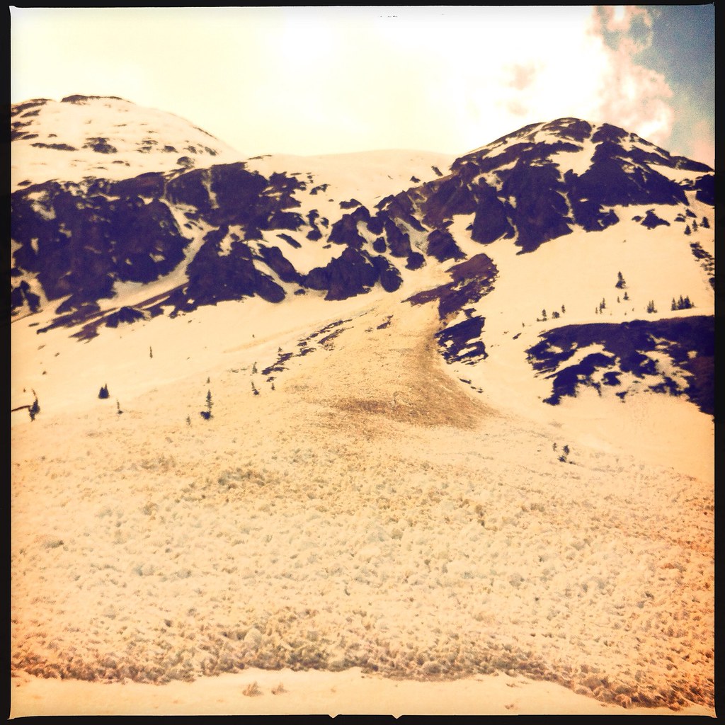 Emery PeakHiking · ~13 min drivePhoto: denverkid, CC BY 2.0 (via Flickr)
 Tower MountainHiking · ~13 min drivePhoto: denverkid, CC BY 2.0 (via Flickr)
 Cataract CreekHiking · ~11 min drivePhoto: markbyzewski, CC BY 2.0 (via Flickr)Dome MountainHiking · ~13 min drivePhoto: denverkid, CC BY 2.0 (via Flickr)
 American PeakHiking · ~13 min drivePhoto: WKHarmon, CC BY 2.0 (via Flickr)Handies PeakHiking · ~13 min drivePhoto: WKHarmon, CC BY 2.0 (via Flickr)
Also worth it near here
 Canby MountainSummit · ~3 min drivePhoto: Bruno Rijsman, CC BY-SA 2.0 (via Wikimedia Commons)Animas RiverCanoeing · ~8 min drivePhoto: Clyde frogg, CC BY-SA 3.0 (via Wikimedia Commons)Eureka areaRock climbing · ~9 min drivePhoto: Greg Willis from Denver, CO, usa, CC BY-SA 2.0 (via Wikimedia Commons)
Map and trail data © OpenStreetMap contributors
