North Fork Pine River Trail
At a glance
The North Fork Pine River Trail is an easy out-and-back hike of about 2.7 miles in Colorado's Weminuche Wilderness, within the Columbine Ranger District of the San Juan National Forest. The Forest Service manages the land, and the trail starts at about 10,533 feet, rising to a high point of 10,632 feet before returning to the start. The climb is gentle, with a total gain of about 217 feet, and the steepest stretch comes around the 1.2-mile mark at about a 5% grade. Summer is the most comfortable time to go. Typical averages from a nearby weather station at Rio Grande Reservoir, which sits about 1,140 feet lower, show July highs near 76°F and lows around 42°F, while winter brings highs in the mid-30s and regular snow days from December through March. The trip takes about an hour. The Skyline and Rincon La Osa hikes are both within about 1.6 miles, and the Los Pinos River offers canoeing about 4.4 miles away. For an overnight stay, Thirty Mile campground is about 5.4 miles off.
- round trip
- 1.4 mi
- climb
- 217 ft
- high point
- 10,632 ft
- route
- Out and back
- time
- About 30 minutes
- best months
- Jun–Jul, Sep
Where it is: Weminuche Wilderness · Columbine Ranger District
Best time to visit North Fork Pine River Trail
Best months: June–July and September. Best months have typical highs of 55–85 °F, lows of 30 °F or warmer (32 °F where the station doesn't record snow), at most one snowy day and no more than 12 wet days.
Jan
34°
-4°
4 wet · 4 snow
Feb
37°
-2°
4 wet · 4 snow
Mar
43°
9°
5 wet · 5 snow
Apr
50°
20°
6 wet · 5 snow
May
60°
29°
5 wet · 2 snow
Jun
71°
36°
5 wet
Jul
76°
42°
11 wet
Aug
73°
41°
13 wet
Sep
68°
35°
9 wet
Oct
58°
25°
6 wet · 2 snow
Nov
44°
12°
4 wet · 3 snow
Dec
34°
-3°
4 wet · 3 snow
Typical high / low (°F) and days with rain or snow, 1991–2020. Measured at Rio Grande Rsvr, CO, 5 mi away at 9,492 ft. The station sits about 1,100 ft lower than this place, so expect it a little cooler here. Source: NOAA NCEI U.S. Climate Normals 1991–2020.
Been here? Tell people how it was.
- SkylineHiking1.4 mi
- Rincon La OsaHiking1.6 mi
- SnowslideHiking2.3 mi
 Los Pinos RiverCanoeingPhoto: Jeffrey Beall, CC BY 4.0 (via Wikimedia Commons)4.4 mi
- Rio Grande Reservoir Boating SiteLake fishing4.6 mi
- Thirty MileCamping5.4 mi
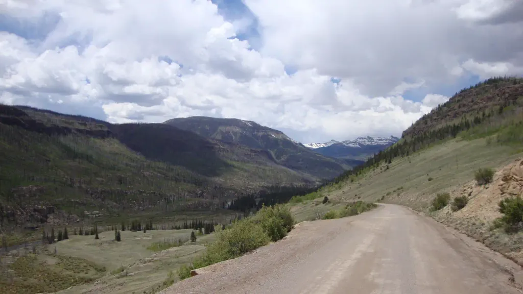 River HillCampingPhoto: Recreation.gov (RIDB) / public domain6.7 mi
- The Pope's NoseRock climbing7.8 mi
 Rio Grande PyramidHikingPhoto: JustTooLazy, CC BY 2.0 (via Flickr)~9 min drive
- Grizzly CreekHikingPhoto: JustTooLazy, CC BY 2.0 (via Flickr)~9 min drive
 30 Mile Horse TrailHikingPhoto: JustTooLazy, CC BY 2.0 (via Flickr)~10 min drive
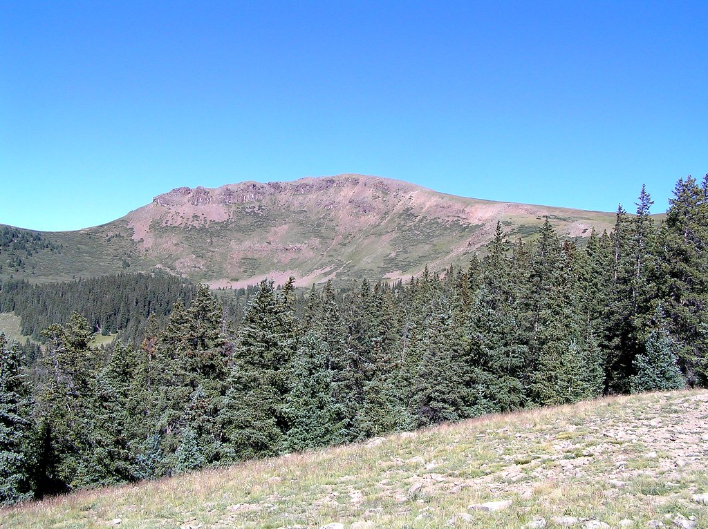 Heart LakeHikingPhoto: fringedbenefit, CC BY 2.0 (via Flickr)~17 min drive
- LOST TRAILHiking~13 min drive
 Ute LakeHikingPhoto: dsearls, CC BY 2.0 (via Flickr)~11 min drive
- Granite LakeHiking~8 min drive
- Divide LakesHiking~8 min drive
- Rock CreekHiking~16 min drive
- WeminucheHikingPhoto: JustTooLazy, CC BY 2.0 (via Flickr)~8 min drive
Conditions and forecast
Daily highs and lows, wind and the chance of precipitation at Start for the next 7 days, from the Open-Meteo model.
Ask about this place
Questions about North Fork Pine River Trail: conditions, access, timing. Answers say when something isn't known.
Local outfitters
- Crazy Horse Outfitters16 mi away
- Grizzly RT RV Park17 mi away
Not on Roamze yet. Their page has how to reach them.
Map and trail data © OpenStreetMap contributors
