Rio Grande Pyramid
 Photo: JustTooLazy, CC BY 2.0 (via Flickr)
- 21.2 mi
- round trip
- 5,500 ft
- climb
- 13,793 ft
- high point
- Out and back
- route
Is Rio Grande Pyramid open right now?
Closure in the area
There's a closure order in Rio Grande National Forest. It doesn't name Rio Grande Pyramid, so check the source for the area it covers.
Closures and dangerous conditions on roads, bridges, and trails from flooding
Agency closure covering Rio Grande National Forest · USFS · Rio Grande National Forest
As of · Source: USFS · Rio Grande National Forest. Agencies don't list every closure — check before you go.
Rio Grande Pyramid is a 21-mile out-and-back hike in Colorado's Rio Grande National Forest, within the Forest Service's Divide Ranger District. It is a serious mountain objective, with a total climb of about 5,500 feet and a high point of 13,793 feet. The route is rated expert, and the trip is estimated to take about 10 hours. The hike begins at the Grizzly Creek trail, just 0.1 mile away, and the Thirty Mile campground sits 0.2 mile off. The Weminuche and 30 Mile Horse Trail hikes are both within a mile. For an overnight base, Thirty Mile campground is the closest.
Local outfitters
- Grizzly RT RV Park15 mi away
- Crazy Horse Outfitters19 mi away
Not on Roamze yet. Their page has how to reach them.
Conditions and forecast on Rio Grande Pyramid
Daily highs and lows, wind and the chance of precipitation at the summit and route start for the next 7 days, from the Open-Meteo model.
- Grizzly CreekHikingPhoto: JustTooLazy, CC BY 2.0 (via Flickr)0.1 mi
- Thirty MileCamping0.2 mi
- WeminucheHikingPhoto: JustTooLazy, CC BY 2.0 (via Flickr)0.6 mi
 30 Mile Horse TrailHikingPhoto: JustTooLazy, CC BY 2.0 (via Flickr)0.8 mi
- Rio Grande Reservoir Boating SiteLake fishing1.5 mi
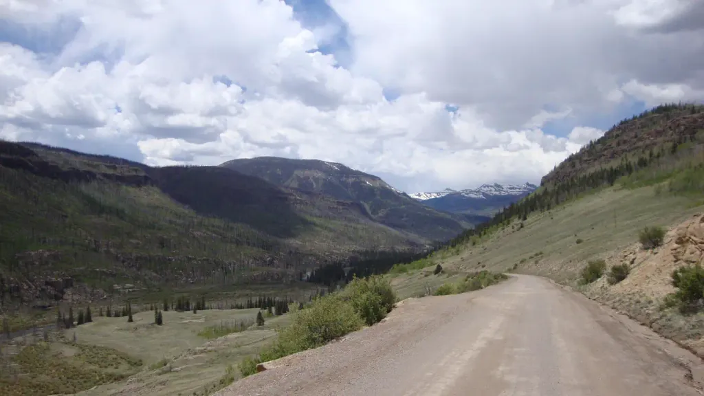 River HillCampingPhoto: Recreation.gov (RIDB) / public domain1.6 mi
- Road Canyon CampgroundCamping4.3 mi
- Road Canyon Boat RampLake fishing5.3 mi
Source: Roamze catalog (indexable pages within 10 miles, PostGIS distance)
- 30 Mile Horse TrailHiking · ~1 min drivePhoto: JustTooLazy, CC BY 2.0 (via Flickr)
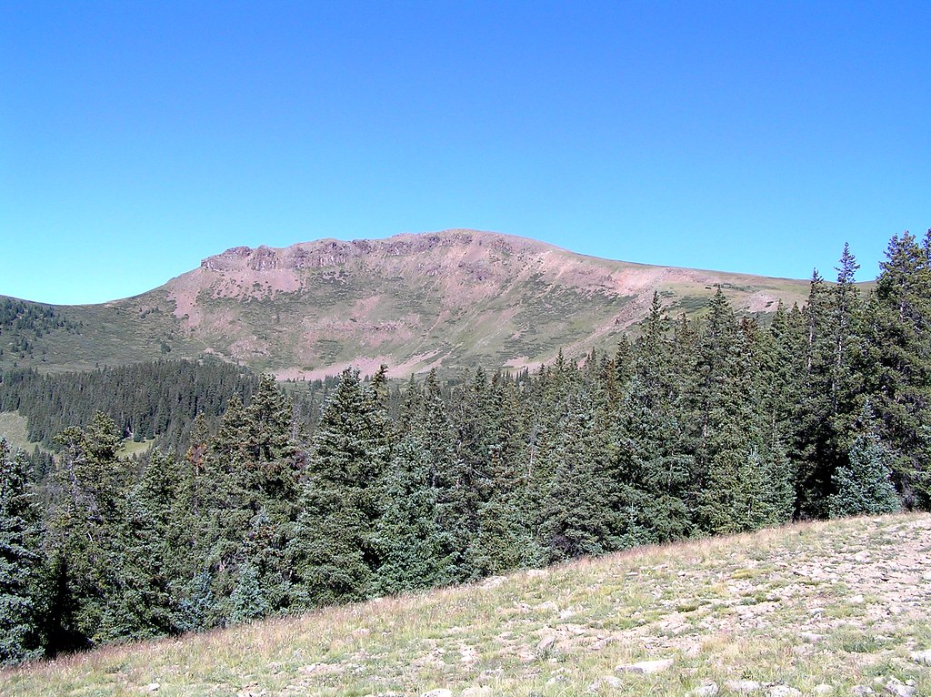 Heart LakeHiking · ~13 min drivePhoto: fringedbenefit, CC BY 2.0 (via Flickr)
 Ute LakeHiking · ~18 min drivePhoto: dsearls, CC BY 2.0 (via Flickr)
- LOST TRAILHiking · ~11 min drive
 So Cl Cr Falls NatureHiking · ~16 min drivePhoto: waterarchives, CC BY-SA 2.0 (via Flickr)
 Trout CreekHiking · ~20 min drivePhoto: fringedbenefit, CC BY 2.0 (via Flickr)
- WeminucheHiking · ~1 min drivePhoto: JustTooLazy, CC BY 2.0 (via Flickr)
- POLE CREEKHiking · ~20 min drive
- North Fork Pine River TrailHiking · ~9 min drive
- Fern Creek TrailHiking · ~15 min drive
Also worth it near here
- Rio Grande Reservoir Boating SiteBoat launch · ~3 min drive
- Rio Grande Reservoir Boating SiteLake fishing · ~3 min drive
- River HillCamping · ~3 min drive
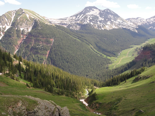 Rio Grande PyramidSummit · ~13 min drivePhoto: U.S. Forest Service Staff, Public domain (via Wikimedia Commons)
 Los Pinos RiverCanoeing · ~16 min drivePhoto: Jeffrey Beall, CC BY 4.0 (via Wikimedia Commons)
Route details
- Distance
- 21.2 mi round trip
- Climbing
- About 5,500 ft
- Starts at
- Thirty Mile Trailhead
- Summit
- 13,820 ft
- Difficulty
- Expert
Questions about this route
How long is the Rio Grande Pyramid on Rio Grande Pyramid?
About 21.2 mi round trip from Thirty Mile Trailhead.
How much elevation gain is on the Rio Grande Pyramid?
About 5,500 ft of climbing round trip.
How hard is the Rio Grande Pyramid?
It is rated expert.
Where does the Rio Grande Pyramid start?
Thirty Mile Trailhead.
© openrouteservice.org by HeiGIT | Map data © OpenStreetMap contributors
