Heart Lake
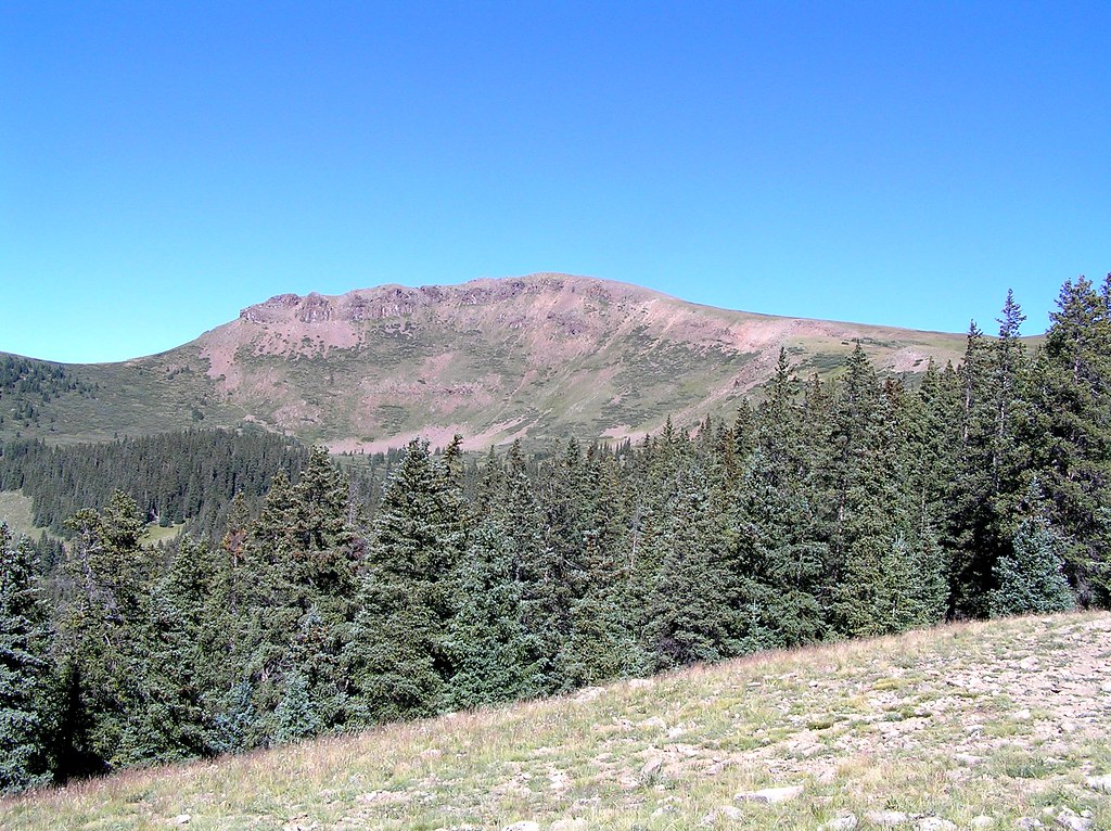 Photo: fringedbenefit, CC BY 2.0 (via Flickr)
- 3.6 mi
- round trip
- 904 ft
- climb
- 11,721 ft
- high point
- Out and back
- route
Caution at last check
Agency alerts are in effect for this area; weather is good · USFS, OpenWeather · checked 13 h ago
Is Heart Lake open right now?
Closure in the area
There's a closure order in Rio Grande National Forest. It doesn't name Heart Lake, so check the source for the area it covers.
Closures and dangerous conditions on roads, bridges, and trails from flooding
Agency closure covering Rio Grande National Forest · USFS · Rio Grande National Forest
As of · Source: USFS · Rio Grande National Forest. Agencies don't list every closure — check before you go.
Heart Lake is a moderate out-and-back hike in Colorado's Rio Grande National Forest, within the Divide Ranger District. The trail is about 3.6 miles long, with a one-way elevation gain of 904 feet, taking you from a low point of about 10,819 feet to a high of about 11,721 feet. The Forest Service manages the land, and the route is open year-round. The trail is natural-surfaced and allows both horses and bikes, so it works for riders and pack animals as well as hikers. That makes it a flexible option for a day on foot or on horseback, with the added option of bringing a bike along. The closest neighbors are Lost Trail, a hike about 3 miles away, and Lost Trail Campground, about 3.1 miles off. West Lost Creek and the Wager Gulch Memorial Trail are both within about 6 miles, and Mill Creek Campground is roughly 7 miles away.
Local outfitters
- Grizzly RT RV Park8 mi away
- Peak Mountain Guides23 mi away
Not on Roamze yet. Their page has how to reach them.
- LOST TRAILHiking3 mi
- Lost Trail CampgroundCamping3.1 mi
- West Lost CreekHiking6 mi
- WAGER GULCH MEMORIAL TRAILHiking6.1 mi
- Ute CreekCanoeing6.2 mi
- Rio Grande Reservoir Boating SiteLake fishing6.5 mi
- Mill Creek CampgroundCamping7.2 mi
- Mill Creek Campground (CO)Camping7.3 mi
Source: Roamze catalog (indexable pages within 10 miles, PostGIS distance)
 Cataract CreekHiking · ~12 min drivePhoto: markbyzewski, CC BY 2.0 (via Flickr)
 Grizzly CreekHiking · ~13 min drivePhoto: JustTooLazy, CC BY 2.0 (via Flickr)
 30 Mile Horse TrailHiking · ~13 min drivePhoto: JustTooLazy, CC BY 2.0 (via Flickr)
 Carson PeakHiking · ~14 min drivePhoto: markbyzewski, CC BY 2.0 (via Flickr)
- Williams Creek TrailHiking · ~13 min drive
 Ute LakeHiking · ~20 min drivePhoto: dsearls, CC BY 2.0 (via Flickr)
 So Cl Cr Falls NatureHiking · ~19 min drivePhoto: waterarchives, CC BY-SA 2.0 (via Flickr)
 Coney PointHiking · ~14 min drivePhoto: markbyzewski, CC BY 2.0 (via Flickr)
- West Fork Pole CreekHiking · ~18 min drive
- WeminucheHiking · ~13 min drivePhoto: JustTooLazy, CC BY 2.0 (via Flickr)
