Middle Creek Trail
- 5.2 mi
- round trip
- 2,317 ft
- climb
- 10,694 ft
- high point
- Out and back
- route
Is Middle Creek Trail open right now?
Closure in the area
There's a closure order in Rio Grande National Forest. It doesn't name Middle Creek Trail, so check the source for the area it covers.
Closures and dangerous conditions on roads, bridges, and trails from flooding
Agency closure covering Rio Grande National Forest · USFS · Rio Grande National Forest
As of · Source: USFS · Rio Grande National Forest. Agencies don't list every closure — check before you go.
Middle Creek Trail is a hard hike in Colorado's Rio Grande National Forest, within the Saguache Ranger District. The trail is an out-and-back that covers about 10.5 miles, with a total elevation gain of 2,317 feet. The route starts at Middle Creek Trailhead, and the high point reaches 10,694 feet, while the low point is 8,888 feet. The steepest stretch comes at about 4.4 miles in, with a grade of 25 percent. The trip takes about 4.5 hours, and the trail is managed by the Forest Service. The Indian Creek hike lies just 0.1 mile away, and East Middle is 0.8 mile off. Tank Seven and the Indian Creek Cut-Off are both within about 3 miles. For an overnight stay, Brewery Creek Cabin and Brewery Creek Guard Station sit about 7.3 miles away.
Local outfitters
- Monarch Spur RV Park18 mi away
- San Luis Valley Campground19 mi away
Not on Roamze yet. Their page has how to reach them.
- Indian CreekHiking0.1 mi
- East MiddleHiking0.8 mi
- Tank SevenHiking2.6 mi
- Indian Creek Cut-OffHiking3.2 mi
- Big Bend Creek Trail 488Hiking4 mi
- TANK SEVEN CREEKHiking5.6 mi
- Brewery Creek CabinCamping7.3 mi
- Brewery Creek Guard StationCamping7.3 mi
Source: Roamze catalog (indexable pages within 10 miles, PostGIS distance)
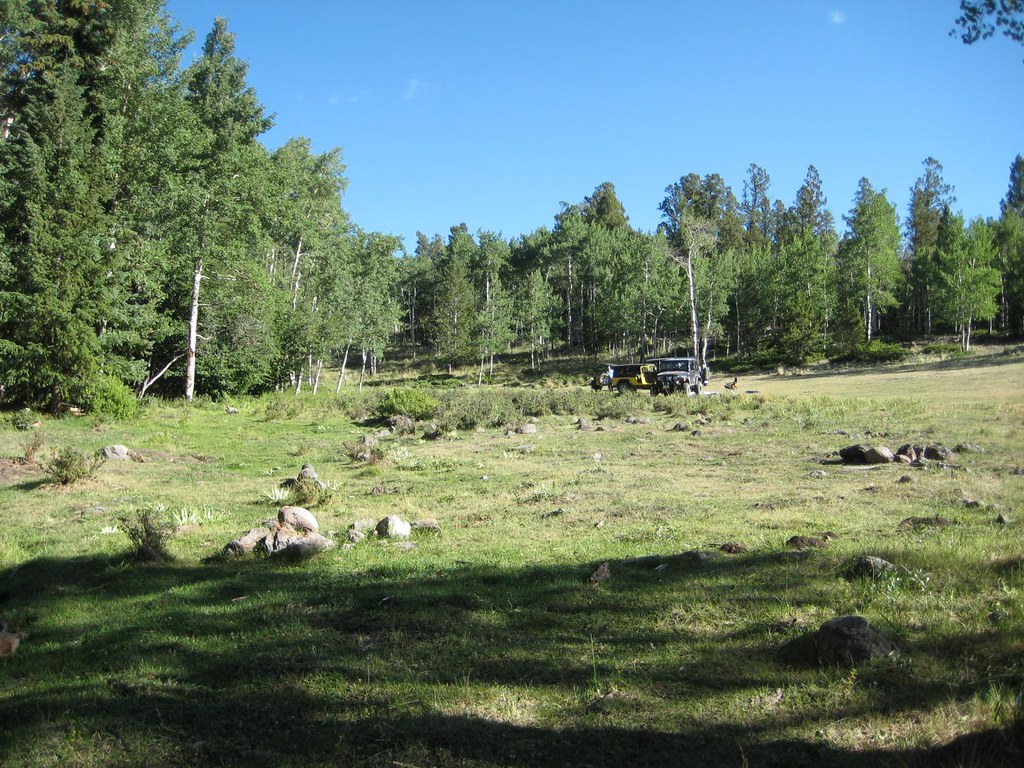 Brewery CreekHiking · ~11 min drivePhoto: GSEC, CC BY 2.0 (via Flickr)
- Antora CreekHiking · ~11 min drivePhoto: GSEC, CC BY 2.0 (via Flickr)
 Agate CreekHiking · ~18 min drivePhoto: jl_2, CC BY-SA 2.0 (via Flickr)
- AGATE CREEKHiking · ~20 min drive
- FlagstaffHiking · ~12 min drivePhoto: GSEC, CC BY 2.0 (via Flickr)
- Tank SevenHiking · ~4 min drive
 Upper Razor Spur TrailHiking · ~21 min drivePhoto: bgautrea, CC BY-SA 2.0 (via Flickr)
 BIG BEND CREEKHiking · ~14 min drivePhoto: aspidoscelis, Public Domain Dedication (CC0) (via Flickr)
- TANK SEVEN CREEKHiking · ~10 min drive
- Long Branch 489 trailHiking · ~14 min drive
Also worth it near here


