Cunningham Gulch Dispersed Camping
Campground
Campground · 6.1 mi from the trail
Closure in the area
There's a closure order in Rio Grande National Forest. It doesn't name East Fk. Middle Pole Trail, so check the source for the area it covers.
Closures and dangerous conditions on roads, bridges, and trails from flooding
Agency closure covering Rio Grande National Forest · USFS · Rio Grande National Forest
As of · Source: USFS · Rio Grande National Forest. Agencies don't list every closure — check before you go.
East Fk. Middle Pole Trail is an expert-level hike in the Divide Ranger District of Colorado's Rio Grande National Forest, managed by the Forest Service. The trail is an out-and-back route of about 6.5 miles, with a start elevation of roughly 11,280 feet and a high point near 12,350 feet. The climb is steady, with a total gain of about 2,623 feet, and the steepest section comes around the 3-mile mark, where the grade reaches about 26%. The trail is a serious commitment. The one-way climb of 1,847 feet and the round-trip total of 2,623 feet mean it's best suited to experienced hikers with a full day on foot. West Pole Trail and Middle Pole Trail both sit within a mile of the route. Climbers can head to Master's Wall, about 6 miles away, and Cataract Gulch campground is about 6.6 miles off.
Cunningham Gulch Dispersed Camping
Campground
Smuggler Union Tramhouse
Attraction
Places © OpenStreetMap contributors, Places © Overture Maps Foundation
More in TellurideNot on Roamze yet. Their page has how to reach them.
 Cataract GulchCampingPhoto: Mitchtobin, CC BY-SA 4.0 (via Wikimedia Commons)6.6 mi
 Animas RiverCanoeingPhoto: Clyde frogg, CC BY-SA 3.0 (via Wikimedia Commons)8 mi
Source: Roamze catalog (indexable pages within 10 miles, PostGIS distance)
 Carson PeakHiking · ~11 min drivePhoto: markbyzewski, CC BY 2.0 (via Flickr)
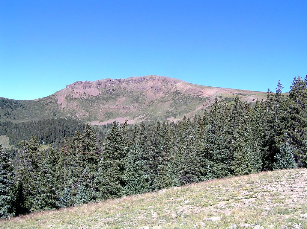 Heart LakeHiking · ~12 min drivePhoto: fringedbenefit, CC BY 2.0 (via Flickr)
 American PeakHiking · ~14 min drivePhoto: WKHarmon, CC BY 2.0 (via Flickr)
 Coney PointHiking · ~11 min drivePhoto: markbyzewski, CC BY 2.0 (via Flickr)
 Cataract CreekHiking · ~8 min drivePhoto: markbyzewski, CC BY 2.0 (via Flickr)Handies PeakHiking · ~14 min drivePhoto: WKHarmon, CC BY 2.0 (via Flickr)
Also worth it near here
Map and trail data © OpenStreetMap contributors


