Cataract Gulch
Campground
Campground · < 0.1 mi from the trail
 Photo: markbyzewski, CC BY 2.0 (via Flickr)
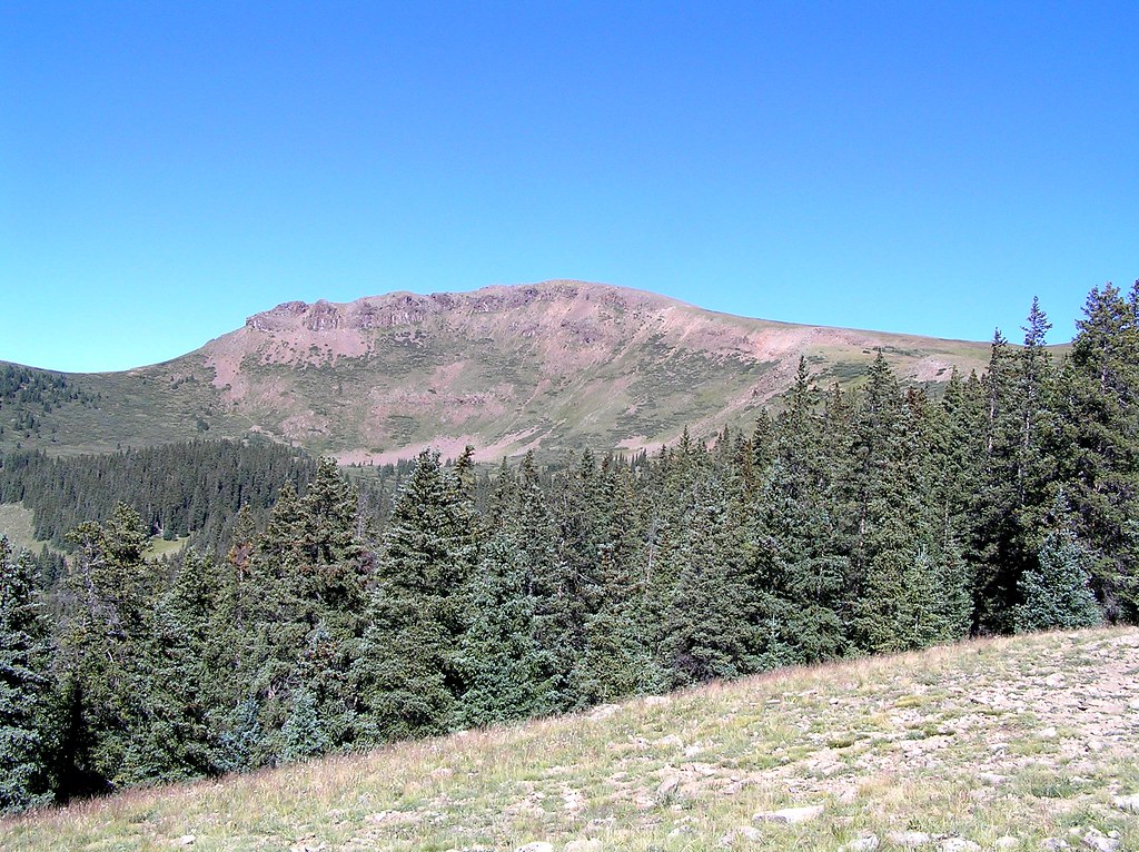
Carson Peak is a 13,661-foot summit in Colorado's Gunnison National Forest, managed by the Forest Service. The route begins at Cataract Gulch Trailhead and is a round trip of about 16.6 miles with roughly 5,589 feet of climbing. The mapped trail ends about half a mile and 1,218 feet short of the summit, and the final stretch is off-trail with no mapped path, so route-finding is needed. The hike is rated expert. Plan for a long day with a significant climb. Cataract Gulch Campground and the Coney Point hike both sit about 0.1 mile from the trailhead. Grizzly RT RV Park is about 1.3 miles away, and Lake Fork, a canoeing spot, is about 1.6 miles off.
Cataract Gulch
Campground
Red Mountain Brewing
Restaurant
Smuggler Union Tramhouse
Attraction
Places © OpenStreetMap contributors
More in TellurideNot on Roamze yet. Their page has how to reach them.
Daily highs and lows, wind and the chance of precipitation at the summit and route start for the next 7 days, from the Open-Meteo model.
 Coney PointHikingPhoto: markbyzewski, CC BY 2.0 (via Flickr)0.1 mi
 Cataract GulchCampingPhoto: Mitchtobin, CC BY-SA 4.0 (via Wikimedia Commons)0.1 mi
 Cataract CreekHikingPhoto: markbyzewski, CC BY 2.0 (via Flickr)1.7 mi
 Henson CreekCanoeingPhoto: Jeffrey Beall, CC BY 4.0 (via Wikimedia Commons)7 mi
 Eureka areaRock climbingPhoto: Greg Willis from Denver, CO, usa, CC BY-SA 2.0 (via Wikimedia Commons)7.2 mi
Source: Roamze catalog (indexable pages within 10 miles, PostGIS distance)
Cataract CreekHiking · ~3 min drivePhoto: markbyzewski, CC BY 2.0 (via Flickr) Redcloud PeakHiking · ~5 min drivePhoto: kalestews, CC BY 2.0 (via Flickr)
 Handies PeakHiking · ~8 min drivePhoto: WKHarmon, CC BY 2.0 (via Flickr)
 Heart LakeHiking · ~14 min drivePhoto: fringedbenefit, CC BY 2.0 (via Flickr)Mark MountainHiking · ~5 min drivePhoto: kalestews, CC BY 2.0 (via Flickr)
 Houghton MountainHiking · ~13 min drivePhoto: mjhbower, CC BY-SA 2.0 (via Flickr)
 Engineer Mountain TrailHiking · ~15 min drivePhoto: WKHarmon, CC BY 2.0 (via Flickr)Sunshine PeakHiking · ~5 min drivePhoto: kalestews, CC BY 2.0 (via Flickr)
About 16.6 mi round trip from Cataract Gulch Trailhead.
About 5,589 ft of climbing round trip.
It is rated expert.
Cataract Gulch Trailhead.
© openrouteservice.org by HeiGIT | Map data © OpenStreetMap contributors
