Lost Trail Campground
Campground
Campground · 6.4 mi from the trail
Closure in the area
There's a closure order in Rio Grande National Forest. It doesn't name POLE CREEK, so check the source for the area it covers.
Closures and dangerous conditions on roads, bridges, and trails from flooding
Agency closure covering Rio Grande National Forest · USFS · Rio Grande National Forest
As of · Source: USFS · Rio Grande National Forest. Agencies don't list every closure — check before you go.
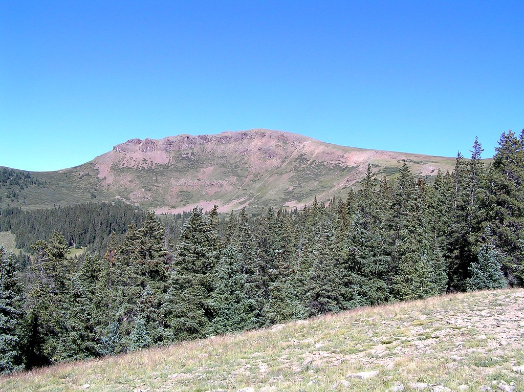
Pole Creek is an out-and-back hike of about 12.8 miles in Colorado's Rio Grande National Forest, within the Divide Ranger District. The trail starts at the Pole Creek Trailhead and climbs steadily from a low point of about 10,540 feet to a high point of 12,474 feet, with a total elevation gain of about 3,032 feet. The route is rated expert, and the Forest Service manages the land. The climb is a single, steady ascent, so plan on a full day on the trail. The trailhead is the natural starting point, and the round trip covers the full 12.8 miles and the full 3,032 feet of gain. Several other routes sit close by. West Pole Trail is about 2.7 miles away, and East Fk. Middle Pole Trail is about 3.3 miles away. For climbers, Jagged Mountain is about 4.4 miles off, and Lost Trail Campground offers a place to stay about 6.4 miles away.
Lost Trail Campground
Campground
Shady Lady
Bar
Smuggler Union Tramhouse
Attraction
Places © OpenStreetMap contributors, Places © Overture Maps Foundation
More in TellurideNot on Roamze yet. Their page has how to reach them.
Source: Roamze catalog (indexable pages within 10 miles, PostGIS distance)
 Ute LakeHiking · ~11 min drivePhoto: dsearls, CC BY 2.0 (via Flickr)
 Heart LakeHiking · ~14 min drivePhoto: fringedbenefit, CC BY 2.0 (via Flickr)
 Cataract CreekHiking · ~14 min drivePhoto: markbyzewski, CC BY 2.0 (via Flickr)


