Cunningham Gulch Dispersed Camping
Campground
Campground · 4.1 mi from the trail
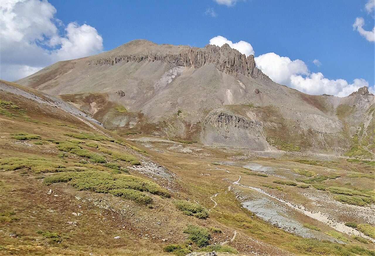
 Photo: Bruno Rijsman, CC BY-SA 2.0 (via Wikimedia Commons)
Closure in the area
There's a closure order in Rio Grande National Forest. It doesn't name Greenhalgh Mountain, so check the source for the area it covers.
Closures and dangerous conditions on roads, bridges, and trails from flooding
Agency closure covering Rio Grande National Forest · USFS · Rio Grande National Forest
As of · Source: USFS · Rio Grande National Forest. Agencies don't list every closure — check before you go.
Greenhalgh Mountain is a summit of about 13,227 feet in San Juan County, Colorado, on the Divide Ranger District of the Rio Grande National Forest. The nearest town is Silverton, about 9 miles away, and the Forest Service manages the surrounding land. West Pole Trail, a mountain biking route, lies about 1.4 miles away, and the West Fork Pole Creek hike is about 2.3 miles off. Climbers can head to Master's Wall, about 3.9 miles away, and Eureka Campground sits roughly 7 miles from the summit.
Cunningham Gulch Dispersed Camping
Campground
Eureka Station
Restaurant
Smuggler Union Tramhouse
Attraction
Places © OpenStreetMap contributors
More in TellurideDaily highs and lows, wind and the chance of precipitation at the summit for the next 7 days, from the Open-Meteo model.
Elevation from USGS 3D Elevation Program terrain data (about 10 m resolution).
We don't know of a mapped trail or route to the summit of Greenhalgh Mountain. Plan the approach with local maps, a guidebook or a local guide, and check conditions before you go.
13,227 ft (4,032 m).
We don't know of a mapped trail or route to the summit. Plan the approach with local maps, a guidebook or a local guide.


 Animas RiverCanoeingPhoto: Clyde frogg, CC BY-SA 3.0 (via Wikimedia Commons)6.7 mi
Source: Roamze catalog (indexable pages within 10 miles, PostGIS distance)
Canby MountainSummit · ~4 min drivePhoto: Bruno Rijsman, CC BY-SA 2.0 (via Wikimedia Commons)Little Giant PeakSummit · ~9 min drivePhoto: Carol M. Highsmith, CC0 (via Wikimedia Commons)Half PeakSummit · ~10 min drivePhoto: John Sowell, CC BY-SA 4.0 (via Wikimedia Commons) Kendall PeakSummit · ~11 min drivePhoto: flamouroux, CC BY-SA 2.0 (via Wikimedia Commons)
 Niagara PeakSummit · ~13 min drivePhoto: Adam Baker, CC BY 2.0 (via Wikimedia Commons)
 Dome MountainSummit · ~13 min drivePhoto: Larry Lamsa, CC BY 2.0 (via Wikimedia Commons)
 Carson PeakSummit · ~13 min drivePhoto: Jane Nearing, CC BY 2.0 (via Wikimedia Commons)
 Jones MountainSummit · ~13 min drivePhoto: Michael Kwok, CC BY 3.0 (via Wikimedia Commons)
 Tower MountainSummit · ~14 min drivePhoto: Person-with-No Name, CC BY 2.5 (via Wikimedia Commons)
 Vestal PeakSummit · ~15 min drivePhoto: Doug Lynne, CC BY-SA 2.0 (via Wikimedia Commons)
Also worth it near here
Animas RiverCanoeing · ~11 min drivePhoto: Clyde frogg, CC BY-SA 3.0 (via Wikimedia Commons) Eureka areaRock climbing · ~13 min drivePhoto: Greg Willis from Denver, CO, usa, CC BY-SA 2.0 (via Wikimedia Commons)
