Ouray RV park
Campground
Campground · 3.9 mi from the trail
Closure in the area
There's a closure order in Grand Mesa, Uncompahgre and Gunnison National Forests. It doesn't name Difficulty Creek Trail, so check the source for the area it covers (2 listed).
Gold Mountain Wildfire Roads and Trails Closure Order v 4.0
Agency closure covering Grand Mesa, Uncompahgre and Gunnison National Forests · USFS · Grand Mesa, Uncompahgre and Gunnison National Forests
Ophir Pass Road Closure
Agency closure covering Grand Mesa, Uncompahgre and Gunnison National Forests · USFS · Grand Mesa, Uncompahgre and Gunnison National Forests
Potter Basin Road Closure Order
Agency alert covering Grand Mesa, Uncompahgre and Gunnison National Forests · USFS · Grand Mesa, Uncompahgre and Gunnison National Forests
Beaver Park Road Closure Order
Agency alert covering Grand Mesa, Uncompahgre and Gunnison National Forests · USFS · Grand Mesa, Uncompahgre and Gunnison National Forests
TERMINATION OF ORDER - FIRE RESTRICTIONS
Agency alert covering Grand Mesa, Uncompahgre and Gunnison National Forests · USFS · Grand Mesa, Uncompahgre and Gunnison National Forests
As of · Source: USFS · Grand Mesa, Uncompahgre and Gunnison National Forests. Agencies don't list every closure — check before you go.
Difficulty Creek Trail is a 3.9-mile out-and-back hike located near Colorado. This trail offers a moderate adventure for hikers looking to explore the area's natural landscapes along Difficulty Creek. The out-and-back format means you'll retrace your route on the return journey, making it easy to plan your hiking time. The trail provides access to the creek environment, allowing hikers to experience the water features and surrounding terrain throughout their outing. With nearly 4 miles of hiking distance, this is an appropriate choice for a half-day adventure. The specific elevation gain information is not currently available, but the moderate distance suggests a manageable hike for most fitness levels. Before heading out, check local conditions and bring adequate water and sun protection. The out-and-back design lets you turn around at any point if you need to shorten your hike. This trail is suitable for hikers seeking a less demanding day hike in the Colorado region.
Ouray RV park
Campground
Smuggler Union Tramhouse
Attraction
Places © OpenStreetMap contributors
More in TellurideNot on Roamze yet. Their page has how to reach them.
Source: Roamze catalog (indexable pages within 10 miles, PostGIS distance)
 Dexter CreekHiking · ~4 min drivePhoto: iagoarchangel, CC BY-SA 2.0 (via Flickr)
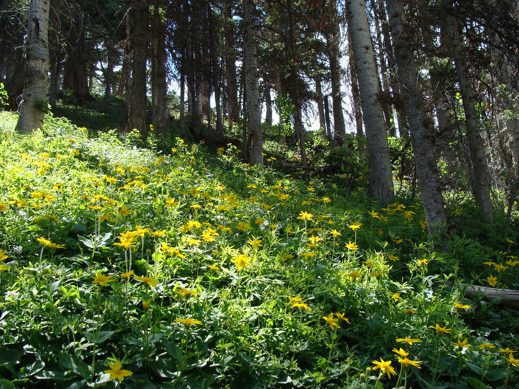 Horsethief TrialHiking · ~5 min drivePhoto: iagoarchangel, CC BY-SA 2.0 (via Flickr)
 Portland TrailHiking · ~6 min drivePhoto: Luis in Denver, CC BY 2.0 (via Flickr)Dexter Creek TrailHiking · ~3 min drivePhoto: iagoarchangel, CC BY-SA 2.0 (via Flickr)
 Lower Cascade Falls TrailHiking · ~7 min drivePhoto: lamblukas, CC BY 2.0 (via Flickr)
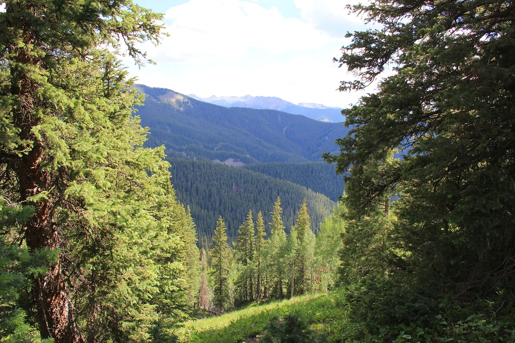 CourthouseHiking · ~9 min drivePhoto: daveynin, CC BY 2.0 (via Flickr)Upper Cascade Falls TrailHiking · ~7 min drivePhoto: lamblukas, CC BY 2.0 (via Flickr)
 Wildhorse PeakHiking · ~9 min drivePhoto: Jacob Montgomery, CC BY-SA 3.0 (via Wikimedia Commons)
Map and trail data © OpenStreetMap contributors

