Ouray RV park
Campground
Campground · 2.0 mi from the trail
 Photo: iagoarchangel, CC BY-SA 2.0 (via Flickr)
Caution today
Agency alerts are in effect for this area; weather is marginal · USFS, OpenWeather · checked 6 h ago
Closure in the area
There's a closure order in Grand Mesa, Uncompahgre and Gunnison National Forests. It doesn't name Dexter Creek Trail, so check the source for the area it covers (2 listed).
Gold Mountain Wildfire Roads and Trails Closure Order v 4.0
Agency closure covering Grand Mesa, Uncompahgre and Gunnison National Forests · USFS · Grand Mesa, Uncompahgre and Gunnison National Forests
Ophir Pass Road Closure
Agency closure covering Grand Mesa, Uncompahgre and Gunnison National Forests · USFS · Grand Mesa, Uncompahgre and Gunnison National Forests
Potter Basin Road Closure Order
Agency alert covering Grand Mesa, Uncompahgre and Gunnison National Forests · USFS · Grand Mesa, Uncompahgre and Gunnison National Forests
Beaver Park Road Closure Order
Agency alert covering Grand Mesa, Uncompahgre and Gunnison National Forests · USFS · Grand Mesa, Uncompahgre and Gunnison National Forests
TERMINATION OF ORDER - FIRE RESTRICTIONS
Agency alert covering Grand Mesa, Uncompahgre and Gunnison National Forests · USFS · Grand Mesa, Uncompahgre and Gunnison National Forests
As of · Source: USFS · Grand Mesa, Uncompahgre and Gunnison National Forests. Agencies don't list every closure — check before you go.
Dexter Creek Trail is a 4.5-mile out-and-back trail located in Colorado near Ouray, managed by the USFS Ouray Ranger District. This moderate day hike follows Dexter Creek through the San Juan Mountains, offering hikers a chance to explore the scenic backcountry near the historic mining town of Ouray. The trail traverses alpine terrain with views of the surrounding peaks and follows the creek for much of the route. As an out-and-back hike, visitors can turn around at any point that suits their fitness level and available time. The trailhead is accessible from the Ouray area, making it a popular option for those seeking a half-day or full-day excursion. The trail is maintained by the Ouray Ranger District of the US Forest Service. Summer and early fall are the best seasons for hiking, as snow and creek crossings may present challenges during spring runoff and winter months. This trail offers a rewarding experience for hikers looking to experience the natural beauty of the San Juan Mountains without committing to a lengthy backpacking trip.
Ouray RV park
Campground
Smuggler Union Tramhouse
Attraction
Places © OpenStreetMap contributors
More in TellurideNot on Roamze yet. Their page has how to reach them.
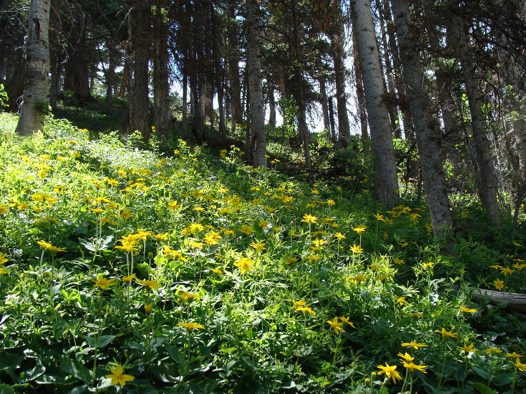 Horsethief TrialHikingPhoto: iagoarchangel, CC BY-SA 2.0 (via Flickr)0.8 mi
Source: Roamze catalog (indexable pages within 10 miles, PostGIS distance)
Dexter CreekHiking · Next doorPhoto: iagoarchangel, CC BY-SA 2.0 (via Flickr)Horsethief TrialHiking · ~1 min drivePhoto: iagoarchangel, CC BY-SA 2.0 (via Flickr) Upper Cascade Falls TrailHiking · ~4 min drivePhoto: lamblukas, CC BY 2.0 (via Flickr)
 Wildhorse PeakHiking · ~7 min drivePhoto: Jacob Montgomery, CC BY-SA 3.0 (via Wikimedia Commons)Lower Cascade Falls TrailHiking · ~4 min drivePhoto: lamblukas, CC BY 2.0 (via Flickr)
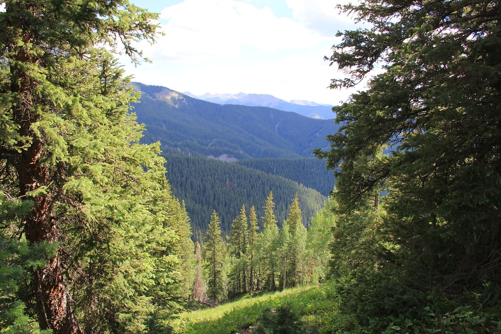 CourthouseHiking · ~12 min drivePhoto: daveynin, CC BY 2.0 (via Flickr)
 Portland TrailHiking · ~5 min drivePhoto: Luis in Denver, CC BY 2.0 (via Flickr)
Also worth it near here
 Uncompahgre River WalkCross-country skiing · ~3 min drivePhoto: Ken Lund from Reno, Nevada, USA, CC BY-SA 2.0 (via Wikimedia Commons)
 Ouray (Ice/Mixed)Rock climbing · ~5 min drivePhoto: Sale Family Memories, CC BY 2.0 (via Flickr)
Map and trail data © OpenStreetMap contributors
