Amphitheater Campground
Campground
Campground · 3.2 mi from the trail
Closure in the area
There's a closure order in Grand Mesa, Uncompahgre and Gunnison National Forests. It doesn't name Difficulty Creek, so check the source for the area it covers (2 listed).
Gold Mountain Wildfire Roads and Trails Closure Order v 4.0
Agency closure covering Grand Mesa, Uncompahgre and Gunnison National Forests · USFS · Grand Mesa, Uncompahgre and Gunnison National Forests
Ophir Pass Road Closure
Agency closure covering Grand Mesa, Uncompahgre and Gunnison National Forests · USFS · Grand Mesa, Uncompahgre and Gunnison National Forests
Potter Basin Road Closure Order
Agency alert covering Grand Mesa, Uncompahgre and Gunnison National Forests · USFS · Grand Mesa, Uncompahgre and Gunnison National Forests
Beaver Park Road Closure Order
Agency alert covering Grand Mesa, Uncompahgre and Gunnison National Forests · USFS · Grand Mesa, Uncompahgre and Gunnison National Forests
TERMINATION OF ORDER - FIRE RESTRICTIONS
Agency alert covering Grand Mesa, Uncompahgre and Gunnison National Forests · USFS · Grand Mesa, Uncompahgre and Gunnison National Forests
As of · Source: USFS · Grand Mesa, Uncompahgre and Gunnison National Forests. Agencies don't list every closure — check before you go.
Difficulty Creek is a mountain biking route in Colorado's Uncompahgre Wilderness, within the Ouray Ranger District of the Grand Mesa, Uncompahgre and Gunnison National Forests. The Forest Service manages the land, and the route lies about 3.7 miles long, rising from roughly 11,926 feet to about 11,989 feet, with the steepest stretch at about 2.3 miles in, where the grade reaches 25%. The climb is a short, steep one. The route starts near 11,926 feet and peaks at about 11,989 feet, with the most challenging section coming in the middle. That makes it a compact ride for a day in the wilderness, rather than a long-distance outing. The Difficulty Creek Trail, a hiking route, is about 1.5 miles away, and the Mill Creek Wall climbing area is about 1.9 miles off. The Cutler Creek Trail is about 2.1 miles away, and Amphitheater Campground is about 3.2 miles away for anyone planning an overnight stay.
Amphitheater Campground
Campground
Smuggler Union Tramhouse
Attraction
Places © OpenStreetMap contributors
More in TellurideNot on Roamze yet. Their page has how to reach them.
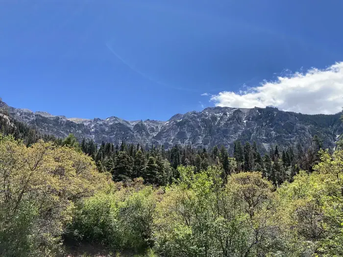 Amphitheater (co)CampingPhoto: Recreation.gov (RIDB) / public domain3.3 mi
 Henson CreekCanoeingPhoto: Jeffrey Beall, CC BY 4.0 (via Wikimedia Commons)9.8 mi
Source: Roamze catalog (indexable pages within 10 miles, PostGIS distance)
 Middle CanyonMountain biking · ~7 min drivePhoto: John Sowell, CC BY-SA 4.0 (via Wikimedia Commons)
 Bear Creek-South ForkMountain biking · ~7 min drivePhoto: robert thigpen from diboll, texas, CC BY-SA 2.0 (via Wikimedia Commons)
Map and trail data © OpenStreetMap contributors
