West Fork Cimarron Dispersed
Campground
Campground · 0.4 mi from the trail
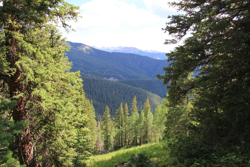 Photo: daveynin, CC BY 2.0 (via Flickr)
Caution today
Agency alerts are in effect for this area; weather is marginal · USFS, OpenWeather · checked 9 h ago
Closure in the area
There's a closure order in Grand Mesa, Uncompahgre and Gunnison National Forests. It doesn't name Courthouse, so check the source for the area it covers (2 listed).
Gold Mountain Wildfire Roads and Trails Closure Order v 4.0
Agency closure covering Grand Mesa, Uncompahgre and Gunnison National Forests · USFS · Grand Mesa, Uncompahgre and Gunnison National Forests
Ophir Pass Road Closure
Agency closure covering Grand Mesa, Uncompahgre and Gunnison National Forests · USFS · Grand Mesa, Uncompahgre and Gunnison National Forests
TERMINATION OF ORDER - FIRE RESTRICTIONS
Agency alert covering Grand Mesa, Uncompahgre and Gunnison National Forests · USFS · Grand Mesa, Uncompahgre and Gunnison National Forests
Dallas Area Closure order
Agency alert covering Grand Mesa, Uncompahgre and Gunnison National Forests · USFS · Grand Mesa, Uncompahgre and Gunnison National Forests
Island Lake Road Closure
Agency alert covering Grand Mesa, Uncompahgre and Gunnison National Forests · USFS · Grand Mesa, Uncompahgre and Gunnison National Forests
As of · Source: USFS · Grand Mesa, Uncompahgre and Gunnison National Forests. Agencies don't list every closure — check before you go.
Courthouse is an 11-mile out-and-back hike in Colorado's Uncompahgre Wilderness, within the Ouray Ranger District of the Grand Mesa, Uncompahgre and Gunnison National Forests. The trail climbs from about 8,168 feet to 11,014 feet, a gain of 545 feet, and is rated hard. The Forest Service manages the land, and the trail is not accessible. The route is natural-surfaced and allows horses but not bikes. The parking area is named Courthouse, and the trail is open year-round. West Fork Cimarron Dispersed campground sits about 0.4 miles away, and the Courthouse Mountain hike is about 0.5 miles off. Coxcomb Peak and West Fork Sno, a cross-country ski area, are both about 1.3 miles away.
West Fork Cimarron Dispersed
Campground
Smuggler Union Tramhouse
Attraction
Places © OpenStreetMap contributors
More in TellurideNot on Roamze yet. Their page has how to reach them.
Photo: daveynin, CC BY 2.0 (via Flickr)Courthouse Mountain
Next door
1.76-mile out-and-back trail in Colorado with 831 ft elevation gain.
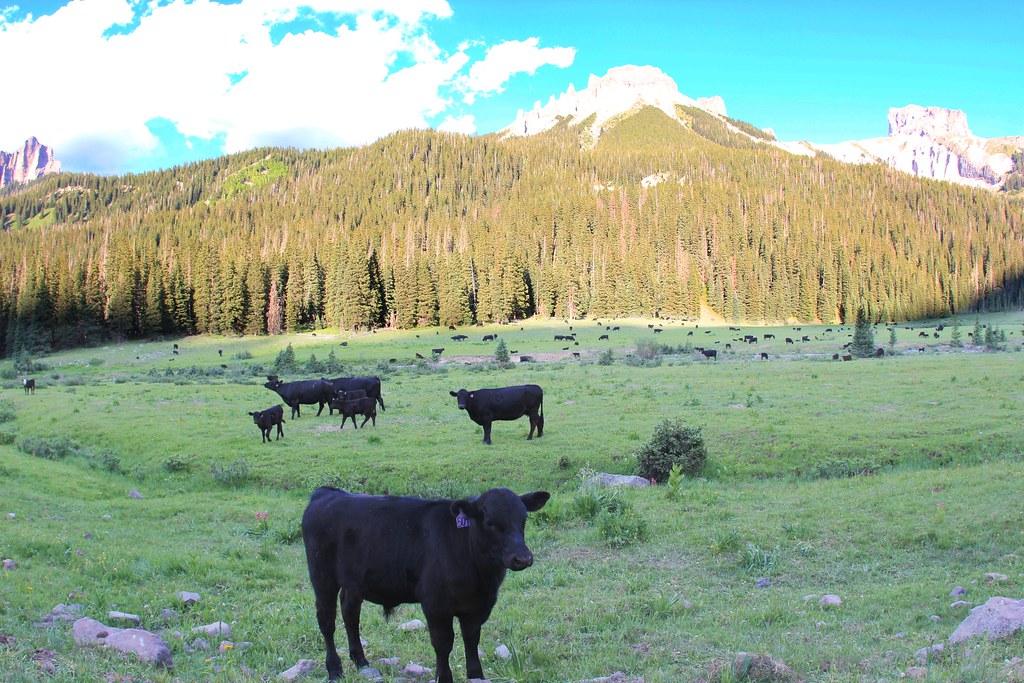 Photo: daveynin, CC BY 2.0 (via Flickr)
OWL CREEK PASS SNO
~4 min drive
23.82-mile out-and-back trail in Colorado with 2,826 ft elevation gain/loss
Photo: daveynin, CC BY 2.0 (via Flickr)OLD OWL CREEK SPUR B
~4 min drive
2.56-mile out-and-back trail in Colorado with 752 ft gain and 10,005 ft max elevation.
 Photo: daveynin, CC BY 2.0 (via Flickr)
Old Owl Creek Trail
~5 min drive
6.38-mile out-and-back trail in Colorado with 2,536 ft elevation gain.
Photo: daveynin, CC BY 2.0 (via Flickr)STEALEY MOUNTAIN SPUR
~4 min drive
3.04-mile out-and-back trail in Colorado with 1,530 ft gain/loss and a max elevation of 9,766 ft.
Photo: daveynin, CC BY 2.0 (via Flickr)NATE CREEK
~6 min drive
14.04-mile out-and-back trail in Colorado with 4,697 ft elevation gain and loss.
HIKE
Porphyry Basin
~5 min drive
2.17-mile out-and-back trail in Colorado with 861 ft elevation gain.
 Photo: John Sowell, CC BY-SA 4.0 (via Wikimedia Commons)
Wetterhorn Peak Trail #256
~11 min drive
2.62-mile out-and-back to Wetterhorn Peak with 1,304 ft gain
HIKE
Stealey Mountain North
~3 min drive
4.26-mile out-and-back trail in Colorado reaching 9,982 ft.
 Photo: iagoarchangel, CC BY-SA 2.0 (via Flickr)
Dexter Creek Trail
~12 min drive
9.0 mi · Expert
