Daisy Pass 404 Trail
- 20.0 mi
- round trip
- 2,218 ft
- climb
- 11,875 ft
- high point
- Out and back
- route
Is Daisy Pass 404 Trail open right now?
Closure in the area
There's a closure order in Grand Mesa, Uncompahgre and Gunnison National Forests. It doesn't name Daisy Pass 404 Trail, so check the source for the area it covers (2 listed).
Gold Mountain Wildfire Roads and Trails Closure Order v 4.0
Agency closure covering Grand Mesa, Uncompahgre and Gunnison National Forests · USFS · Grand Mesa, Uncompahgre and Gunnison National Forests
Ophir Pass Road Closure
Agency closure covering Grand Mesa, Uncompahgre and Gunnison National Forests · USFS · Grand Mesa, Uncompahgre and Gunnison National Forests
Potter Basin Road Closure Order
Agency alert covering Grand Mesa, Uncompahgre and Gunnison National Forests · USFS · Grand Mesa, Uncompahgre and Gunnison National Forests
Beaver Park Road Closure Order
Agency alert covering Grand Mesa, Uncompahgre and Gunnison National Forests · USFS · Grand Mesa, Uncompahgre and Gunnison National Forests
TERMINATION OF ORDER - FIRE RESTRICTIONS
Agency alert covering Grand Mesa, Uncompahgre and Gunnison National Forests · USFS · Grand Mesa, Uncompahgre and Gunnison National Forests
As of · Source: USFS · Grand Mesa, Uncompahgre and Gunnison National Forests. Agencies don't list every closure — check before you go.
Daisy Pass 404 Trail is a 10-mile out-and-back hike in the Gunnison Ranger District of the Grand Mesa, Uncompahgre and Gunnison National Forests in Colorado, managed by the Forest Service. The trail is rated hard, with a one-way climb of about 2,200 feet from a low point of roughly 9,780 feet to a high of about 11,875 feet. The out-and-back format makes it easy to plan, with the turnaround point about 5 miles from the start. The trail gives access to the Daisy Pass area, and the Forest Service describes it as a straightforward route with a defined endpoint. Hikers should bring plenty of water and check current trail conditions before heading out, as weather at this elevation can change quickly. Horses are allowed on the trail, but bikes are not. Poverty Gulch Camping Area is about half a mile away, and Slate River Camping Area is about 1.5 miles off. Yule Pass and Washington Gulch, both hikes, are within about 2.4 miles.
Go with a guide
- Mineral Belt Trail Guided WalkNexPM AI · $25 per person · 47 mi away
- Maroon Bells Guide and Outfitters18 mi away
- Poverty Gulch Camping AreaCamping0.6 mi
- Slate River Camping AreaCamping1.5 mi
 Yule PassHikingPhoto: GSEC, CC BY 2.0 (via Flickr)2.3 mi
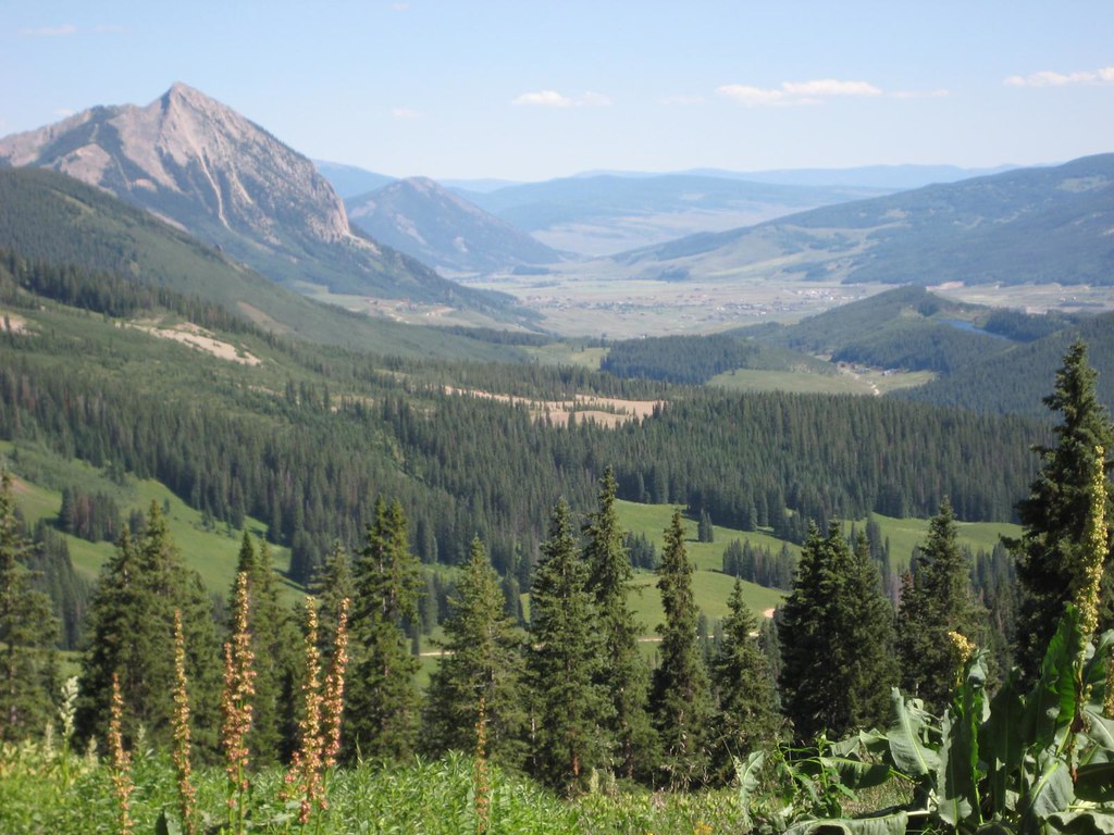 Washington GulchHikingPhoto: GSEC, CC BY 2.0 (via Flickr)2.4 mi
- Crested ButteRock climbing4.3 mi
- Ruby Anthracite CreekCanoeing6.6 mi
 Slate RiverCanoeingPhoto: Jeffrey Beall, CC BY 3.0 (via Wikimedia Commons)6.9 mi
- Skyland BouldersRock climbing8.6 mi
Source: Roamze catalog (indexable pages within 10 miles, PostGIS distance)
- Yule PassHiking · ~4 min drivePhoto: GSEC, CC BY 2.0 (via Flickr)
- Washington GulchHiking · ~4 min drivePhoto: GSEC, CC BY 2.0 (via Flickr)
 Daisy Pass Blue LakeHiking · ~6 min drivePhoto: Kyle Watson Photography, CC BY-SA 2.0 (via Flickr)
 Precarious PeakHiking · ~8 min drivePhoto: Jeffrey Pang from Berkeley, CA, USA, CC BY 2.0 (via Wikimedia Commons)
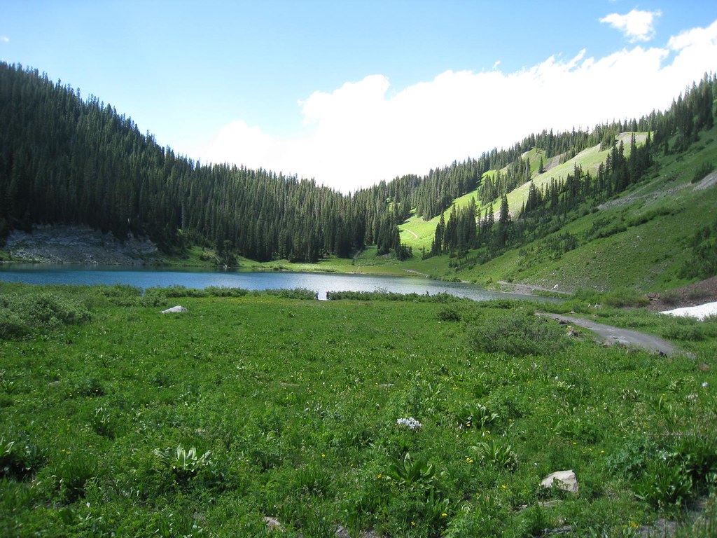 Schofield TrailHiking · ~8 min drivePhoto: GSEC, CC BY 2.0 (via Flickr)
- Gothic Mountain TrailHiking · ~6 min drivePhoto: Jeffrey Pang from Berkeley, CA, USA, CC BY 2.0 (via Wikimedia Commons)
 Upper Peeler LakesHiking · ~7 min drivePhoto: Kyle Watson Photography, CC BY-SA 2.0 (via Flickr)
 Treasury MountainHiking · ~10 min drivePhoto: The Greater Southwestern Exploration Company from Long Beach, California, United States, CC BY 2.0 (via Wikimedia Commons)
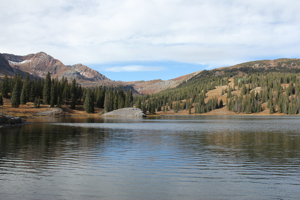 ScarpHiking · ~8 min drivePhoto: Jeffrey Beall, CC BY-SA 2.0 (via Flickr)
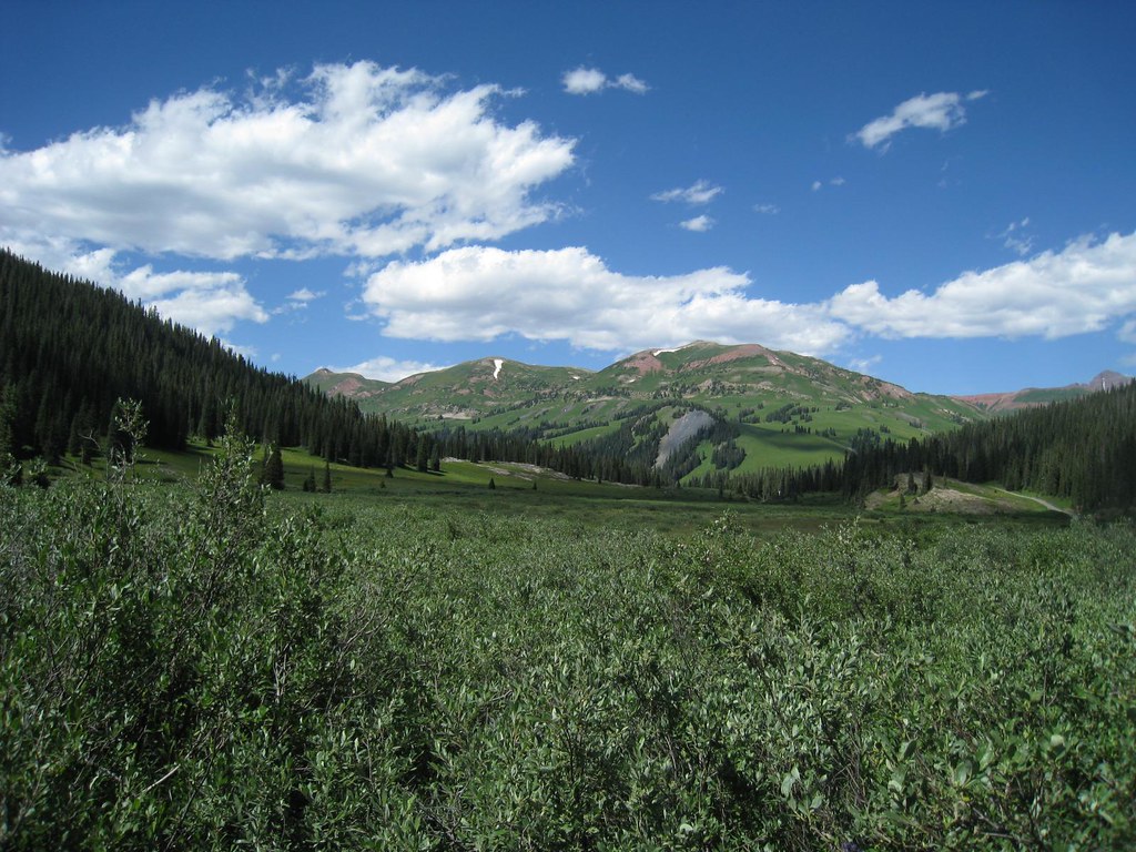 Trail RidersHiking · ~7 min drivePhoto: GSEC, CC BY 2.0 (via Flickr)
Also worth it near here
 Purple MountainSummit · ~4 min drivePhoto: Jonathan Fox, CC BY-SA 2.0 (via Wikimedia Commons)
 Campsite WG 45Camping · ~6 min drivePhoto: Sheila Sund from Salem, United States, CC BY 2.0 (via Wikimedia Commons)
- Washington Gulch TrailCross-country skiing · ~6 min drivePhoto: Jeffrey Pang from Berkeley, CA, USA, CC BY 2.0 (via Wikimedia Commons)
Map and trail data © OpenStreetMap contributors
