Tall Texan RV Park
Campground
Campground · 2.6 mi from the trail
Canal Trail is a short, easy hike in Colorado, about 1.7 miles from the town of Gunnison. The trail is an out-and-back route that runs about 2.8 miles round trip, with a total climb of 368 feet. The steepest stretch comes early on, within the first 0.08 miles, at about a 3% grade. The trail starts at roughly 7,762 feet and reaches a high point of 7,762 feet, so it's a flat route with a slight rise and fall. Summer is the most comfortable time to go. Typical averages from a nearby weather station run from highs of 76°F in June to 80°F in July, with lows in the mid-40s. Winter is severe, with January highs around 26°F and lows near -6°F. The trail sits within a cluster of outdoor options. The Contour mountain biking route is about half a mile away, and the I-bar to Western and Flow Track trails are within about 1.3 miles. Western State Campus, a climbing area, is also about 1.3 miles off.
Tall Texan RV Park
Campground
Places © OpenStreetMap contributors, Places © Overture Maps Foundation
More in PitkinNot on Roamze yet. Their page has how to reach them.
Source: Roamze catalog (indexable pages within 10 miles, PostGIS distance)
 RidgelineHiking · ~2 min drivePhoto: Ken Lund from Reno, Nevada, USA, CC BY-SA 2.0 (via Wikimedia Commons)Van Tuyl TrailHiking · ~4 min drivePhoto: Ken Lund from Reno, Nevada, USA, CC BY-SA 2.0 (via Wikimedia Commons)
 South Rim TrailHiking · ~5 min drivePhoto: Ken Lund from Reno, Nevada, USA, CC BY-SA 2.0 (via Wikimedia Commons)
 The RidgeHiking · ~7 min drivePhoto: Matt Lavin, CC BY-SA 2.0 (via Flickr)
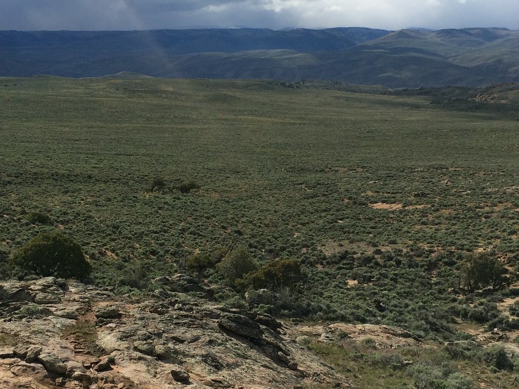 Rocky RidgeHiking · ~9 min drivePhoto: Matt Lavin, CC BY-SA 2.0 (via Flickr)
Best months: June–September. Best months have typical highs of 55–85 °F, lows of 30 °F or warmer (32 °F where the station doesn't record snow), at most one snowy day and no more than 12 wet days.
Jan
26° / -6°
7 wet
Feb
30° / 1°
6 wet
Mar
44° / 14°
5 wet
Apr
56° / 23°
5 wet
May
66° / 30°
6 wet
Jun
76° / 36°
6 wet
Jul
80° / 44°
10 wet
Aug
77° / 43°
11 wet
Sep
70° / 34°
9 wet
Oct
60° / 22°
6 wet
Nov
44° / 11°
5 wet
Dec
28° / -3°
7 wet
Typical high / low (°F) and days with rain or snow, 1991–2020. Measured at Gunnison 3sw, CO, 4.3 mi away at 7,622 ft. This station doesn't record snowfall. Source: NOAA NCEI U.S. Climate Normals 1991–2020.
Map and trail data © OpenStreetMap contributors
