Sun Park Trail
- 4.9 mi
- round trip
- 2,044 ft
- climb
- 11,788 ft
- high point
- Out and back
- route
Is Sun Park Trail open right now?
Closure in the area
There's a closure order in Grand Mesa, Uncompahgre and Gunnison National Forests. It doesn't name Sun Park Trail, so check the source for the area it covers (2 listed).
Gold Mountain Wildfire Roads and Trails Closure Order v 4.0
Agency closure covering Grand Mesa, Uncompahgre and Gunnison National Forests · USFS · Grand Mesa, Uncompahgre and Gunnison National Forests
Ophir Pass Road Closure
Agency closure covering Grand Mesa, Uncompahgre and Gunnison National Forests · USFS · Grand Mesa, Uncompahgre and Gunnison National Forests
Potter Basin Road Closure Order
Agency alert covering Grand Mesa, Uncompahgre and Gunnison National Forests · USFS · Grand Mesa, Uncompahgre and Gunnison National Forests
Beaver Park Road Closure Order
Agency alert covering Grand Mesa, Uncompahgre and Gunnison National Forests · USFS · Grand Mesa, Uncompahgre and Gunnison National Forests
TERMINATION OF ORDER - FIRE RESTRICTIONS
Agency alert covering Grand Mesa, Uncompahgre and Gunnison National Forests · USFS · Grand Mesa, Uncompahgre and Gunnison National Forests
As of · Source: USFS · Grand Mesa, Uncompahgre and Gunnison National Forests. Agencies don't list every closure — check before you go.
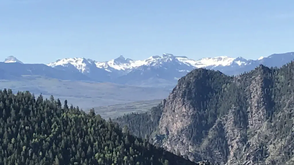
Sun Park Trail is a moderate hike in the Gunnison Ranger District of the Grand Mesa, Uncompahgre and Gunnison National Forests in Colorado, managed by the Forest Service. The trail is about 5 miles long and rises roughly 1,500 feet from its starting point, with a total round-trip gain of about 2,000 feet. The climb is front-loaded, with the steepest stretch at about 0.9 miles in, where the grade reaches 18 percent. The trail is an out-and-back, and the high point is about 11,800 feet. The route starts at roughly 10,700 feet and reaches a low of about 10,578 feet before turning around. Several other trails lie within a few miles, including Beaver Creek Trail and Black Gulch Trail, both about 2 miles away, and April Gulch at about 3 miles. For an overnight stay, Stevens Creek Campground is about 9 miles off.
Local outfitters
- Taylor Park Trading Post34 mi away
- Maroon Bells Guide and Outfitters40 mi away
Not on Roamze yet. Their page has how to reach them.
- Beaver Creek TrailHiking2 mi
- Black Gulch TrailHiking2.1 mi
- SUN CREEKHiking2.3 mi
- April GulchHiking3 mi
- Ohio CreekCanoeing8.2 mi
 Stevens Creek CampgroundCampingPhoto: Recreation.gov (RIDB) / public domain9.3 mi
- Gunnison Lakeside RV Park & CabinsCamping9.4 mi
 Blue Mesa Recreational RanchCampingPhoto: Mshuang2, CC0 (via Wikimedia Commons)9.7 mi
Source: Roamze catalog (indexable pages within 10 miles, PostGIS distance)
 Beaver Creek TrailHiking · ~17 min drivePhoto: flamouroux, CC BY-SA 2.0 (via Flickr)
- Beaver Creek TrailHiking · ~4 min drive
- April GulchHiking · ~5 min drive
 Van Tuyl TrailHiking · ~19 min drivePhoto: Ken Lund from Reno, Nevada, USA, CC BY-SA 2.0 (via Wikimedia Commons)
- Black Gulch TrailHiking · ~4 min drive
- Beaver CreekHiking · ~6 min drive
 The RidgeHiking · ~21 min drivePhoto: Matt Lavin, CC BY-SA 2.0 (via Flickr)
- SUN CREEKHiking · ~4 min drive
- ZigzagHiking · ~7 min drive
 Ponderosa TrailHiking · ~21 min drivePhoto: bradleygee, CC BY 2.0 (via Flickr)


Map and trail data © OpenStreetMap contributors
