Gunnison KOA
Campground
Campground · 1.3 mi from the trail
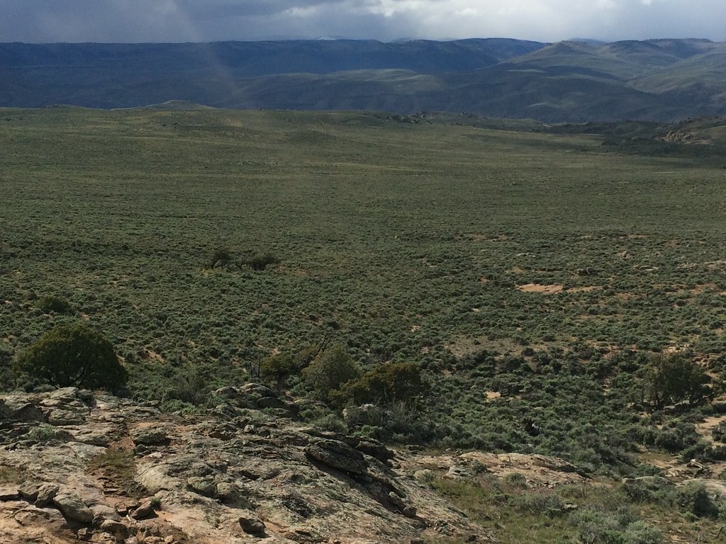
 Photo: Matt Lavin, CC BY-SA 2.0 (via Flickr)
The Ridge is a short, easy hike on Bureau of Land Management land in the Gunnison Field Office, about 0.7 miles long and rising about 380 feet from roughly 7,915 feet to 7,937 feet. The climb is gentle, with the steepest stretch at about 0.36 miles in, and the route is nearly flat at the top. Summer is the most comfortable time to go. Typical averages from a nearby weather station in Gunnison show July highs around 80°F with lows near 44°F, while winter highs stay in the mid-20s and lows drop to about -6°F in January. The Ridge sits among a cluster of other outdoor spots. The Tailpipe mountain biking trail is about 0.2 miles away, and the Kill Hill Bouldering Area and Quarter Inch Master Area are within half a mile. For an overnight stay, Gunnison KOA is about 1.3 miles off.
Gunnison KOA
Campground
Wapiti Ridge Saloon
Bar
Places © OpenStreetMap contributors, Places © Overture Maps Foundation
More in PitkinNot on Roamze yet. Their page has how to reach them.
Kill Hill Bouldering AreaRock climbingPhoto: Matt Lavin, CC BY-SA 2.0 (via Flickr)0.3 miSource: Roamze catalog (indexable pages within 10 miles, PostGIS distance)
 Rocky RidgeHiking · ~3 min drivePhoto: Matt Lavin, CC BY-SA 2.0 (via Flickr)
 RidgelineHiking · ~7 min drivePhoto: Ken Lund from Reno, Nevada, USA, CC BY-SA 2.0 (via Wikimedia Commons)
 South Rim TrailHiking · ~12 min drivePhoto: Ken Lund from Reno, Nevada, USA, CC BY-SA 2.0 (via Wikimedia Commons)Van Tuyl TrailHiking · ~6 min drivePhoto: Ken Lund from Reno, Nevada, USA, CC BY-SA 2.0 (via Wikimedia Commons)
 Dillon Pinnacles TrailHiking · ~28 min drivePhoto: AndreyZharkikh, CC BY 2.0 (via Flickr)
 Beaver Creek TrailHiking · ~8 min drivePhoto: flamouroux, CC BY-SA 2.0 (via Flickr)
Best months: June–September. Best months have typical highs of 55–85 °F, lows of 30 °F or warmer (32 °F where the station doesn't record snow), at most one snowy day and no more than 12 wet days.
Jan
26° / -6°
7 wet
Feb
30° / 1°
6 wet
Mar
44° / 14°
5 wet
Apr
56° / 23°
5 wet
May
66° / 30°
6 wet
Jun
76° / 36°
6 wet
Jul
80° / 44°
10 wet
Aug
77° / 43°
11 wet
Sep
70° / 34°
9 wet
Oct
60° / 22°
6 wet
Nov
44° / 11°
5 wet
Dec
28° / -3°
7 wet
Typical high / low (°F) and days with rain or snow, 1991–2020. Measured at Gunnison 3sw, CO, 1.3 mi away at 7,622 ft. This station doesn't record snowfall. Source: NOAA NCEI U.S. Climate Normals 1991–2020.
Map and trail data © OpenStreetMap contributors


