Tall Texan RV Park
Campground
Campground · 4.5 mi from the trail
 Photo: Ken Lund from Reno, Nevada, USA, CC BY-SA 2.0 (via Wikimedia Commons)
South Rim Trail is a hard hike of about 5.9 miles in an out-and-back shape, rising from 8,516 feet to 8,872 feet on Bureau of Land Management land in the Gunnison Field Office in western Colorado. The route is roughly 2.9 miles one way, and the climb adds up to 1,460 feet of gain in each direction, totaling 2,728 feet for the full trip. The trail is steady from start to finish, with the steepest stretch at about 1.2 miles in, where the grade reaches 16%. The estimated time is about 3.5 hours, and the trail's high point sits just below 8,900 feet. Summer is the most comfortable season. Typical averages from the nearby Cochetopa Creek weather station run to highs around 75 to 80°F in June and July, with July and August bringing the most wet days of the year. That station sits about 866 feet lower than the trail, so temperatures on the trail run cooler. The trail sits within a cluster of mountain biking routes. Sunny D is about half a mile away and Music Rocks about 0.9 miles. The Corridor climbing area is about 2.6 miles off, and Tall Texan RV Park offers camping about 4.5 miles away.
Tall Texan RV Park
Campground
Waunita Pass
Viewpoint
Places © OpenStreetMap contributors
More in PitkinNot on Roamze yet. Their page has how to reach them.
Daily highs and lows, wind and the chance of precipitation at the summit and route start for the next 7 days, from the Open-Meteo model.
Source: Roamze catalog (indexable pages within 10 miles, PostGIS distance)
 RidgelineHiking · ~7 min drivePhoto: Ken Lund from Reno, Nevada, USA, CC BY-SA 2.0 (via Wikimedia Commons)Van Tuyl TrailHiking · ~9 min drivePhoto: Ken Lund from Reno, Nevada, USA, CC BY-SA 2.0 (via Wikimedia Commons)
 The RidgeHiking · ~12 min drivePhoto: Matt Lavin, CC BY-SA 2.0 (via Flickr)
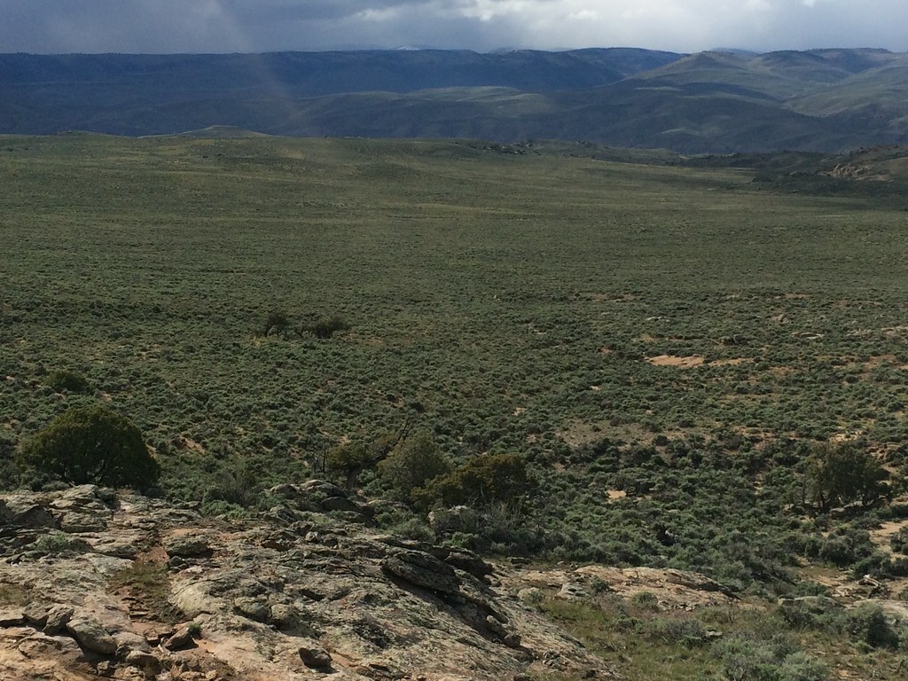 Rocky RidgeHiking · ~14 min drivePhoto: Matt Lavin, CC BY-SA 2.0 (via Flickr)
Best months: June–September. Best months have typical highs of 55–85 °F, lows of 30 °F or warmer (32 °F where the station doesn't record snow), at most one snowy day and no more than 12 wet days.
Jan
28° / -4°
8 wet · 8 snow
Feb
32° / 2°
7 wet · 7 snow
Mar
44° / 14°
7 wet · 6 snow
Apr
55° / 22°
7 wet · 4 snow
May
65° / 29°
7 wet · 1 snow
Jun
75° / 36°
6 wet
Jul
80° / 44°
10 wet
Aug
78° / 42°
11 wet
Sep
72° / 33°
8 wet
Oct
60° / 22°
6 wet · 2 snow
Nov
44° / 11°
6 wet · 5 snow
Dec
30° / -1°
7 wet · 7 snow
Typical high / low (°F) and days with rain or snow, 1991–2020. Measured at Cochetopa Creek, CO, 9 mi away at 8,006 ft. The station sits about 900 ft lower than this place, so expect it a little cooler here. Source: NOAA NCEI U.S. Climate Normals 1991–2020.
About 2.9 mi round trip.
About 2,728 ft of climbing round trip.
It is rated hard.
About 1.5 hours round trip.
3: Ridge (East) Trail, Northwoods Trail and South Rim Trail.
Map and trail data © OpenStreetMap contributors
