Palisades Senior RV Park
Campground
Campground · 0.7 mi from the trail
 Photo: Ken Lund from Reno, Nevada, USA, CC BY-SA 2.0 (via Wikimedia Commons)
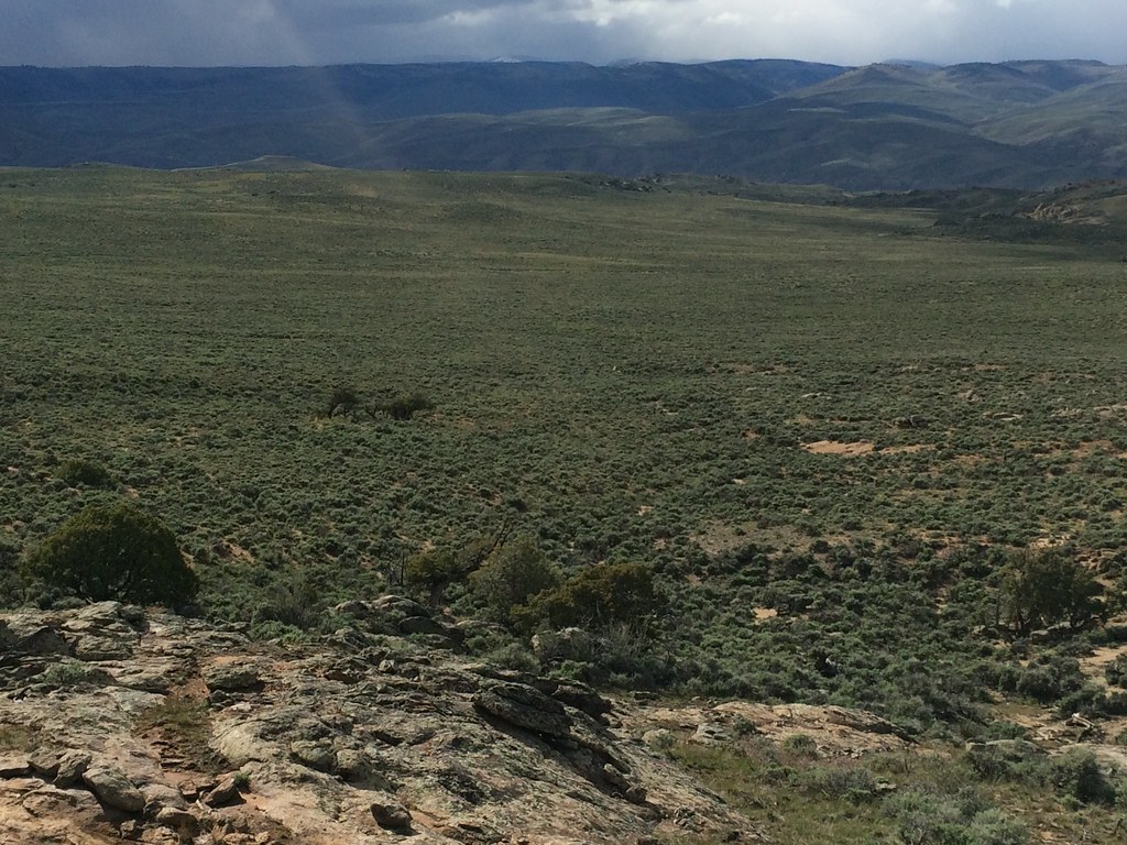
Van Tuyl Trail is an easy hike of about 2.9 miles with a total elevation gain of 65 feet, running between roughly 7,700 and 7,740 feet. It sits just under a mile from Gunnison, Colorado, making it a short outing for anyone staying in town. The trail is a gentle walk with a slight rise of about 65 feet and a small dip of about 71 feet along the way. It starts at about 7,708 feet and peaks near 7,741 feet. The trip takes about an hour. Summer is the most comfortable time to go. Typical averages from a nearby weather station in Gunnison show July highs around 80°F and lows near 44°F, while winter highs stay in the mid-20s with lows well below zero. Other options sit right along the trail. Palisades Senior RV Park is about 0.7 miles away, and climbers can head to Roadside Boulder or Gate View Canyon, both about 0.9 miles off. Van Tuyl Nordic, a cross-country ski area, is also within about a mile.
Palisades Senior RV Park
Campground
Places © OpenStreetMap contributors
More in PitkinNot on Roamze yet. Their page has how to reach them.
 Van Tuyl NordicCross-country skiingPhoto: Jeffrey Beall, CC BY-SA 3.0 (via Wikimedia Commons)0.9 mi
Source: Roamze catalog (indexable pages within 10 miles, PostGIS distance)
RidgelineHiking · ~2 min drivePhoto: Ken Lund from Reno, Nevada, USA, CC BY-SA 2.0 (via Wikimedia Commons) The RidgeHiking · ~6 min drivePhoto: Matt Lavin, CC BY-SA 2.0 (via Flickr)
 South Rim TrailHiking · ~9 min drivePhoto: Ken Lund from Reno, Nevada, USA, CC BY-SA 2.0 (via Wikimedia Commons)
 Rocky RidgeHiking · ~8 min drivePhoto: Matt Lavin, CC BY-SA 2.0 (via Flickr)
 Beaver Creek TrailHiking · ~12 min drivePhoto: flamouroux, CC BY-SA 2.0 (via Flickr)
Best months: June–September. Best months have typical highs of 55–85 °F, lows of 30 °F or warmer (32 °F where the station doesn't record snow), at most one snowy day and no more than 12 wet days.
Jan
26° / -6°
7 wet
Feb
30° / 1°
6 wet
Mar
44° / 14°
5 wet
Apr
56° / 23°
5 wet
May
66° / 30°
6 wet
Jun
76° / 36°
6 wet
Jul
80° / 44°
10 wet
Aug
77° / 43°
11 wet
Sep
70° / 34°
9 wet
Oct
60° / 22°
6 wet
Nov
44° / 11°
5 wet
Dec
28° / -3°
7 wet
Typical high / low (°F) and days with rain or snow, 1991–2020. Measured at Gunnison 3sw, CO, 2.6 mi away at 7,622 ft. This station doesn't record snowfall. Source: NOAA NCEI U.S. Climate Normals 1991–2020.
Map and trail data © OpenStreetMap contributors
