Kaspian Campground
Campground
0.4 mi from the trail
Eagle Rock is a summit of 6,509 feet in California's Lake Tahoe Basin Management Unit, within the Nevada-Yuba-Placer Unit. The nearest town is Sunnyside-Tahoe City, about 3 miles away. Summer is the most comfortable time to visit. Typical July highs reach about 77°F with lows near 46°F, based on averages from the nearby Tahoma weather station at a similar elevation. Winter is cold, with January highs around 37°F. The Eagle Rock Trail starts just 0.1 mile from the summit. Kaspian Campground and Blackwood Creek Trail are both about 0.4 mile away. Lake Tahoe - West Shore, roughly a mile off, offers lake fishing.
Where it is: Lake Tahoe Basin Management Unit · Nevada-Yuba-Placer Unit
Near: Sunnyside-Tahoe City, California · 2.8 mi
Best months: May–October. Best months have typical highs of 55–85 °F, lows of 30 °F or warmer (32 °F where the station doesn't record snow), at most one snowy day and no more than 12 wet days.
Jan
37°
22°
Feb
38°
22°
Mar
43°
25°
Apr
49°
27°
May
58°
34°
Jun
69°
40°
Jul
77°
46°
Aug
76°
46°
Sep
69°
41°
Oct
58°
34°
Nov
44°
27°
Dec
38°
21°
Typical high / low (°F) and days with rain or snow, 1991–2020. Measured at Tahoma, CA, 3.8 mi away at 6,315 ft. This station doesn't record snowfall. Source: NOAA NCEI U.S. Climate Normals 1991–2020.
Been here? Tell people how it was.
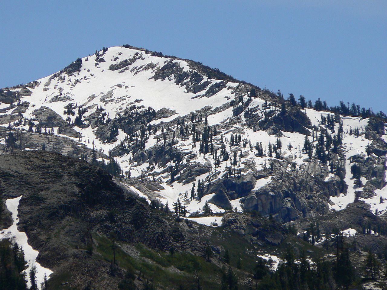

 Eagle Rock TrailHikingPhoto: Rojer — CC BY 2.0 (via Flickr)0.1 mi
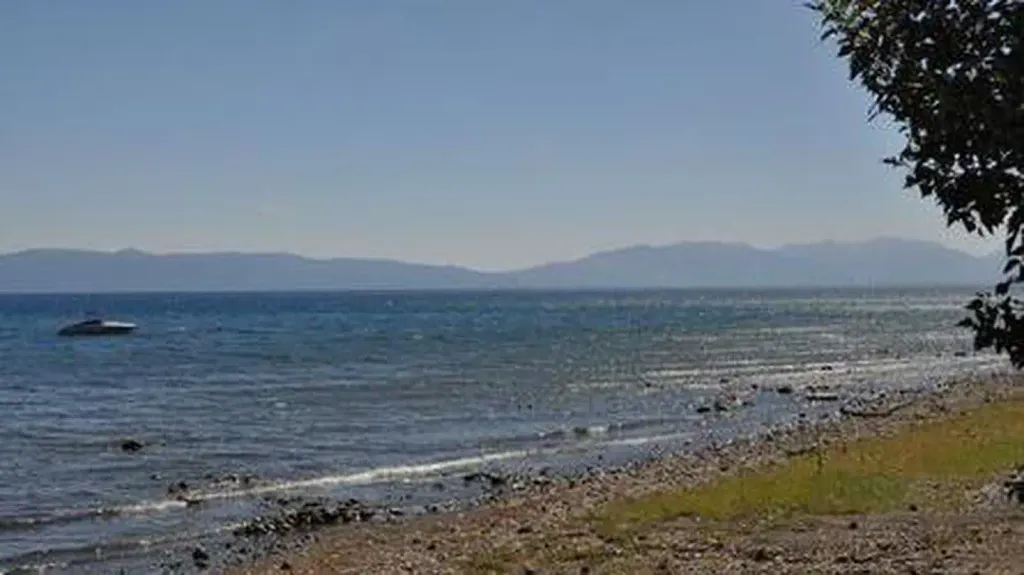 Kaspian CampgroundCampingPhoto: Recreation.gov (RIDB) / public domain0.4 mi
 Blackwood Creek TrailHikingPhoto: jrtaylor08, CC BY-SA 3.0 (via Wikimedia Commons)0.4 mi
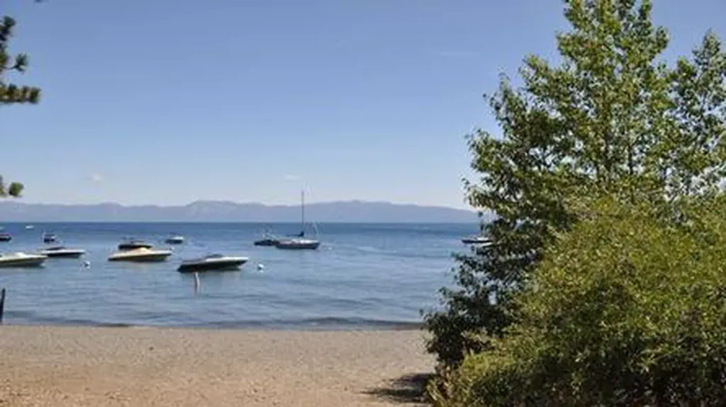 William Kent CampgroundCampingPhoto: Recreation.gov (RIDB) / public domain2.1 mi
 Phipps PeakSummitPhoto: Tim Berger, CC BY 2.0 (via Wikimedia Commons)~18 min driveTells PeakSummitPhoto: Nick Ares from Auburn, CA, United States, CC BY-SA 2.0 (via Wikimedia Commons)~20 min drive
 Tinker KnobSummitPhoto: Tim Berger, CC BY 2.0 (via Wikimedia Commons)~20 min drive
 McConnell PeakSummitPhoto: photo by Travis Higdon, Public domain (via Wikimedia Commons)~21 min drive
 Maggies PeaksSummitPhoto: Phreakdigital (talk · contribs), Public domain (via Wikimedia Commons)~21 min drive
 Silver PeakSummitPhoto: Tahoe Arts and Mountain Culture, CC BY 2.0 (via Wikimedia Commons)~22 min drive
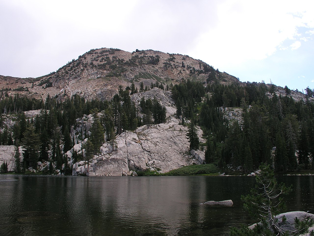 Red PeakSummitPhoto: Tim Berger, CC BY 2.0 (via Wikimedia Commons)~22 min drive
 Mount TallacSummitPhoto: Rabit 115 at English Wikipedia, Public domain (via Wikimedia Commons)~25 min drive
 Rose Knob PeakSummitPhoto: Ken Lund, CC BY-SA 2.5 (via Wikimedia Commons)~29 min drive
 Mount PriceSummitPhoto: Jonathan Fox, CC BY-SA 2.0 (via Wikimedia Commons)~29 min drive
Daily highs and lows, wind and the chance of precipitation at the summit and route start for the next 7 days, from the Open-Meteo model.
6,509 ft (1,984 m).
One: Eagle Rock Trail.
Questions about Eagle Rock: conditions, access, timing. Answers say when something isn't known.
Kaspian Campground
Campground
Places © OpenStreetMap contributors, Places © Overture Maps Foundation
More in Sunnyside-Tahoe City