Jackass Point
At a glance
Jackass Point is a summit of 6,370 feet in the Truckee Ranger District of Tahoe National Forest in California, about 3.4 miles from the town of Truckee. It sits at the center of a cluster of trails and climbing areas, with Donkey Town Trail starting just 0.1 mile away and Coldstream Canyon about 0.3 mile off. Summer is the most comfortable time to visit. Typical averages from a nearby weather station show July highs around 82°F with lows near 44°F and only about two wet days in the month. Winter is cold, with January highs around 41°F and lows near 17°F. Granite Flat campground is about 1.4 miles away, and Donner Creek offers canoeing roughly 2.1 miles out.
- summit
- 6,370 ft
- way up
- 1
- best months
- May–Sep
Where it is: Truckee Ranger District · Tahoe National Forest
Near: Truckee, California · 3.4 mi
Best time to visit Jackass Point
Best months: May–September. Best months have typical highs of 55–85 °F, lows of 30 °F or warmer (32 °F where the station doesn't record snow), at most one snowy day and no more than 12 wet days.
Jan
41°
17°
11 wet
Feb
43°
18°
10 wet
Mar
48°
22°
10 wet
Apr
53°
26°
7 wet
May
63°
33°
6 wet
Jun
73°
38°
3 wet
Jul
82°
44°
2 wet
Aug
81°
42°
2 wet
Sep
74°
36°
2 wet
Oct
63°
29°
4 wet
Nov
49°
23°
7 wet
Dec
39°
17°
10 wet
Typical high / low (°F) and days with rain or snow, 1991–2020. Measured at Donner Mem Sp, CA, 0.9 mi away at 5,937 ft. This station doesn't record snowfall. Source: NOAA NCEI U.S. Climate Normals 1991–2020.
Been here? Tell people how it was.
Map © Mapbox © OpenStreetMap contributors - Bald Mountain6,765 ft · California2 routes2.7 mi away
 Donner Peak8,010 ft · California1 route4.4 mi awayPhoto: Ken Lund, CC BY-SA 2.0 (via Wikimedia Commons)
- Mount Judah8,242 ft · California1 route4.7 mi away
- George R. Stewart Peak7,387 ft · California1 route4.8 mi away
- Mount Stephens7,264 ft · California2 routes5.0 mi away
 Anderson Peak8,687 ft · California1 route5.1 mi awayPhoto: Tim Berger, CC BY 2.0 (via Wikimedia Commons)
 Donkey Town TrailHikingPhoto: sarahstierch, Public Domain Dedication (CC0) (via Flickr)0.1 mi
- Coldstream CanyonRock climbing0.3 mi
- Coldstream Canyon River Boulder IIRock climbing0.3 mi
- JP's TrailHiking0.7 mi
- Granite FlatCamping1.4 mi
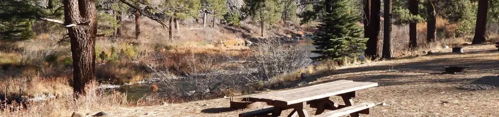 Granite Flat (california)CampingPhoto: Recreation.gov (RIDB) / public domain1.6 mi
- Donner CreekCanoeing2.1 mi
- Cold CreekCanoeing2.2 mi
 Tinker KnobSummitPhoto: Tim Berger, CC BY 2.0 (via Wikimedia Commons)~9 min drive
 Castle PeakSummitPhoto: MiguelVieira, CC BY 2.0 (via Wikimedia Commons)~13 min drive
 Rose Knob PeakSummitPhoto: Ken Lund, CC BY-SA 2.5 (via Wikimedia Commons)~25 min drive
 Mount RoseSummitPhoto: Mr. Richard from Fair Oaks, USA, CC BY 2.0 (via Wikimedia Commons)~29 min drive
 Slide MountainSummitPhoto: Rick Cooper, CC BY 2.0 (via Wikimedia Commons)~32 min drive
 Crystal PeakSummitPhoto: igloo22225, CC BY-SA 4.0 (via Wikimedia Commons)~32 min drive
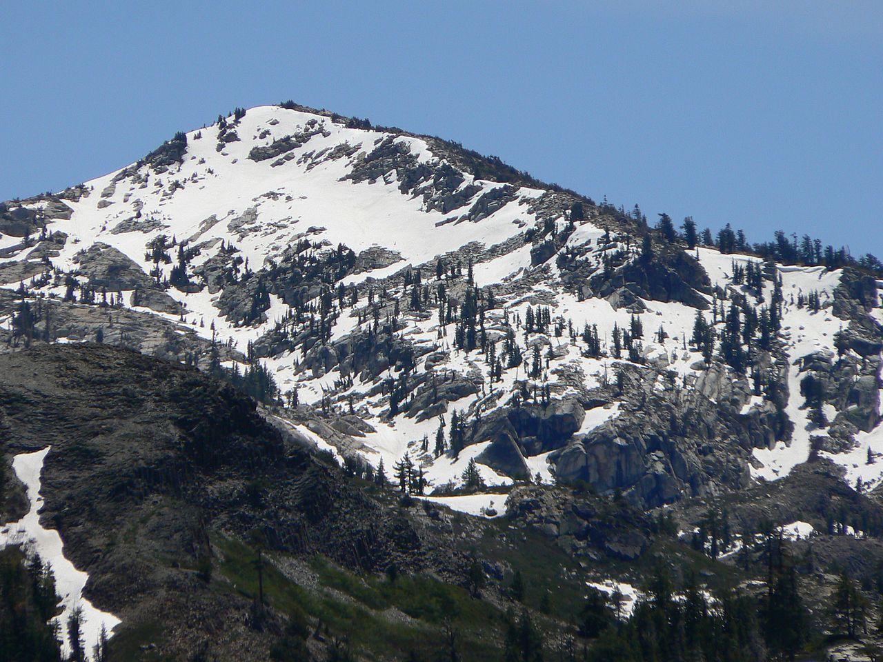 Tells PeakSummitPhoto: Nick Ares from Auburn, CA, United States, CC BY-SA 2.0 (via Wikimedia Commons)~42 min drive
 Phipps PeakSummitPhoto: Tim Berger, CC BY 2.0 (via Wikimedia Commons)~43 min drive
 McConnell PeakSummitPhoto: photo by Travis Higdon, Public domain (via Wikimedia Commons)~43 min drive
 Silver PeakSummitPhoto: Tahoe Arts and Mountain Culture, CC BY 2.0 (via Wikimedia Commons)~45 min drive
Conditions and forecast
Daily highs and lows, wind and the chance of precipitation at the summit and route start for the next 7 days, from the Open-Meteo model.
Questions about Jackass Point
How tall is Jackass Point?
6,370 ft (1,942 m).
How many routes go to the summit of Jackass Point?
One: Donkey Town Trail.
Ask about this place
Questions about Jackass Point: conditions, access, timing. Answers say when something isn't known.
