South Kelsey National Recreation Trail
- 25.4 mi
- one way
- 4,194 ft
- climb
- 5,792 ft
- high point
- Point to point
- route
Is South Kelsey National Recreation Trail open right now?
No closures listed
The Forest Service lists no closures for Six Rivers National Forest.
As of · Source: USFS · Six Rivers National Forest. Agencies don't list every closure — check before you go.
South Kelsey National Recreation Trail is a 25.4-mile point-to-point route in California's Siskiyou Wilderness, within the Gasquet Ranger District of Six Rivers National Forest. The Forest Service manages the land, and the trail crosses wilderness boundaries, so plan on a long, committed day. The route starts at about 4,817 feet and climbs steadily to a high point of 5,792 feet. The total elevation gain is 4,194 feet, and the descent runs about 7,919 feet. The steepest stretch comes at mile 14.5, where the grade reaches 44 percent. The trip takes about 10.5 hours, and the trail is rated expert. Summit Valley lies just 0.8 miles away, and Gunbarrel is about 2.1 miles off. Paddlers can head to Eightmile Creek, roughly 2.8 miles away, and Big Flat campground sits about 6 miles from the trail.
Local outfitters
- Applegate Trail Rides48 mi away
Not on Roamze yet. Their page has how to reach them.
Conditions and forecast on Baldy Peak
Daily highs and lows, wind and the chance of precipitation at the summit and route start for the next 7 days, from the Open-Meteo model.
- Summit ValleyHiking0.8 mi
- GunbarrelHiking2.1 mi
- Eightmile CreekCanoeing2.8 mi
- Mc Clendon FordHiking2.8 mi
- Williams CreekCanoeing3.6 mi
- Quartz CreekCanoeing3.7 mi
- Harrington CreekCanoeing4 mi
- Big FlatCamping6 mi
Source: Roamze catalog (indexable pages within 10 miles, PostGIS distance)
 Boundary Trail 4E50Hiking · ~10 min drivePhoto: chloe_and_trevor, CC BY 4.0 (via Wikimedia Commons)
 Little Bald HillsHiking · ~19 min drivePhoto: BLUE • ǝnןq, CC BY 2.0 (via Flickr)
- ParadiseHiking · ~20 min drivePhoto: BLUE • ǝnןq, CC BY 2.0 (via Flickr)
 Hobbs Wall TrailHiking · ~27 min drivePhoto: Ken Lund, CC BY-SA 2.0 (via Flickr)
 California Coastal TrailHiking · ~26 min drivePhoto: Pussreboots, CC BY 2.0 (via Flickr)
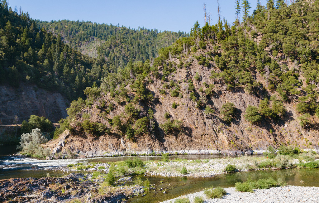 Dillon CreekHiking · ~25 min drivePhoto: Tony Webster, CC BY 2.0 (via Flickr)
 Doe FlatHiking · ~22 min drivePhoto: cm195902, CC BY 2.0 (via Flickr)
 Devil's PunchbowlHiking · ~25 min drivePhoto: Miguel Vieira from Walnut Creek, CA, USA, CC BY 2.0 (via Wikimedia Commons)
- Summit ValleyHiking · ~3 min drive
- Buck Lake (To Clear Cr.)Hiking · ~23 min drivePhoto: Miguel Vieira from Walnut Creek, CA, USA, CC BY 2.0 (via Wikimedia Commons)
Route details
- Distance
- 25.4 mi
- Climbing
- About 4,194 ft
- Summit
- 5,779 ft
- Difficulty
- Expert
- Time
- About 11 hours
Questions about this route
How long is the South Kelsey National Recreation Trail on Baldy Peak?
About 25.4 mi.
How much elevation gain is on the South Kelsey National Recreation Trail?
About 4,194 ft of climbing round trip.
How hard is the South Kelsey National Recreation Trail?
It is rated expert.
How long does the South Kelsey National Recreation Trail take?
About 11 hours round trip.
Map and trail data © OpenStreetMap contributors
