Loading…

Free — you'll pick up right here.
Watch this trail
Sign up to watch it — saving subscribes you to gate, closure and report changes.
California
0.6 mi
Distance
0 ft
Gain
We won't guess. Here is exactly what we do and don't know.
What we do know
Inside Six Rivers National Forest
3 managing-area boundaries mapped — agency alerts for them feed this page automatically.
Boundary data
What's missing
No access route mapped
We don't yet know which road reaches this trailhead, so we can't tell you if it's gated.
Nobody's filed a report here yet — be the first.
Why you'll love it
Bear Wallow
AI-suggested draft · review before you go
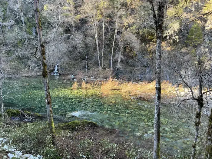
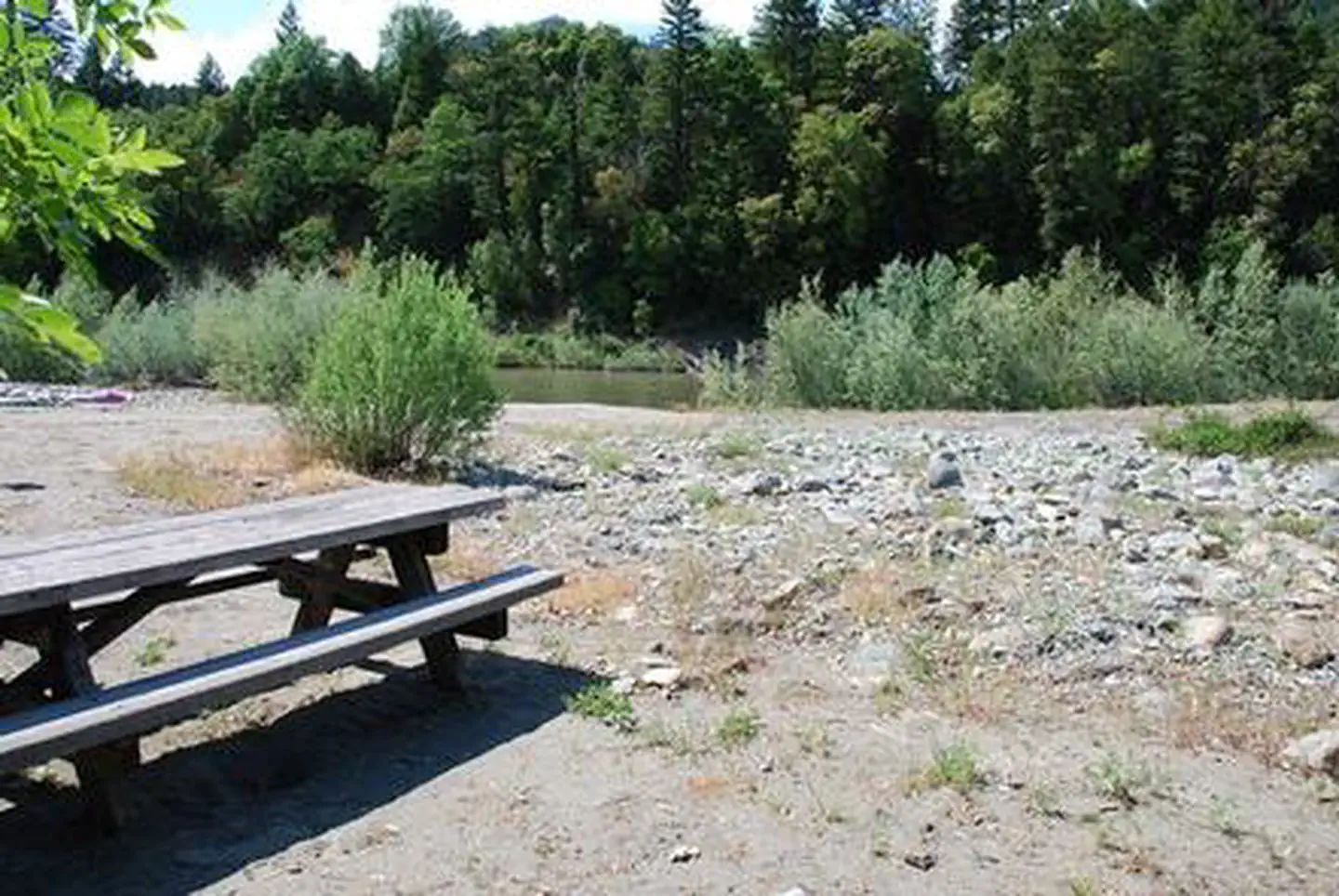
Bear Wallow is a short and accessible trail perfect for a quick nature walk or family outing. This easy trail winds through mixed woodland terrain typical of California's lower elevation zones, offering a peaceful escape into nature without requiring significant elevation gain or technical skill.
West Fork Clear Creek
~5 min drive
Scenic 14.8-mile creek drainage hike with gentle elevation gain.
Gunbarrel
~7 min drive
Short, steady climb through accessible California backcountry.
Devil's Punchbowl
~17 min drive
Steep badlands hike with dramatic geological formations and expansive desert views.
Forks of Blue Creek
~15 min drive
Moderately challenging 15+ mile creek-side trek through California backcountry.
Summit Valley
~10 min drive
Steep 2.24-mile alpine climb with 1,634 ft elevation gain.
Rattlesnake Meadows
~22 min drive
Moderate meadow hike with 1,873 ft elevation gain and alpine views.
Island Lake
~16 min drive
Moderate 6.2-mile alpine lake hike with 1,260 ft elevation gain.
Mc Clendon Ford
~13 min drive
Steep 1.95-mile foothill climb with 879 ft elevation gain.
East Fork Blue Creek
~24 min drive
Moderate creek-side hike with 696 ft gain near Blue Creek drainage.
Buck Lake (To Clear Cr.)
~16 min drive
Moderate 6-mile alpine hike to Clear Creek with 473 ft elevation gain.