South Russian Creek
- 12.1 mi
- round trip
- 2,416 ft
- climb
- 7,041 ft
- high point
- Out and back
- route
Is South Russian Creek open right now?
Alert in the area
The Forest Service lists 2 alerts for Klamath National Forest.
Temporarily closure of approximately 3.5 miles of National Forest System Roads 47N01
Agency alert covering Klamath National Forest · Order 05-05-00-26-08 · USFS · Klamath National Forest
Grayback Road Repairs
Agency alert covering Klamath National Forest · USFS · Klamath National Forest
As of · Source: USFS · Klamath National Forest. Agencies don't list every closure — check before you go.
South Russian Creek is a 12-mile out-and-back hike in the Salmon River Ranger District of Klamath National Forest in California. The trail rises from about 4,640 feet to a high point of about 7,040 feet, which makes it a hard route. The trailhead is at South Russian Trailhead, and the Forest Service manages the land. The climb is a natural-surface trail, and the route is rated hard. Plan on a full day. The trailhead serves as the starting point for the trip, and the route's length and elevation figures are taken from the mapped route and the trail's geometry. Blakes Fork lies about a mile away and Horse Range Trail about two miles. Idlewild campground is about 3.4 miles off, and paddlers can find North Russian Creek about 3.5 miles from the trail.
- Blakes ForkHiking0.8 mi
 Horse Range TrailHikingPhoto: Calaina, CC BY-SA 3.0 (via Wikimedia Commons)1.9 mi
 Horse Range Creek TrailHikingPhoto: Calaina, CC BY-SA 3.0 (via Wikimedia Commons)2.1 mi
- IdlewildCamping3.4 mi
- North Russian CreekCanoeing3.5 mi
- Trail CreekCamping5.8 mi
- North Fork Salmon RiverCanoeing7.2 mi
- East Fork South Fork Salmon RiverCanoeing7.3 mi
Source: Roamze catalog (indexable pages within 10 miles, PostGIS distance)
- Horse Range TrailHiking · ~3 min drivePhoto: Calaina, CC BY-SA 3.0 (via Wikimedia Commons)
- Horse Range Creek TrailHiking · ~4 min drivePhoto: Calaina, CC BY-SA 3.0 (via Wikimedia Commons)
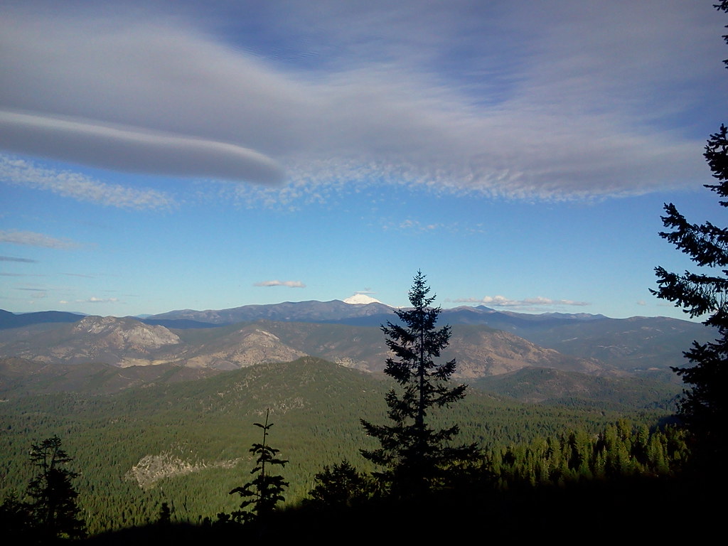 Duck LakeHiking · ~8 min drivePhoto: theforestprimeval, CC BY-SA 2.0 (via Flickr)
- Pacific Crest National Scenic TrailHiking · ~14 min drive
 Little Duck LakeHiking · ~5 min drivePhoto: theforestprimeval, CC BY-SA 2.0 (via Flickr)
- Albert Lake TrailHiking · ~6 min drivePhoto: Calaina, CC BY-SA 3.0 (via Wikimedia Commons)
 Hogan LakeHiking · ~7 min drivePhoto: Calaina, CC BY-SA 3.0 (via Wikimedia Commons)
- North Fork Salmon TrailHiking · ~14 min drive
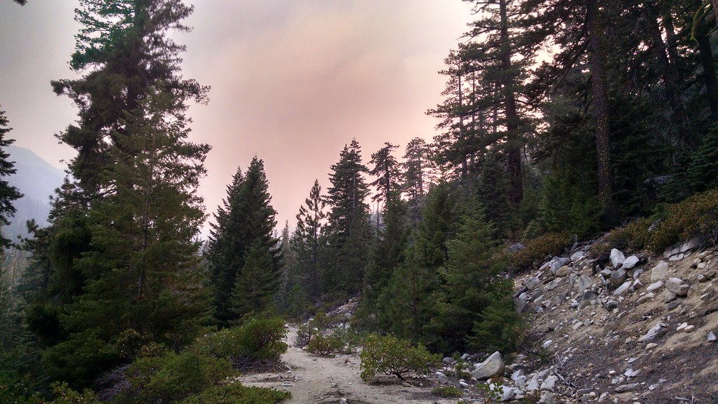 HorseshoeHiking · ~6 min drivePhoto: theforestprimeval, CC BY-SA 2.0 (via Flickr)
- Eaton LakeHiking · ~6 min drivePhoto: theforestprimeval, CC BY-SA 2.0 (via Flickr)


