Blakes Fork
- 2.1 mi
- round trip
- 529 ft
- climb
- 5,410 ft
- high point
- Out and back
- route
Is Blakes Fork open right now?
Alert in the area
The Forest Service lists 2 alerts for Klamath National Forest.
Temporarily closure of approximately 3.5 miles of National Forest System Roads 47N01
Agency alert covering Klamath National Forest · Order 05-05-00-26-08 · USFS · Klamath National Forest
Grayback Road Repairs
Agency alert covering Klamath National Forest · USFS · Klamath National Forest
As of · Source: USFS · Klamath National Forest. Agencies don't list every closure — check before you go.
Blakes Fork is an easy hike of about 2.1 miles in the Salmon River Ranger District of Klamath National Forest in California, managed by the Forest Service. The trail is an out-and-back that gains about 529 feet, starting at roughly 4,867 feet and reaching about 5,410 feet at the high point. The route is natural-surfaced, and the climb is gentle enough to make it a straightforward outing. South Russian Creek lies about 0.8 miles away, and the Horse Range Trail and Horse Range Creek Trail are both within about 2 miles. For an overnight stay, Idlewild campground is about 4.2 miles off.
Keep exploring — more trails worth the drive
 Photo: Calaina, CC BY-SA 3.0 (via Wikimedia Commons)
Horse Range Trail
~3 min drive
1.62-mile out-and-back trail in California with 678 ft elevation gain
 Photo: Calaina, CC BY-SA 3.0 (via Wikimedia Commons)
Horse Range Creek Trail
~4 min drive
4.34-mile out-and-back trail in California with 2,058 ft elevation gain
 Photo: Calaina, CC BY-SA 3.0 (via Wikimedia Commons)
Hogan Lake
~8 min drive
6.72-mile out-and-back hike to Hogan Lake in California with 1,074 ft gain.
HIKE
Pacific Crest National Scenic Trail
~12 min drive
16.1-mile out-and-back trail in California with 5,135 ft elevation gain/loss.
Photo: Calaina, CC BY-SA 3.0 (via Wikimedia Commons)Lipstick Lake
~5 min drive
1.15-mile out-and-back trail to Lipstick Lake in California with 597 ft of elevation gain.
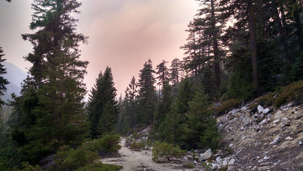 Photo: theforestprimeval, CC BY-SA 2.0 (via Flickr)
Eaton Lake
~6 min drive
2.37-mile out-and-back trail to Eaton Lake in California with 1,196 ft of elevation gain.
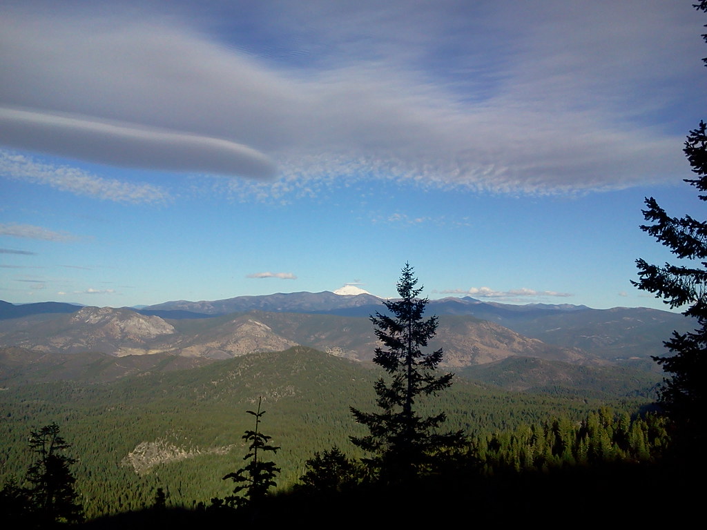 Photo: theforestprimeval, CC BY-SA 2.0 (via Flickr)
Duck Lake
~8 min drive
7.20-mile out-and-back trail in California with 2,537 ft elevation gain.
Photo: theforestprimeval, CC BY-SA 2.0 (via Flickr)Horseshoe
~6 min drive
2.92-mile out-and-back trail in California with 1,058 ft gain.
Photo: Calaina, CC BY-SA 3.0 (via Wikimedia Commons)Albert Lake Trail
~6 min drive
1.24-mile out-and-back trail in California with 1,248 ft elevation gain
HIKE
South Russian Creek
~1 min drive
12.08-mile out-and-back trail in California's forest country with 7,353 ft of elevation gain.


