Pacific Crest National Scenic Trail
- 8.1 mi
- round trip
- 5,135 ft
- climb
- 7,243 ft
- high point
- Out and back
- route
Is Pacific Crest National Scenic Trail open right now?
Alert in the area
The Forest Service lists 2 alerts for Klamath National Forest.
Temporarily closure of approximately 3.5 miles of National Forest System Roads 47N01
Agency alert covering Klamath National Forest · Order 05-05-00-26-08 · USFS · Klamath National Forest
Grayback Road Repairs
Agency alert covering Klamath National Forest · USFS · Klamath National Forest
As of · Source: USFS · Klamath National Forest. Agencies don't list every closure — check before you go.
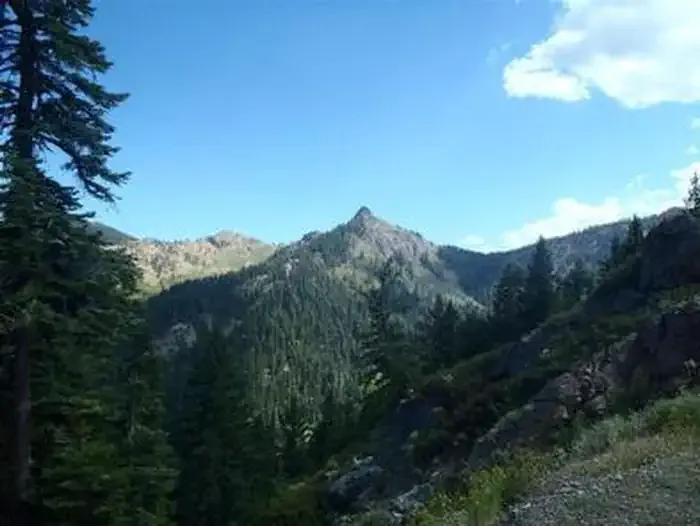
The Pacific Crest National Scenic Trail is an out-and-back route of about 16 miles in the Scott River Ranger District of Klamath National Forest in California, on Forest Service land. It is an expert-level hike, with a one-way climb of about 2,682 feet and a round-trip total of about 5,135 feet. The trail starts at Carter Summit Trailhead, which sits at about 6,753 feet, and reaches a high point of about 7,243 feet. The route is steady, with the steepest stretch at about mile 1.9, where the grade reaches about 33%. The trail passes several other outings within a mile or so. Hidden Lake is about 0.1 mile away, and South Fork Lakes is about 0.7 mile away. Carter Meadows Horse Group campground is about 0.6 mile off, and Trail Creek campground is about 3.8 miles away. For a longer outing, the East Fork South Fork Salmon River, about 6.5 miles away, offers canoeing.
- Hidden LakeHiking0.1 mi
- Carter Meadows InteriorHiking0.3 mi
 Carter Meadows Horse GroupCampingPhoto: Recreation.gov (RIDB) / public domain0.6 mi
- South Fork LakesHiking0.7 mi
- Trail CreekCamping3.8 mi
- East Fork South Fork Salmon RiverCanoeing6.5 mi
- Coffee CreekCanoeing8.1 mi
- Taylor CreekCanoeing8.1 mi
Source: Roamze catalog (indexable pages within 10 miles, PostGIS distance)
- Hidden LakeHiking · Next door
- Carter Meadows InteriorHiking · Next door
- South Fork Ridge (Noland Gl.)Hiking · ~2 min drive
- North Fork Coffee Creek TrailHiking · ~6 min drive
- Trail Gulch TieHiking · ~4 min drive
- South Fork LakesHiking · ~1 min drive
- Trail GulchHiking · ~2 min drive
- Rush Creek TrailHiking · ~10 min drive
- Slide CreekHiking · ~5 min drive
- Long GulchHiking · ~3 min drive
Also worth it near here
- Carter Meadows Horse GroupCamping · ~1 min drive
 Russian PeakSummit · ~9 min drivePhoto: Mkauffmann, CC BY 3.0 (via Wikimedia Commons)
- East Fork South Fork Salmon RiverCanoeing · ~11 min drive
 Little Duck LakeMountain biking · ~11 min drivePhoto: sheriff_woody_pct, CC BY 4.0 (via Wikimedia Commons)
- Big Marshy LakeLake fishing · ~12 min drive
Map and trail data © OpenStreetMap contributors
