Dutch Creek
- 6.4 mi
- round trip
- 1,999 ft
- climb
- 6,507 ft
- high point
- Out and back
- route
Is Dutch Creek open right now?
Closure in the area
There's a closure order in Siskiyou Mountains Ranger District. It doesn't name Dutch Creek, so check the source for the area it covers.
Ashland Municipal Watershed Camping and Fire Prohibition
Agency closure covering Siskiyou Mountains Ranger District · Order 06-10-20-23-52 · USFS · Siskiyou Mountains Ranger District
As of · Source: USFS · Siskiyou Mountains Ranger District. Agencies don't list every closure — check before you go.
Dutch Creek is a hard hike on the Siskiyou Mountains Ranger District of the Rogue River-Siskiyou National Forests in southern Oregon and northern California. It's a 6.4-mile out-and-back trip with a 1,999-foot climb, taking you from a low point of about 4,534 feet to a high of about 6,507 feet. The Forest Service manages the land, and the trail is natural-surface, with horses and bikes allowed. The trail is not accessible. It works for riders and pack animals and is open year-round. The climb is a significant one. The route starts at the low point and works its way up to the high point before returning. Summit Lake lies about 2.6 miles away, and Tin Cup is about 3.1 miles away. Stein Butte Trail #929 is about 3.5 miles away. For an overnight base, Harr Point Campground is about 5.7 miles away.
Local outfitters
- Applegate Trail Rides21 mi away
- Ashland Family YMCA22 mi away
Not on Roamze yet. Their page has how to reach them.
- SUMMIT LAKEHiking2.6 mi
- Tin CupHiking3.1 mi
- Stein Butte Trail #929Hiking3.5 mi
- Sq___ LakesCamping4 mi
- Harr Point CampgroundCamping5.7 mi
- Tipsu Tyee CampgroundCamping6.2 mi
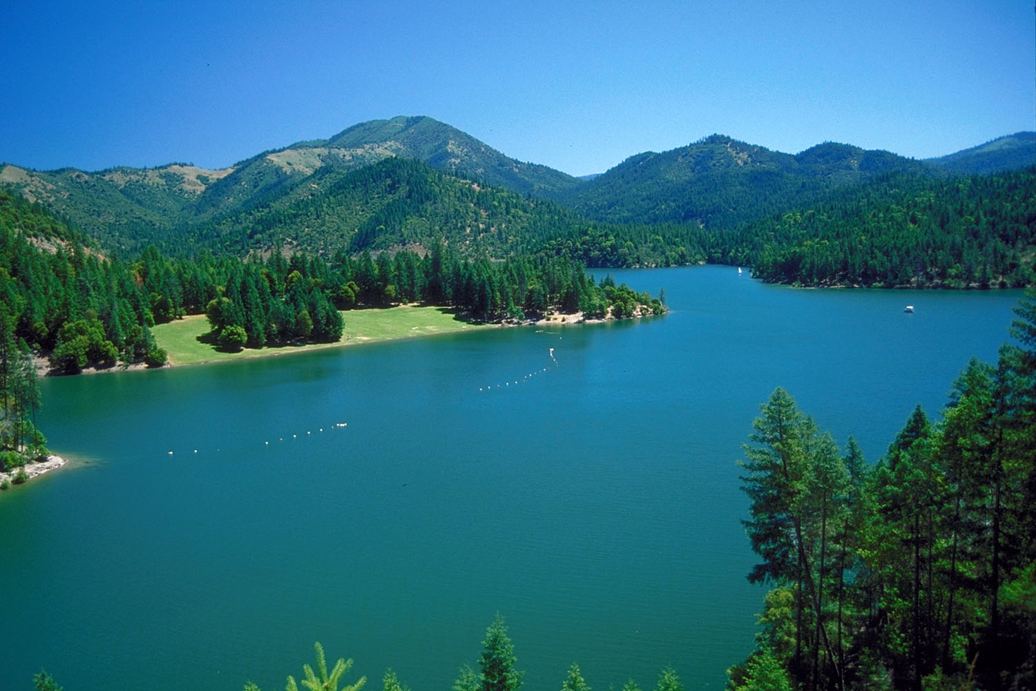 Applegate RiverCanoeingPhoto: Bill Johnson, U.S. Army Corps of Engineers, Public domain (via Wikimedia Commons)6.9 mi
- Horse CreekCanoeing8.2 mi
Source: Roamze catalog (indexable pages within 10 miles, PostGIS distance)
 ELLIOTT RIDGEHiking · ~7 min drivePhoto: n.p.young, CC BY 3.0 (via Wikimedia Commons)
 Cut OffHiking · ~11 min drivePhoto: n.p.young, CC BY 3.0 (via Wikimedia Commons)
 Maple DellHiking · ~8 min drivePhoto: Curt Kline, CC BY 3.0 (via Wikimedia Commons)
- Stein Butte Trail #929Hiking · ~6 min drive
- PayetteHiking · ~11 min drivePhoto: n.p.young, CC BY 3.0 (via Wikimedia Commons)
- Little Acorn WomanHiking · ~8 min drive
- Tin CupHiking · ~5 min drive
- Charlie BuckHiking · ~11 min drive
 Da-Ku-Be-Te-DeHiking · ~12 min drivePhoto: n.p.young, CC BY 3.0 (via Wikimedia Commons)
- OspreyHiking · ~10 min drive
