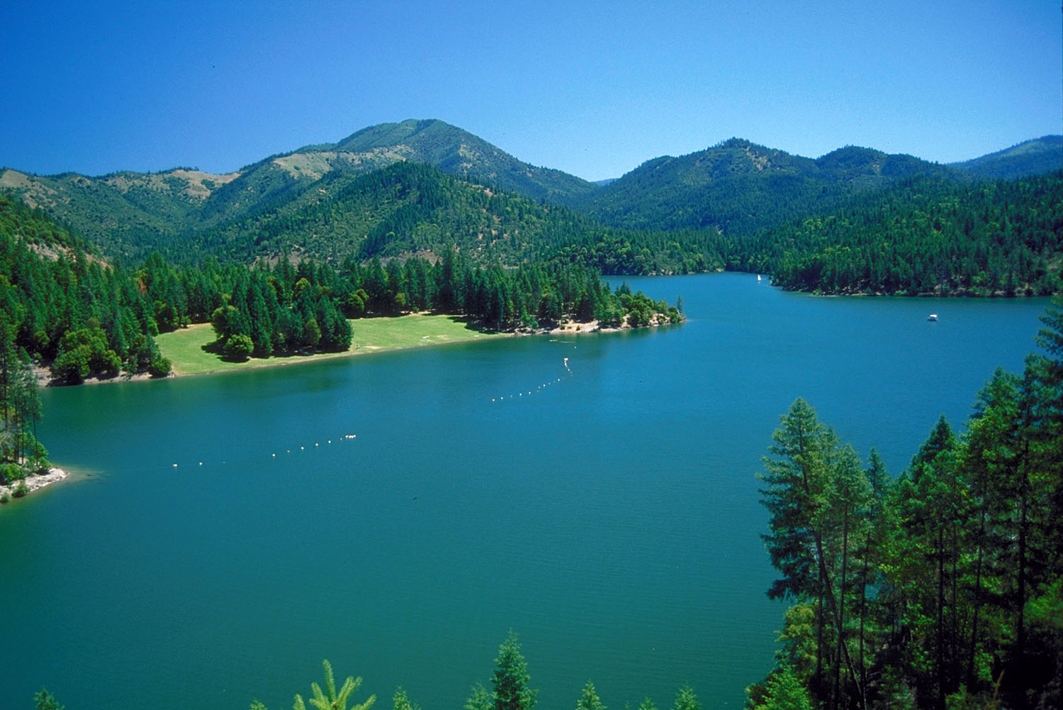
Payette
 Photo: n.p.young, CC BY 3.0 (via Wikimedia Commons)
- 15.2 mi
- round trip
- 3,453 ft
- climb
- 2,249 ft
- high point
- Out and back
- route
- Mar–Jun, Sep–Nov
- best months
Is Payette open right now?
Closure in the area
There's a closure order in Siskiyou Mountains Ranger District. It doesn't name Payette, so check the source for the area it covers.
Ashland Municipal Watershed Camping and Fire Prohibition
Agency closure covering Siskiyou Mountains Ranger District · Order 06-10-20-23-52 · USFS · Siskiyou Mountains Ranger District
As of · Source: USFS · Siskiyou Mountains Ranger District. Agencies don't list every closure — check before you go.
Payette is a 15-mile out-and-back hike in the Siskiyou Mountains Ranger District of the Rogue River-Siskiyou National Forests in southern Oregon. The trail starts at about 2,230 feet and climbs to 2,249 feet, with the steepest stretch at roughly 0.7 miles in from the trailhead, where the grade reaches 29%. The trail is rated hard and rises 888 feet. It's a natural-surface route open to horses and bikes, and it is not accessible. The most comfortable months for a visit are late spring and early fall. Typical averages from a nearby weather station at Ruch, which sits about 700 feet lower than the trail, show highs around 75°F in May and 72°F in October. Summer is hot, with July and August highs in the low 90s. Watkins Campground is half a mile away, and the Da-Ku-Be-Te-De hike is 0.6 miles off. Tipsu Tyee Campground and Harr Ridge are both about 1.4 miles away.
Local outfitters
- Applegate Trail Rides15 mi away
- Ashland Family YMCA25 mi away
Not on Roamze yet. Their page has how to reach them.
Best time to go · Mar–Jun, Sep–Nov
Best time to visit Payette
Best months: March–June and September–November. Best months have typical highs of 55–85 °F, lows of 30 °F or warmer (32 °F where the station doesn't record snow), at most one snowy day and no more than 12 wet days.
Jan
50° / 30°
Feb
55° / 31°
Mar
60° / 33°
Apr
65° / 36°
May
75° / 42°
Jun
82° / 47°
Jul
92° / 52°
Aug
91° / 51°
Sep
85° / 45°
Oct
72° / 38°
Nov
56° / 33°
Dec
49° / 30°
Typical high / low (°F) and days with rain or snow, 1991–2020. Measured at Ruch, OR, 14.7 mi away at 1,550 ft. The station sits about 700 ft lower than this place, so expect it a little cooler here. This station doesn't record snowfall. Source: NOAA NCEI U.S. Climate Normals 1991–2020.
Closures we've recorded since August 2026
Stage 2 Public Use Fire Restrictions (Forest-wide)
Rogue River-Siskiyou National Forests · Order dated September 4, 2026; seen Sep 3, 2026 → lifted Oct 28, 2026 · Forest Service
Stage 3 Public Use Fire Restrictions (Forest-wide)
Rogue River-Siskiyou National Forests · Order dated July 17, 2026; seen Aug 23, 2026 → lifted Sep 3, 2026 · Forest Service
Keep exploring — more trails worth the drive
 Photo: n.p.young, CC BY 3.0 (via Wikimedia Commons)
Da-Ku-Be-Te-De
Next door
8.32-mile out-and-back trail in Oregon with 2,067 ft gain
Photo: n.p.young, CC BY 3.0 (via Wikimedia Commons)Cut Off
~2 min drive
0.32-mile lollipop trail in Oregon with 16 ft gain.
 Photo: Curt Kline, CC BY 3.0 (via Wikimedia Commons)
Maple Dell
~15 min drive
4.20-mile out-and-back trail in Oregon with 2,079 ft elevation gain.
HIKE
Stein Butte Trail #929
~7 min drive
13.04-mile out-and-back trail in Oregon with 5,352 ft elevation gain and loss.
 Photo: n.p.young, CC BY 3.0 (via Wikimedia Commons)
ELLIOTT RIDGE
~4 min drive
9.88-mile out-and-back trail in Oregon with 2,996 ft gain and 4,974 ft max elevation.
HIKE
Harr Ridge
~2 min drive
0.94-mile out-and-back trail on Harr Ridge in Oregon with 154 ft of elevation gain.
HIKE
Grouse Loop
~4 min drive
3.60-mile loop trail in Oregon with 1,049 ft gain.
HIKE
Horse Camp Trail
~11 min drive
8.04-mile out-and-back trail in California with 4,542 ft elevation gain and 5,866 ft max elevation.
 Photo: Curt Kline, CC BY 3.0 (via Wikimedia Commons)
Mountain View Mine Trail
~9 min drive
6.06-mile out-and-back hike in Oregon with 3,933 ft elevation gain and loss.
HIKE
Prospectors Loop
~4 min drive
1.88-mile out-and-back trail in Oregon with 446 ft gain.