Stein Butte Trail #929
- 6.5 mi
- round trip
- 5,352 ft
- climb
- 4,518 ft
- high point
- Out and back
- route
Is Stein Butte Trail #929 open right now?
Closure in the area
There's a closure order in Siskiyou Mountains Ranger District. It doesn't name Stein Butte Trail #929, so check the source for the area it covers.
Ashland Municipal Watershed Camping and Fire Prohibition
Agency closure covering Siskiyou Mountains Ranger District · Order 06-10-20-23-52 · USFS · Siskiyou Mountains Ranger District
As of · Source: USFS · Siskiyou Mountains Ranger District. Agencies don't list every closure — check before you go.
Stein Butte Trail #929 is a 13-mile out-and-back hike in Oregon's Siskiyou Mountains Ranger District, part of the Rogue River-Siskiyou National Forests. The route climbs from 4,365 feet to a high point of 4,518 feet and drops back to the same starting elevation, for a total gain and loss of 5,352 feet. The steepest stretch comes at about 5.7 miles, where the grade reaches 38%. The trail is an expert-level route. Plan on about seven hours for the round trip, and be ready for a steep climb that makes this a hike for experienced hikers rather than a short outing. The closest neighbor is Elliott Ridge, about 1.3 miles away. Harr Point Campground and Tipsu Tyee Campground sit within 3 miles, and the New London Trail #928 lies just over 2.5 miles off.
Local outfitters
- Applegate Trail Rides17 mi away
- Ashland Family YMCA22 mi away
Not on Roamze yet. Their page has how to reach them.
Conditions and forecast on Stein Butte
Daily highs and lows, wind and the chance of precipitation at the summit and route start for the next 7 days, from the Open-Meteo model.
 ELLIOTT RIDGEHikingPhoto: n.p.young, CC BY 3.0 (via Wikimedia Commons)1.3 mi
- Harr Point CampgroundCamping2.4 mi
- New London Trail #928Hiking2.5 mi
- OspreyHiking2.6 mi
- Sq___ LakesCamping2.7 mi
- Tipsu Tyee CampgroundCamping2.9 mi
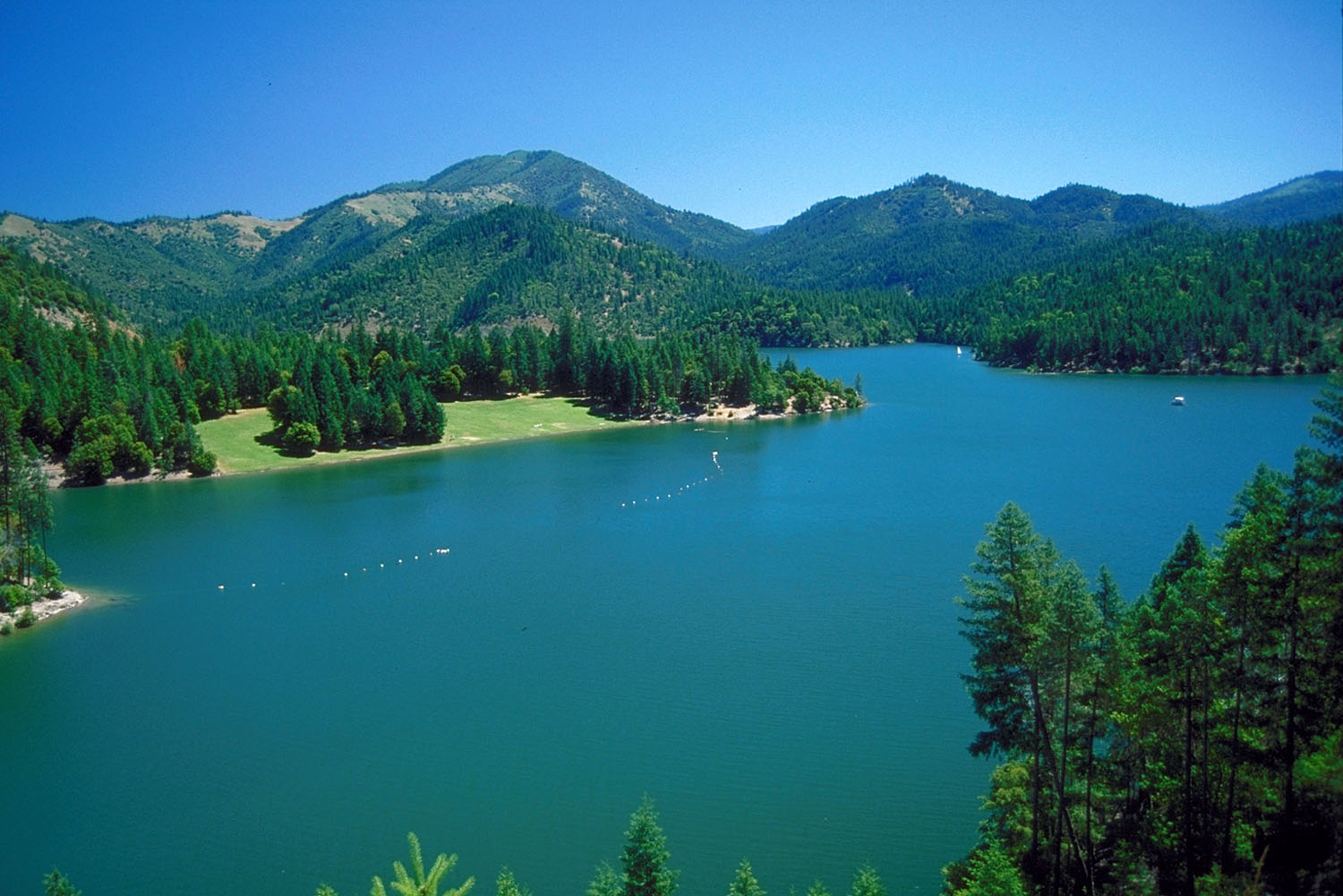 Applegate RiverCanoeingPhoto: Bill Johnson, U.S. Army Corps of Engineers, Public domain (via Wikimedia Commons)5.2 mi
- Carberry CreekCanoeing6 mi
Source: Roamze catalog (indexable pages within 10 miles, PostGIS distance)
- ELLIOTT RIDGEHiking · ~2 min drivePhoto: n.p.young, CC BY 3.0 (via Wikimedia Commons)
 Cut OffHiking · ~6 min drivePhoto: n.p.young, CC BY 3.0 (via Wikimedia Commons)
 Maple DellHiking · ~8 min drivePhoto: Curt Kline, CC BY 3.0 (via Wikimedia Commons)
- Charlie BuckHiking · ~7 min drive
- PayetteHiking · ~7 min drivePhoto: n.p.young, CC BY 3.0 (via Wikimedia Commons)
- OspreyHiking · ~4 min drive
- Summit Lake Trail #926Hiking · ~5 min drive
- Horse Camp TrailHiking · ~13 min drive
 Da-Ku-Be-Te-DeHiking · ~8 min drivePhoto: n.p.young, CC BY 3.0 (via Wikimedia Commons)
- Calsh Trail #971Hiking · ~4 min drive
Route details
- Distance
- 6.5 mi round trip
- Climbing
- About 5,352 ft
- Summit
- 4,400 ft
- Difficulty
- Expert
- Time
- About 3 hours
Questions about this route
How long is the Stein Butte Trail #929 on Stein Butte?
About 6.5 mi round trip.
How much elevation gain is on the Stein Butte Trail #929?
About 5,352 ft of climbing round trip.
How hard is the Stein Butte Trail #929?
It is rated expert.
How long does the Stein Butte Trail #929 take?
About 3 hours round trip.
Map and trail data © OpenStreetMap contributors
