Ponytail Falls
- 4,384 ft
- elevation
- Forest Service
- managed by
Is Ponytail Falls open right now?
Alert in the area
The Forest Service lists 2 alerts for Klamath National Forest.
Temporarily closure of approximately 3.5 miles of National Forest System Roads 47N01
Agency alert covering Klamath National Forest · Order 05-05-00-26-08 · USFS · Klamath National Forest
Grayback Road Repairs
Agency alert covering Klamath National Forest · USFS · Klamath National Forest
As of · Source: USFS · Klamath National Forest. Agencies don't list every closure — check before you go.
Ponytail Falls is a waterfall in Siskiyou County, California, sitting at about 4,384 feet in the Oak Knoll Ranger District of Klamath National Forest. The nearest town is Happy Camp, about 16 miles away, and the Forest Service manages the surrounding land. Several trails start close by. Cook and Green Trail is about a mile away, and West Fork Seiad Creek and Horse Camp Trail are each within about 2 miles. For an overnight base, Watkins Campground is about 6.5 miles off.
- Elevation
- 4,384 ft
- Land manager
- Forest Service
Elevation from USGS 3D Elevation Program terrain data (about 10 m resolution).
- Cook and Green TrailHiking1.1 mi
- West Fork Seiad CreekHiking1.9 mi
- Horse Camp TrailHiking2.2 mi
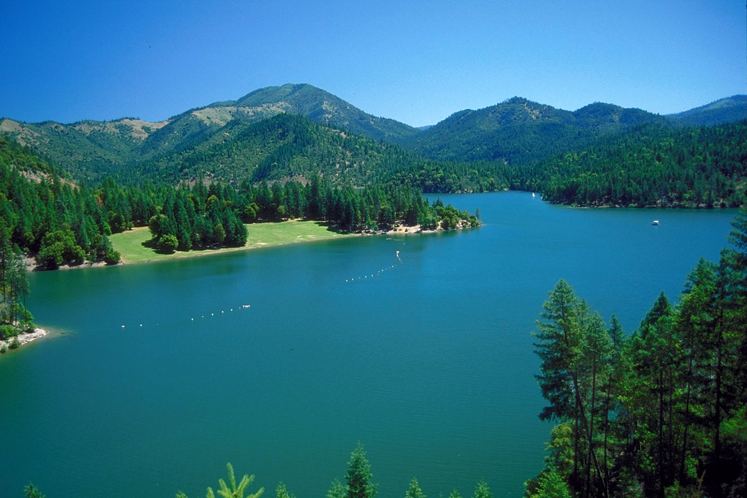 Applegate RiverCanoeingPhoto: Bill Johnson, U.S. Army Corps of Engineers, Public domain (via Wikimedia Commons)4.6 mi
- Seiad CreekCanoeing4.9 mi
- Watkins CampgroundCamping6.5 mi
- Harr Point CampgroundCamping7.2 mi
- Tipsu Tyee CampgroundCamping7.2 mi
Source: Roamze catalog (indexable pages within 10 miles, PostGIS distance)
- Horsetail FallsWaterfall · Next door
- Loretta FallsWaterfall · ~37 min drive
- Chocolate FallsWaterfall · ~45 min drive
- Johnson Creek FallsWaterfall · ~59 min drive
- Little Illinois River FallsWaterfall · ~1h 1m drive
- Ti'lomikh FallsWaterfall · ~1h 1m drive
- Dillon FallsWaterfall · ~1h 3m drive
- Ishi Pishi FallsWaterfall · ~1h 13m drive
- Maple FallsWaterfall · ~34 min drive
- Wilderness FallsWaterfall · ~47 min drive
Also worth it near here
- Applegate RiverCanoeing · ~8 min drivePhoto: Bill Johnson, U.S. Army Corps of Engineers, Public domain (via Wikimedia Commons)
- Lower Devils PeakSummit · ~9 min drive
 ELLIOTT RIDGEHiking · ~10 min drivePhoto: n.p.young, CC BY 3.0 (via Wikimedia Commons)
- Copper Boat RampBoat launch · ~12 min drive
 Harr RidgeMountain biking · ~12 min drivePhoto: n.p.young, CC BY 3.0 (via Wikimedia Commons)
