Live Oak Cg
Campground
Campground · 3.5 mi from the trail
Alert in the area
The Forest Service lists 7 alerts for Angeles National Forest.
Rincon-Redbox Road (2N24) Closure
Agency alert covering Angeles National Forest · Order 05-01-26-13 · USFS · Angeles National Forest
Fire Danger Level Elevated to "Very High"
Agency alert covering Angeles National Forest · USFS · Angeles National Forest
San Gabriel Canyon OHV Area Prohibitions
Agency alert covering Angeles National Forest · Order 05-01-26-09 · USFS · Angeles National Forest
San Dimas Experimental Forest Closure
Agency alert covering Angeles National Forest · USFS · Angeles National Forest
Eaton Fire Area Closure
Agency alert covering Angeles National Forest · Order 05-01-26-04 · USFS · Angeles National Forest
As of · Source: USFS · Angeles National Forest. Agencies don't list every closure — check before you go.
Beelie Goat Trail is a hard out-and-back hike in the Los Angeles Gateway Ranger District of Angeles National Forest in California. The trail is about 2.2 miles long, and the climb is front-loaded, with the high point at 3,499 feet. The route starts at 1,724 feet and gains about 1,850 feet in elevation, which makes it a steep, demanding day. The trail is a short but serious climb. The most of the elevation gain happens early on, and the return trip mirrors the ascent. Plan on about 1.5 hours for the hike, though that can vary with pace and conditions. Lopez Canyon Trail is the closest neighbor, about 1.4 miles away. Bear Divide Chapparal, Wilson Canyon Loop Trail and Los Pinetos Trail are all within about 2.7 miles.
Live Oak Cg
Campground
 If it rainsDoncram, CC BY-SA 3.0 · Wikimedia Commons
Historic American Craftsman era stone building in Tujunga, Los Angeles County, California
Places © OpenStreetMap contributors, Places © Overture Maps Foundation · Photos: Doncram, CC BY-SA 3.0 (commons)
More in ActonDaily highs and lows, wind and the chance of precipitation at the summit and route start for the next 7 days, from the Open-Meteo model.
 Bear Divide ChapparalHikingPhoto: newagecrap, CC BY 2.0 (via Flickr)2.3 mi
Source: Roamze catalog (indexable pages within 10 miles, PostGIS distance)
 Walker LoopHiking · ~6 min drivePhoto: dcole6, CC BY 2.0 (via Flickr)
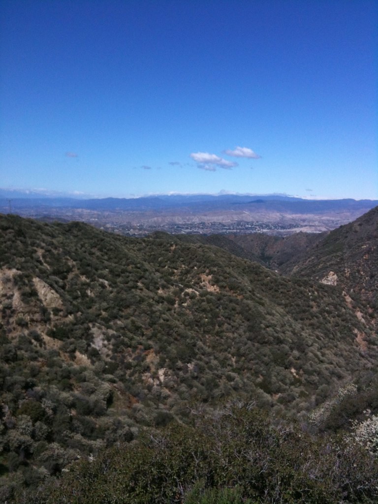 Oak Springs TrailHiking · ~6 min drivePhoto: Stiggs13, CC BY 2.0 (via Flickr)
 Keely Downhill TrailHiking · ~6 min drivePhoto: dcole6, CC BY 2.0 (via Flickr)Shadow Glen TrailHiking · ~7 min drivePhoto: dcole6, CC BY 2.0 (via Flickr)
 Los Pinetos TrailHiking · ~6 min drivePhoto: sdold, CC BY-SA 3.0 (via Wikimedia Commons)
 Bothwell TrailHiking · ~8 min drivePhoto: dcole6, CC BY 2.0 (via Flickr)
 Allen TrailHiking · ~6 min drivePhoto: dcole6, CC BY 2.0 (via Flickr)Bear Divide ChapparalHiking · ~4 min drivePhoto: newagecrap, CC BY 2.0 (via Flickr)
Also worth it near here
About 1.1 mi round trip.
About 1,851 ft of climbing round trip.
It is rated hard.
About 1.5 hours round trip.
Map and trail data © OpenStreetMap contributors


