Loading…

Free — you'll pick up right here.
Watch this trail
Sign up to watch it — saving subscribes you to gate, closure and report changes.
California
27.6 mi
Distance
3,377 ft
Gain
We won't guess. Here is exactly what we do and don't know.
What we do know
Inside Angeles National Forest
2 managing-area boundaries mapped — agency alerts for them feed this page automatically.
Boundary data
What's missing
No access route mapped
We don't yet know which road reaches this trailhead, so we can't tell you if it's gated.
Nobody's filed a report here yet — be the first.
Why you'll love it
Upper Pacoima Canyon Trail
AI-suggested draft · review before you go
No permit or access details on file for this trail — check with the local land manager before you go.
The Upper Pacoima Canyon Trail is a challenging backcountry route that traverses a remote canyon system in the San Gabriel Mountains north of Los Angeles. This nearly 28-mile journey features significant elevation gain through chaparral, oak woodland, and riparian canyon environments, offering solitude and rugged natural beauty for experienced hikers. The trail provides access to upper canyon terrain with seasonal water sources and panoramic views of the surrounding ridgelines.
Franklin Canyon Park
~28 min drive
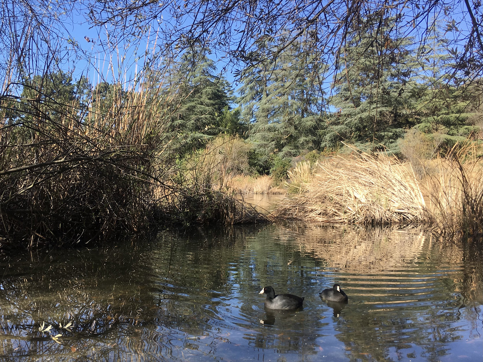
<p>Located between Beverly Hills and the San Fernando Valley, Franklin Canyon Park's 605 acres of land have something for everyone. Its three main trails - Discovery, Berman, and Hastain - are great for novice to intermediate hikers. This fantastic park for families with young…
Dagger Flats Trail
~2 min drive
Steady 4.25-mile climb to scenic flats with 1,727 ft elevation gain.
Bear Divide Chapparal
~4 min drive
Steep chaparral climb with 1,621 ft gain in under 3 miles.
Iron Canyon Trail
~6 min drive
Strenuous 12.19-mile canyon trail with 4,029 ft elevation gain.
Yerba Buena Trail
~9 min drive
Moderate 4.38-mile trail with 1,257 ft elevation gain and rewarding views.
Boulder
~5 min drive
Quick 0.6-mile hike with 146 ft gain near Boulder.
Rattlesnake Trail
~9 min drive
Quick 2-mile foothills hike with steady climb and scenic views.
Hoyt Mountain Trail
~21 min drive
Moderate 5.47-mile climb with 1,699 ft gain to Hoyt Mountain summit.
Fascination Springs Trail
~8 min drive
Steep 2.61-mile trail with 1,374 ft gain and natural spring features.
Trail Canyon Trail
~11 min drive
Strenuous 19-mile backcountry trail with 4,846 ft elevation gain.