Otis Wallace Children's Campground
Campground
Campground · 5.0 mi from the trail
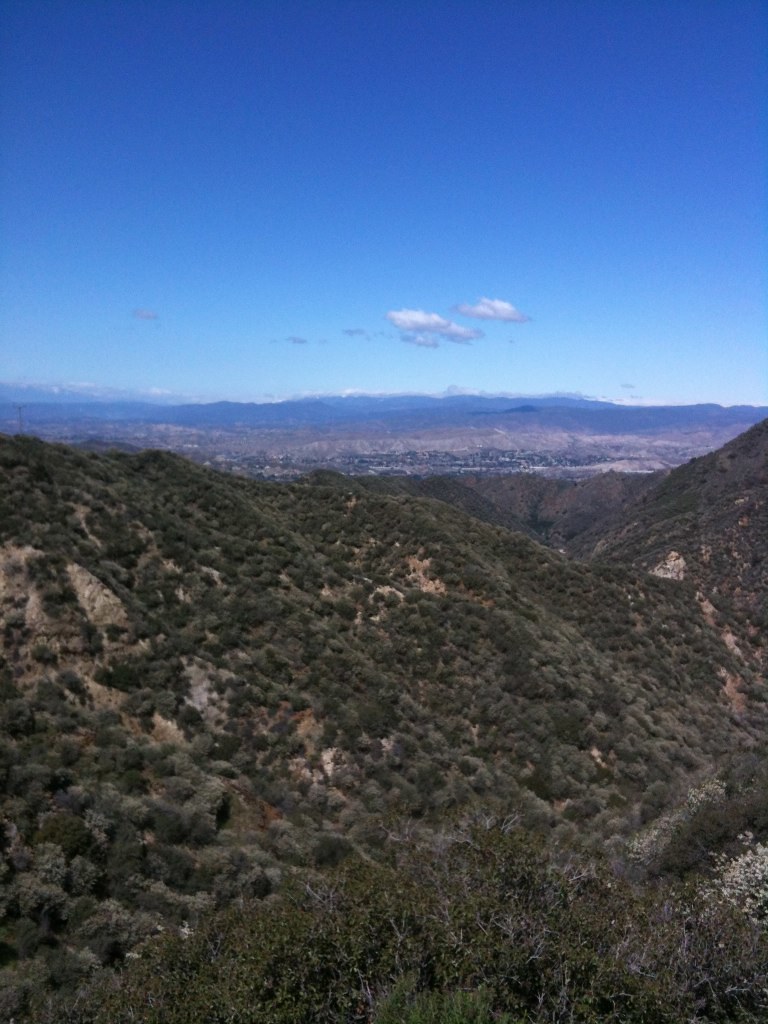 Photo: Stiggs13, CC BY 2.0 (via Flickr)
Alert in the area
The Forest Service lists 7 alerts for Angeles National Forest.
Rincon-Redbox Road (2N24) Closure
Agency alert covering Angeles National Forest · Order 05-01-26-13 · USFS · Angeles National Forest
Fire Danger Level Elevated to "Very High"
Agency alert covering Angeles National Forest · USFS · Angeles National Forest
San Gabriel Canyon OHV Area Prohibitions
Agency alert covering Angeles National Forest · Order 05-01-26-09 · USFS · Angeles National Forest
San Dimas Experimental Forest Closure
Agency alert covering Angeles National Forest · USFS · Angeles National Forest
Eaton Fire Area Closure
Agency alert covering Angeles National Forest · Order 05-01-26-04 · USFS · Angeles National Forest
As of · Source: USFS · Angeles National Forest. Agencies don't list every closure — check before you go.
Oak Springs Trail is a 4.7-mile out-and-back hike in California's Angeles National Forest, within the Los Angeles Gateway Ranger District. The Forest Service manages the land, and the route climbs from about 1,740 feet to a high point of roughly 3,016 feet, with a total elevation gain of 1,337 feet. Bikes are allowed, and the trail surface is natural. Spring and fall are the most comfortable times to go. A nearby weather station records typical April highs around 74°F and October highs around 81°F, with temperatures on the trail running cooler than that station. Summer is hot, with typical highs in the low 90s from July through September. The trail is open year-round. Several other hikes sit close by. Limerock Peak Trail is about 0.7 miles away, Boulder is about 0.9 miles away and Doc Larson is about 1.7 miles away. For an overnight stay, Gould Mesa campground lies about 9 miles off.
Otis Wallace Children's Campground
Campground
Hideaway Bar & Grill
Bar
 If it rainsDoncram, CC BY-SA 3.0 · Wikimedia Commons
Historic American Craftsman era stone building in Tujunga, Los Angeles County, California
Places © OpenStreetMap contributors · Photos: Doncram, CC BY-SA 3.0 (commons)
More in ActonBoulderHikingPhoto: Stiggs13, CC BY 2.0 (via Flickr)0.9 mi Big Tujunga CreekCanoeingPhoto: MajaTrochimczyk, CC BY 3.0 us (via Wikimedia Commons)7 mi
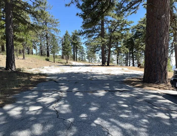 Lightning Point Group CampgroundCampingPhoto: Recreation.gov (RIDB) / public domain9.4 mi
Source: Roamze catalog (indexable pages within 10 miles, PostGIS distance)
BoulderHiking · ~2 min drivePhoto: Stiggs13, CC BY 2.0 (via Flickr)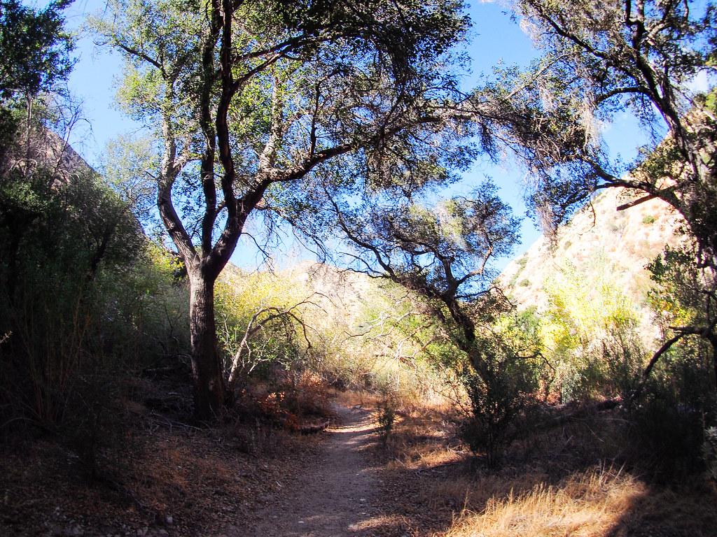 Gold Canyon Trail (UNMAINTAINED)Hiking · ~6 min drivePhoto: JingKe888, CC BY 2.0 (via Flickr)
 Santa Clara Truck TrailHiking · ~8 min drivePhoto: Kevin M. Gill, CC BY 2.0 (via Flickr)
 Trail Canyon TrailHiking · ~8 min drivePhoto: JingKe888, CC BY 2.0 (via Flickr)
 Raynier LoopHiking · ~11 min drivePhoto: dcole6, CC BY 2.0 (via Flickr)
 Sister Elsie TrailHiking · ~9 min drivePhoto: mjhbower, CC BY-SA 2.0 (via Flickr)Sister Elsie TrailHiking · ~10 min drivePhoto: mjhbower, CC BY-SA 2.0 (via Flickr)
Also worth it near here
 Marek Truck TrailMountain biking · ~2 min drivePhoto: Federico Pizano, CC BY 3.0 (via Wikimedia Commons)
 Mount LukensSummit · ~11 min drivePhoto: Doc Searls from Santa Barbara, USA, CC BY 2.0 (via Wikimedia Commons)
Best months: October–May. Best months have typical highs of 55–85 °F, lows of 30 °F or warmer (32 °F where the station doesn't record snow), at most one snowy day and no more than 12 wet days.
Jan
63° / 47°
5 wet
Feb
65° / 45°
6 wet
Mar
70° / 47°
5 wet
Apr
74° / 49°
3 wet
May
81° / 53°
1 wet
Jun
87° / 57°
0 wet
Jul
94° / 63°
0 wet
Aug
96° / 64°
0 wet
Sep
91° / 62°
1 wet
Oct
81° / 56°
2 wet
Nov
71° / 49°
3 wet
Dec
62° / 44°
5 wet
Typical high / low (°F) and days with rain or snow, 1991–2020. Measured at Newhall 5nw, CA, 15.6 mi away at 1,765 ft. The station sits about 1,300 ft lower than this place, so expect it a little cooler here. Source: NOAA NCEI U.S. Climate Normals 1991–2020.
