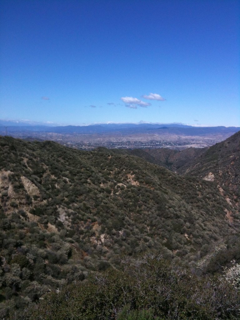
Free — you'll pick up right here.
Watch this water
Sign up to watch it — saving subscribes you to gate, closure and report changes.
California
Hansen Flood Control Basin
We don't cover this water yet
No agency boundary, access route or field report is mapped to it — so there is no verdict, and we won't guess. We'll tell you the moment this water has something to say.
Covered nearby
Waters within 25 miles where we do have a current picture.
Nobody's filed a report here yet — be the first.
Why you'll love it
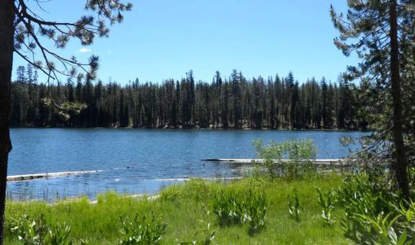
Here's your day on the water, mapped
Hansen Flood Control Basin
AI-suggested draft · review before you go
Gear for the day
Photos
Directions & GPX
About this water
Hansen Flood Control Basin is a 33-acre lake near Sylmar, California, at about 996 feet.
Add to a trip & share
Keep exploring — more waters worth the drive
Upper Stone Canyon Reservoir
~19 min drive
Upper Stone Canyon Reservoir is a 13-acre reservoir near Los Angeles, California, at about 928 feet.
West Fork Fishing Access
~51 min drive
A worthwhile stop near California.
Pyramid Lake - Emigrant Landing Day Use Area
~59 min drive
A worthwhile stop near California.
Lincoln Park Lake
~30 min drive
Lincoln Park Lake is a 5-acre lake near Los Angeles, California, at about 343 feet.
Open Pit Gravel Mine
~43 min drive
Open Pit Gravel Mine is a 35-acre lake near El Monte, California, at about 334 feet.
Santa Fe Lake
~46 min drive
Santa Fe Lake is a 68-acre lake near Irwindale, California, at about 468 feet.
Munz Lakes
~48 min drive
Munz Lakes is a lake near Lake Hughes, California, at about 3,231 feet.
Pond Two
~57 min drive
Pond Two is a 68-acre pond near Lancaster, California, at about 2,304 feet.
Raymond Retarding Basin
~1h 8m drive
Raymond Retarding Basin is a 9-acre lake near Anaheim, California, at about 155 feet.
Lake Los Serranos
~1h 14m drive
Lake Los Serranos is a 20-acre lake near Chino Hills, California, at about 653 feet.