Live Oak Cg
Campground
Campground · 1.7 mi from the trail
 Photo: dcole6, CC BY 2.0 (via Flickr)
Alert in the area
The Forest Service lists 7 alerts for Angeles National Forest.
Rincon-Redbox Road (2N24) Closure
Agency alert covering Angeles National Forest · Order 05-01-26-13 · USFS · Angeles National Forest
Fire Danger Level Elevated to "Very High"
Agency alert covering Angeles National Forest · USFS · Angeles National Forest
San Gabriel Canyon OHV Area Prohibitions
Agency alert covering Angeles National Forest · Order 05-01-26-09 · USFS · Angeles National Forest
San Dimas Experimental Forest Closure
Agency alert covering Angeles National Forest · USFS · Angeles National Forest
Eaton Fire Area Closure
Agency alert covering Angeles National Forest · Order 05-01-26-04 · USFS · Angeles National Forest
As of · Source: USFS · Angeles National Forest. Agencies don't list every closure — check before you go.
Keely Downhill Trail is a short, easy out-and-back hike in California, set within the Los Angeles Gateway Ranger District of Angeles National Forest and Placerita Golden Valley Ranch Open Space, on city-managed land. The route is roughly 1.4 miles long, with a total climb of about 401 feet and a total descent of the same. The high point reaches about 2,253 feet, and the trail is back-loaded, meaning the climb comes in the second half of the route. Spring and fall are the most comfortable times to visit. A nearby weather station at Newhall records typical average highs of about 74°F in April and 81°F in October, while summer highs typically reach the low 90s. The station sits several hundred feet below the trail, so temperatures on the route run a bit cooler. The hike takes about half an hour, and Allen Trail and Raynier Loop both lie within a quarter mile. For an overnight stay, Zuni Campground is about 9.6 miles away, and climbers can find Texas Canyon about 9.8 miles out.
Live Oak Cg
Campground
Dog Haus
Fast food
 If it rainsDoncram, CC BY-SA 3.0 · Wikimedia Commons
Historic American Craftsman era stone building in Tujunga, Los Angeles County, California
Places © OpenStreetMap contributors · Photos: Doncram, CC BY-SA 3.0 (commons)
More in Acton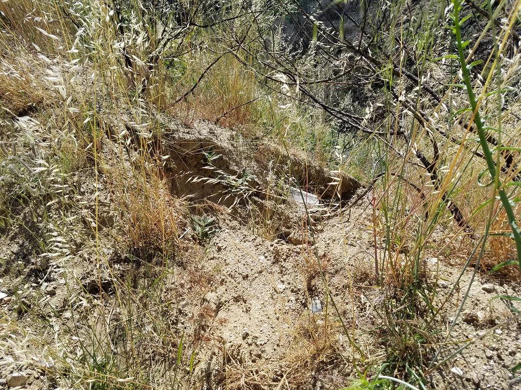 Allen TrailHikingPhoto: dcole6, CC BY 2.0 (via Flickr)0.1 mi
 Raynier LoopHikingPhoto: dcole6, CC BY 2.0 (via Flickr)0.2 miHomestead TrailHikingPhoto: dcole6, CC BY 2.0 (via Flickr)0.6 miMitchell TrailHikingPhoto: dcole6, CC BY 2.0 (via Flickr)0.7 mi
Source: Roamze catalog (indexable pages within 10 miles, PostGIS distance)
Walker LoopHiking · Next doorPhoto: dcole6, CC BY 2.0 (via Flickr)Shadow Glen TrailHiking · ~1 min drivePhoto: dcole6, CC BY 2.0 (via Flickr)Allen TrailHiking · Next doorPhoto: dcole6, CC BY 2.0 (via Flickr) Bothwell TrailHiking · ~2 min drivePhoto: dcole6, CC BY 2.0 (via Flickr)Raynier LoopHiking · Next doorPhoto: dcole6, CC BY 2.0 (via Flickr)
 Placerita TrailHiking · ~4 min drivePhoto: Demi Lucas, CC BY 3.0 (via Wikimedia Commons)Homestead TrailHiking · ~1 min drivePhoto: dcole6, CC BY 2.0 (via Flickr)
Best months: October–May. Best months have typical highs of 55–85 °F, lows of 30 °F or warmer (32 °F where the station doesn't record snow), at most one snowy day and no more than 12 wet days.
Jan
63° / 47°
5 wet
Feb
65° / 45°
6 wet
Mar
70° / 47°
5 wet
Apr
74° / 49°
3 wet
May
81° / 53°
1 wet
Jun
87° / 57°
0 wet
Jul
94° / 63°
0 wet
Aug
96° / 64°
0 wet
Sep
91° / 62°
1 wet
Oct
81° / 56°
2 wet
Nov
71° / 49°
3 wet
Dec
62° / 44°
5 wet
Typical high / low (°F) and days with rain or snow, 1991–2020. Measured at Newhall 5nw, CA, 9.5 mi away at 1,765 ft. Source: NOAA NCEI U.S. Climate Normals 1991–2020.
Map and trail data © OpenStreetMap contributors


