Otis Wallace Children's Campground
Campground
Campground · 3.1 mi from the trail
Alert in the area
The Forest Service lists 7 alerts for Angeles National Forest.
Rincon-Redbox Road (2N24) Closure
Agency alert covering Angeles National Forest · Order 05-01-26-13 · USFS · Angeles National Forest
Fire Danger Level Elevated to "Very High"
Agency alert covering Angeles National Forest · USFS · Angeles National Forest
San Gabriel Canyon OHV Area Prohibitions
Agency alert covering Angeles National Forest · Order 05-01-26-09 · USFS · Angeles National Forest
San Dimas Experimental Forest Closure
Agency alert covering Angeles National Forest · USFS · Angeles National Forest
Eaton Fire Area Closure
Agency alert covering Angeles National Forest · Order 05-01-26-04 · USFS · Angeles National Forest
As of · Source: USFS · Angeles National Forest. Agencies don't list every closure — check before you go.
Marek Truck Trail is a moderate out-and-back hike in the Los Angeles Gateway Ranger District of Angeles National Forest, managed by the Forest Service. The trail is about 1.67 miles long, with a total elevation gain of 1,209 feet over the round trip. The route starts at 1,465 feet and reaches a high point of 1,998 feet, and the steepest stretch comes at about 0.96 miles in, with a grade of 16 percent. Spring and fall are the most comfortable times to go. Typical averages from a nearby weather station show April highs around 74°F and October highs around 81°F, while July and August average in the low 90s. The hike takes about 1.5 hours. Herreres Truck Trail is about half a mile away, and Limerock Peak Trail and Lopez Canyon Trail are each within about a mile and a half. For an overnight stay, Gould Mesa campground is roughly 9.7 miles off.
Otis Wallace Children's Campground
Campground
Hideaway Bar & Grill
Bar
 If it rainsDoncram, CC BY-SA 3.0 · Wikimedia Commons
Historic American Craftsman era stone building in Tujunga, Los Angeles County, California
Places © OpenStreetMap contributors · Photos: Doncram, CC BY-SA 3.0 (commons)
More in Acton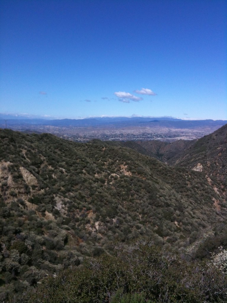 Oak Springs TrailHikingPhoto: Stiggs13, CC BY 2.0 (via Flickr)1.9 mi
 Big Tujunga CreekCanoeingPhoto: MajaTrochimczyk, CC BY 3.0 us (via Wikimedia Commons)8.3 mi
Source: Roamze catalog (indexable pages within 10 miles, PostGIS distance)
Oak Springs TrailHiking · ~3 min drivePhoto: Stiggs13, CC BY 2.0 (via Flickr)BoulderHiking · ~5 min drivePhoto: Stiggs13, CC BY 2.0 (via Flickr) Santa Clara Truck TrailHiking · ~11 min drivePhoto: Kevin M. Gill, CC BY 2.0 (via Flickr)
 Trail Canyon TrailHiking · ~11 min drivePhoto: JingKe888, CC BY 2.0 (via Flickr)
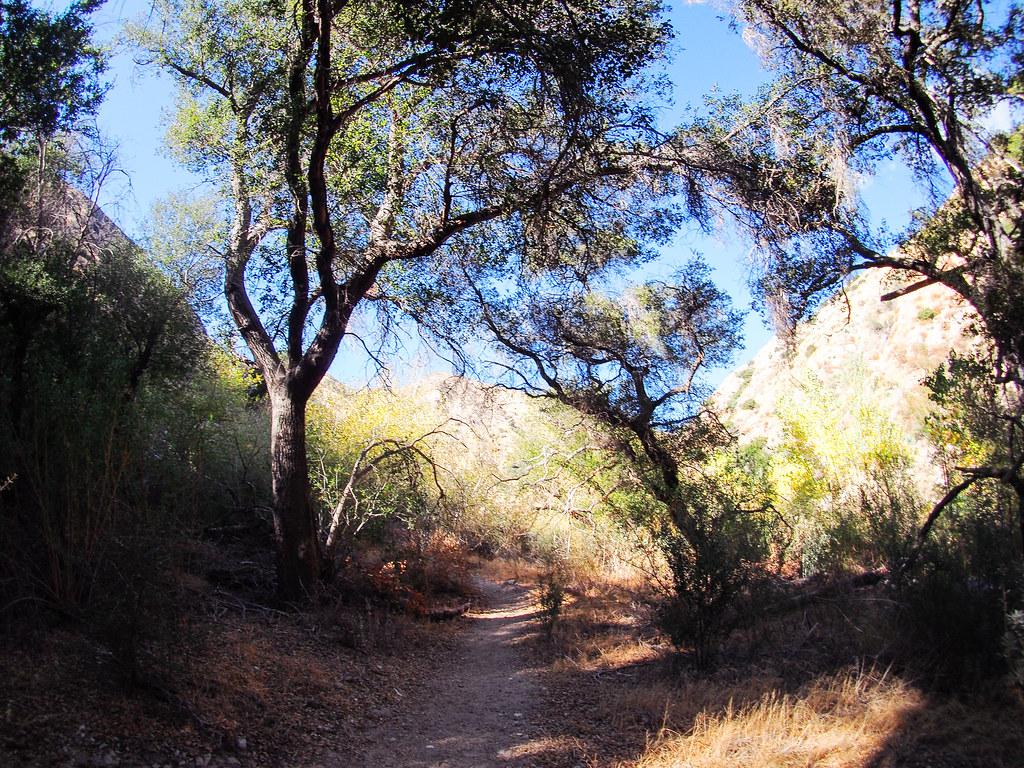 Gold Canyon Trail (UNMAINTAINED)Hiking · ~9 min drivePhoto: JingKe888, CC BY 2.0 (via Flickr)
 Walker LoopHiking · ~11 min drivePhoto: dcole6, CC BY 2.0 (via Flickr)
 Sister Elsie TrailHiking · ~10 min drivePhoto: mjhbower, CC BY-SA 2.0 (via Flickr)
 Keely Downhill TrailHiking · ~11 min drivePhoto: dcole6, CC BY 2.0 (via Flickr)
Also worth it near here
 Marek Truck TrailMountain biking · ~2 min drivePhoto: Federico Pizano, CC BY 3.0 (via Wikimedia Commons)
 Mount LukensSummit · ~13 min drivePhoto: Doc Searls from Santa Barbara, USA, CC BY 2.0 (via Wikimedia Commons)
Best months: October–May. Best months have typical highs of 55–85 °F, lows of 30 °F or warmer (32 °F where the station doesn't record snow), at most one snowy day and no more than 12 wet days.
Jan
63° / 47°
5 wet
Feb
65° / 45°
6 wet
Mar
70° / 47°
5 wet
Apr
74° / 49°
3 wet
May
81° / 53°
1 wet
Jun
87° / 57°
0 wet
Jul
94° / 63°
0 wet
Aug
96° / 64°
0 wet
Sep
91° / 62°
1 wet
Oct
81° / 56°
2 wet
Nov
71° / 49°
3 wet
Dec
62° / 44°
5 wet
Typical high / low (°F) and days with rain or snow, 1991–2020. Measured at Newhall 5nw, CA, 14.7 mi away at 1,765 ft. Source: NOAA NCEI U.S. Climate Normals 1991–2020.
