Live Oak Cg
Campground
Campground · 1.2 mi from the trail
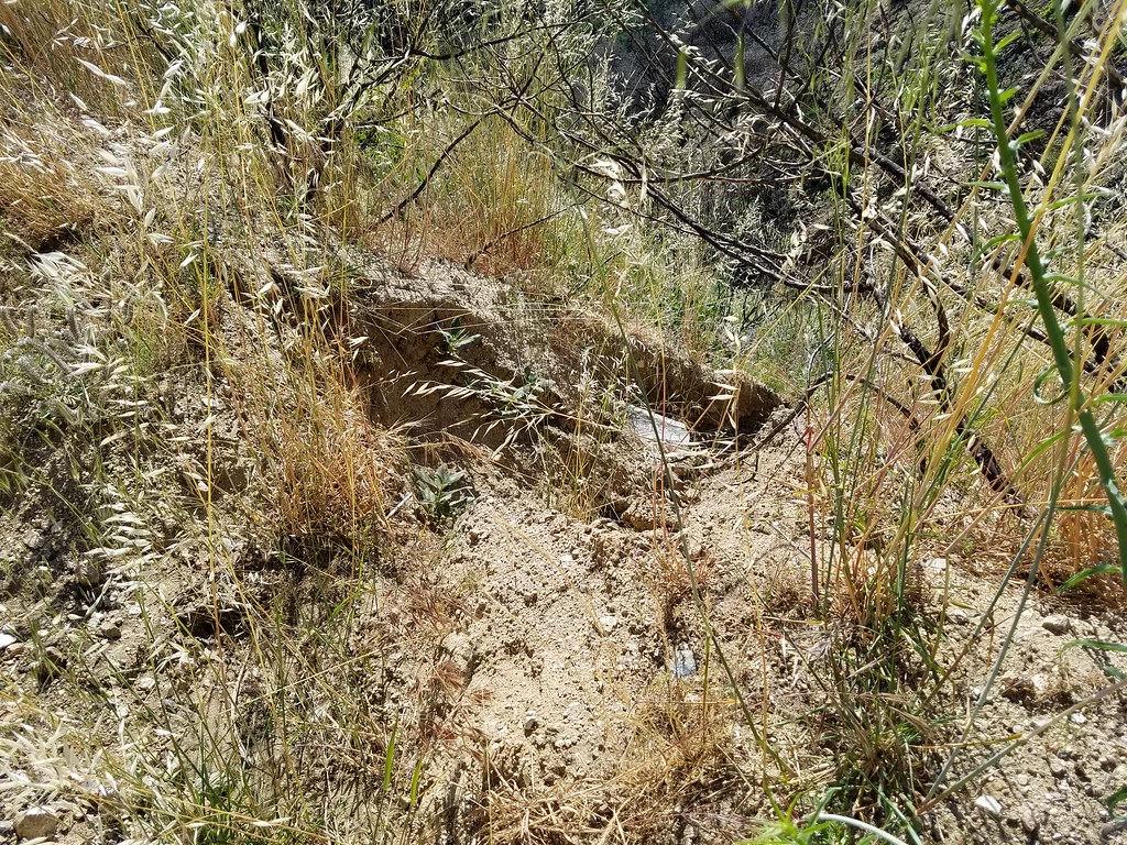
 Photo: newagecrap, CC BY 2.0 (via Flickr)
Alert in the area
The Forest Service lists 7 alerts for Angeles National Forest.
Rincon-Redbox Road (2N24) Closure
Agency alert covering Angeles National Forest · Order 05-01-26-13 · USFS · Angeles National Forest
Fire Danger Level Elevated to "Very High"
Agency alert covering Angeles National Forest · USFS · Angeles National Forest
San Gabriel Canyon OHV Area Prohibitions
Agency alert covering Angeles National Forest · Order 05-01-26-09 · USFS · Angeles National Forest
San Dimas Experimental Forest Closure
Agency alert covering Angeles National Forest · USFS · Angeles National Forest
Eaton Fire Area Closure
Agency alert covering Angeles National Forest · Order 05-01-26-04 · USFS · Angeles National Forest
As of · Source: USFS · Angeles National Forest. Agencies don't list every closure — check before you go.
Bear Divide Chapparal is a 2.8-mile out-and-back hike in the Los Angeles Gateway Ranger District of Angeles National Forest, managed by the Forest Service. The trail rises from about 2,786 feet to about 3,828 feet, with a total elevation gain of 1,017 feet, and is rated easy. The route is on natural surface, and bikes are allowed. It makes a straightforward outing for a day on foot or on a mountain bike. Several other trails sit within a few miles. Raynier Loop is about 1.8 miles away, Iron Canyon Trail and Keely Downhill Trail are each about 2 miles off, and Vasquez Rocks, a climbing area, is roughly 10 miles away.
Live Oak Cg
Campground
Yum Yum Donuts
Fast food
 If it rainsDoncram, CC BY-SA 3.0 · Wikimedia Commons
Historic American Craftsman era stone building in Tujunga, Los Angeles County, California
Places © OpenStreetMap contributors · Photos: Doncram, CC BY-SA 3.0 (commons)
More in Acton Raynier LoopHikingPhoto: dcole6, CC BY 2.0 (via Flickr)1.8 mi
 Keely Downhill TrailHikingPhoto: dcole6, CC BY 2.0 (via Flickr)2 mi
 Allen TrailHikingPhoto: dcole6, CC BY 2.0 (via Flickr)2.2 miHomestead TrailHikingPhoto: dcole6, CC BY 2.0 (via Flickr)2.6 mi
 Vasquez RocksRock climbingPhoto: Philipp Litvin philipplitvin, CC0 (via Wikimedia Commons)9.9 mi
Source: Roamze catalog (indexable pages within 10 miles, PostGIS distance)
Raynier LoopHiking · ~3 min drivePhoto: dcole6, CC BY 2.0 (via Flickr) Bothwell TrailHiking · ~5 min drivePhoto: dcole6, CC BY 2.0 (via Flickr)
 Santa Clara Truck TrailHiking · ~8 min drivePhoto: Kevin M. Gill, CC BY 2.0 (via Flickr)Walker LoopHiking · ~3 min drivePhoto: dcole6, CC BY 2.0 (via Flickr)
 Placerita TrailHiking · ~7 min drivePhoto: Demi Lucas, CC BY 3.0 (via Wikimedia Commons)Keely Downhill TrailHiking · ~3 min drivePhoto: dcole6, CC BY 2.0 (via Flickr)Shadow Glen TrailHiking · ~5 min drivePhoto: dcole6, CC BY 2.0 (via Flickr)

