Mountain · 1 route
Kagel Mountain
3,536 ft · California
- Summit
- 3,536 ft
- Routes
- 1 way up
Route up Kagel Mountain
About Kagel Mountain
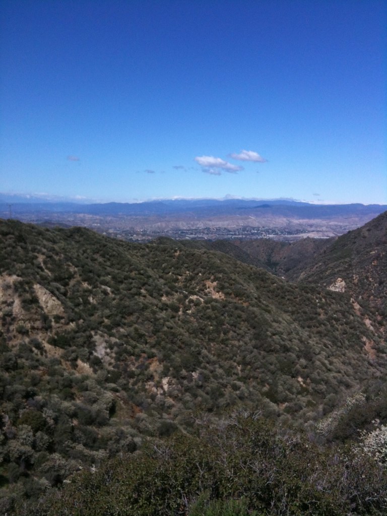
Kagel Mountain is a summit of 3,536 feet in the Los Angeles Gateway Ranger District of Angeles National Forest, about 4.3 miles from San Fernando, California. Several trails start close by. The Beelie Goat Trail is about 0.9 miles away and the Lopez Canyon Trail about 1.2 miles. Farther out are the Bear Divide Chapparal at about 2 miles and the Limerock Peak Trail at about 2.7 miles.
Forecast on Kagel Mountain
Daily highs and lows, wind and the chance of precipitation at the summit and route start for the next 7 days, from the Open-Meteo model.
Questions about Kagel Mountain
How tall is Kagel Mountain?
3,536 ft (1,078 m).
How many routes go to the summit of Kagel Mountain?
One: Beelie Goat Trail.
Mountains nearby
- Limerock Peak2,987 ft · California1 route1.9 mi away
- Cruzan Mesa2,316 ft · California1 route9.3 mi away
- Condor Peak5,437 ft · California1 route9.5 mi away
 Cahuenga Peak1,818 ft · California1 route14 mi awayPhoto: Junkyardsparkle, CC0 (via Wikimedia Commons)
 Mount Hollywood1,615 ft · California3 routes15 mi awayPhoto: Dipsey, CC BY-SA 3.0 (via Wikimedia Commons)
 San Vicente Mountain1,936 ft · California1 route16 mi awayPhoto: Clyde Charles Brown, CC BY-SA 4.0 (via Wikimedia Commons)
Facts about this place
Where it is
- Los Angeles Gateway Ranger District · Ranger district
- Angeles National Forest · National forest
- Nearest town
- San Fernando, California · 4.3 mi
Conditions
Active alerts for Angeles National Forest as of Oct 9, 2026:
Planning to Camp? (Stay Limits/Dispersed Camping Restrictions) until Dec. 15, 2026
information · posted Aug 24, 2026
Williamson Rock Area and Trail Closure
caution · posted Aug 24, 2026
Office & Visitor Center Updates - Need Info or Passes?
information · posted Aug 24, 2026
caution · posted Aug 24, 2026
caution · posted Aug 24, 2026
San Gabriel Canyon OHV Area Prohibitions
caution · posted Aug 24, 2026
San Dimas Experimental Forest Closure
caution · posted Aug 24, 2026
Fire Danger Level Elevated to "Very High"
fire-restriction · posted Aug 24, 2026
Rincon-Redbox Road (2N24) Closure
caution · posted Aug 24, 2026
Source: USFS forest alerts
Nearby
- Beelie Goat TrailHiking0.9 mi
- Lopez Canyon TrailHiking1.2 mi
 Bear Divide ChapparalHikingPhoto: newagecrap, CC BY 2.0 (via Flickr)2 mi
- Upper Pacoima Canyon TrailHiking2.3 mi
- MAREK TRUCK TRAILHiking2.6 mi
- Limerock Peak TrailHiking2.7 mi
 Oak Springs TrailHikingPhoto: Stiggs13, CC BY 2.0 (via Flickr)3 mi
 Big Tujunga CreekCanoeingPhoto: MajaTrochimczyk, CC BY 3.0 us (via Wikimedia Commons)10 mi
Source: Roamze catalog (indexable pages within 10 miles, PostGIS distance)
Is Kagel Mountain open right now?
Alert in the area
The Forest Service lists 7 alerts for Angeles National Forest.
Rincon-Redbox Road (2N24) Closure
Agency alert covering Angeles National Forest · Order 05-01-26-13 · USFS · Angeles National Forest
Fire Danger Level Elevated to "Very High"
Agency alert covering Angeles National Forest · USFS · Angeles National Forest
San Gabriel Canyon OHV Area Prohibitions
Agency alert covering Angeles National Forest · Order 05-01-26-09 · USFS · Angeles National Forest
San Dimas Experimental Forest Closure
Agency alert covering Angeles National Forest · USFS · Angeles National Forest
Eaton Fire Area Closure
Agency alert covering Angeles National Forest · Order 05-01-26-04 · USFS · Angeles National Forest
As of · Source: USFS · Angeles National Forest. Agencies don't list every closure — check before you go.
